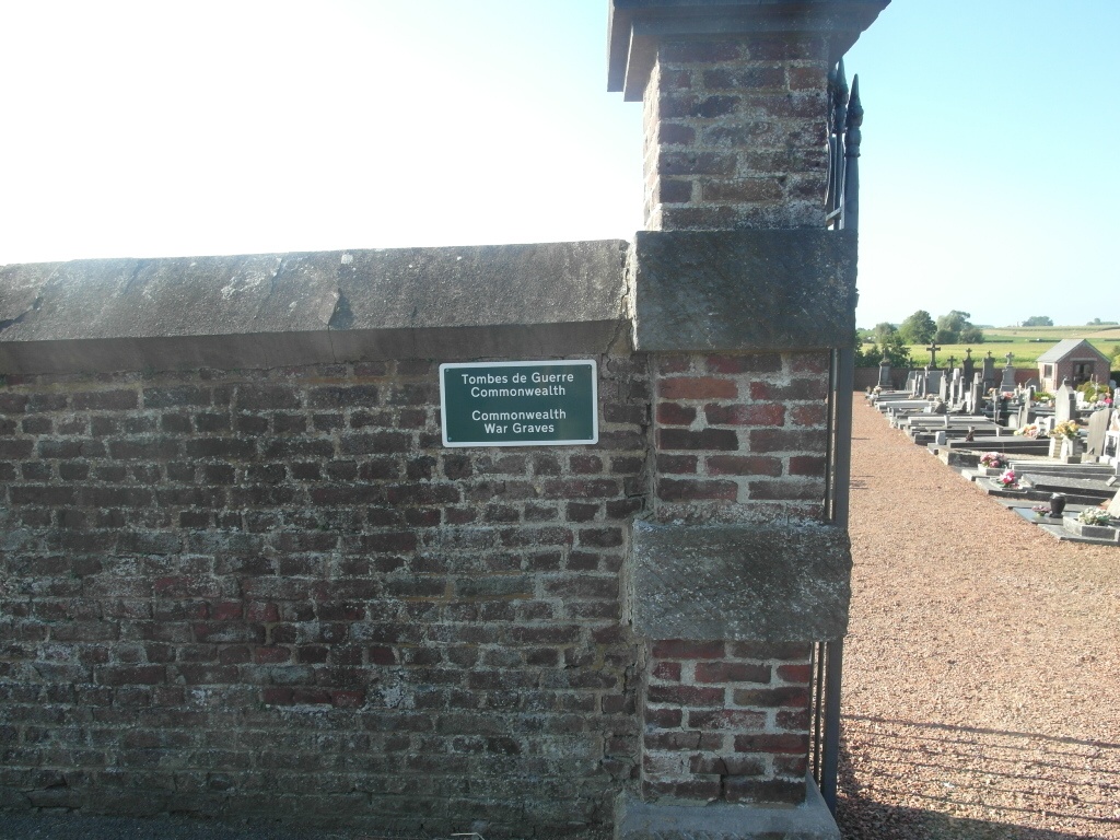
Irchonwelz Communal Cemetery
- Country Belgium
- Total identified casualties 11 Find these casualties
- Region Hainaut
- Identified casualties from First & Second World War
- GPS Coordinates Latitude: 50.62015, Longitude: 3.74679

Location information
The village of Irchonwelz is located south-west of the town of Ath off the N7. From the motorway E42 turn off at junction 32 onto the N7 direction Ath. Follow the N7 past the villages of Gaurain-Ramecroix, Barry, Leuze-en-Hainaut and Ligne. After crossing the railway at Ligne take the first turning right to Villers-Saint-Amand, then the first turning left to Irchonwelz along rue Robert Delange. Take the first turning right off this road in the rue Henri Ducarmois, cross the railway at the level crossing then take the first right. Follow this lane, which runs along the side of the railway, to the cemetery (approx. 200m).
History information
The 11 Commonwealth burials of the First World War in Irchonwelz Communal Cemetery all date from the final advance or the post-Armistice period. There is 1 unidentified burial of the Second World War here.