Donnemain-Saint-Mames Communal Cemetery
- Country France
- Total identified casualties 6 Find these casualties
- Region Eure-et-Loir
- Identified casualties from Second World War
- GPS Coordinates Latitude: 48.10425, Longitude: 1.36955
Location information
Donnemain-Saint-Mames is a village some 5 kilometres north-east of Chateaudun, a small town on the Paris-Chartres-Tours road. The Cemetery is 333 metres south of the village church on the road to Orsonville.
History information
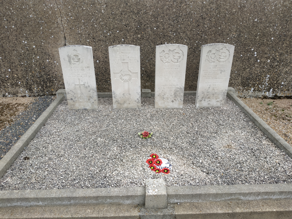
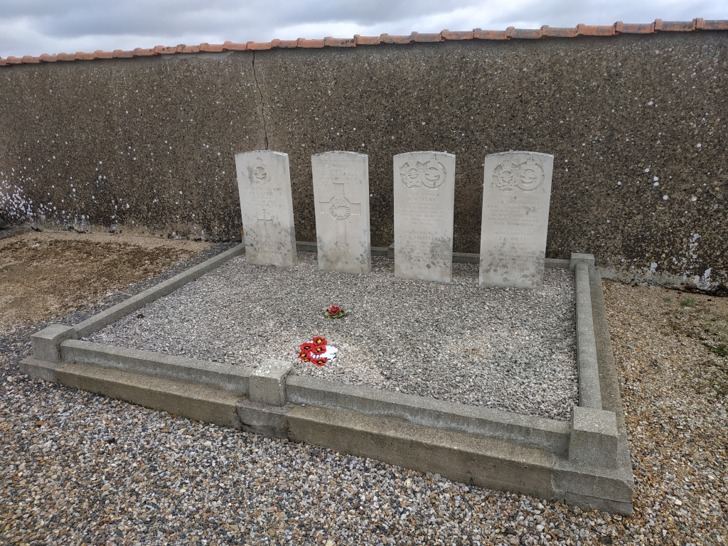
North of the entrance and adjacent to the eastern wall are the graves of six airmen.