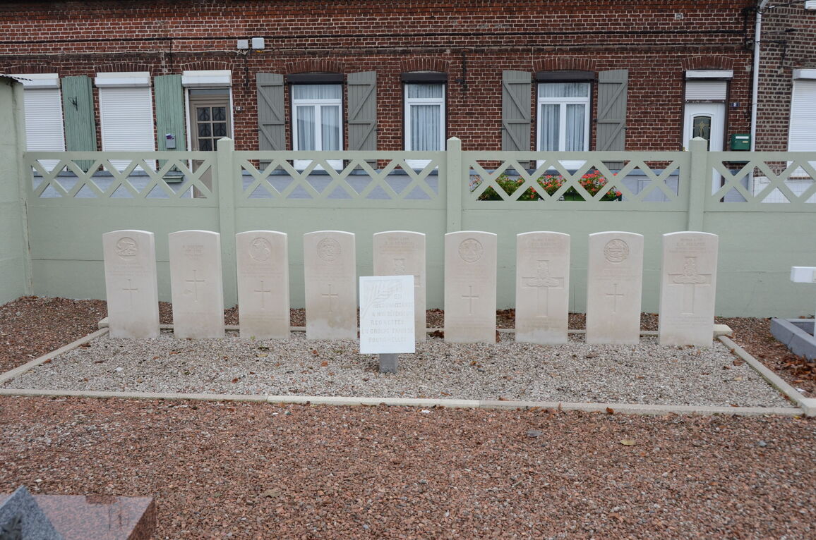
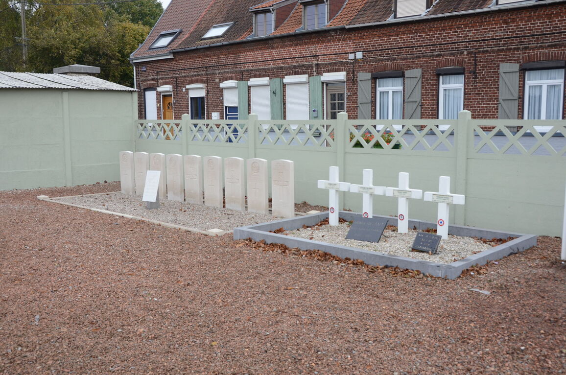
Bourghelles Communal Cemetery
- Country France
- Total identified casualties 8 Find these casualties
- Region Nord
- Identified casualties from Second World War
- GPS Coordinates Latitude: 50.56775, Longitude: 3.24328
Location information
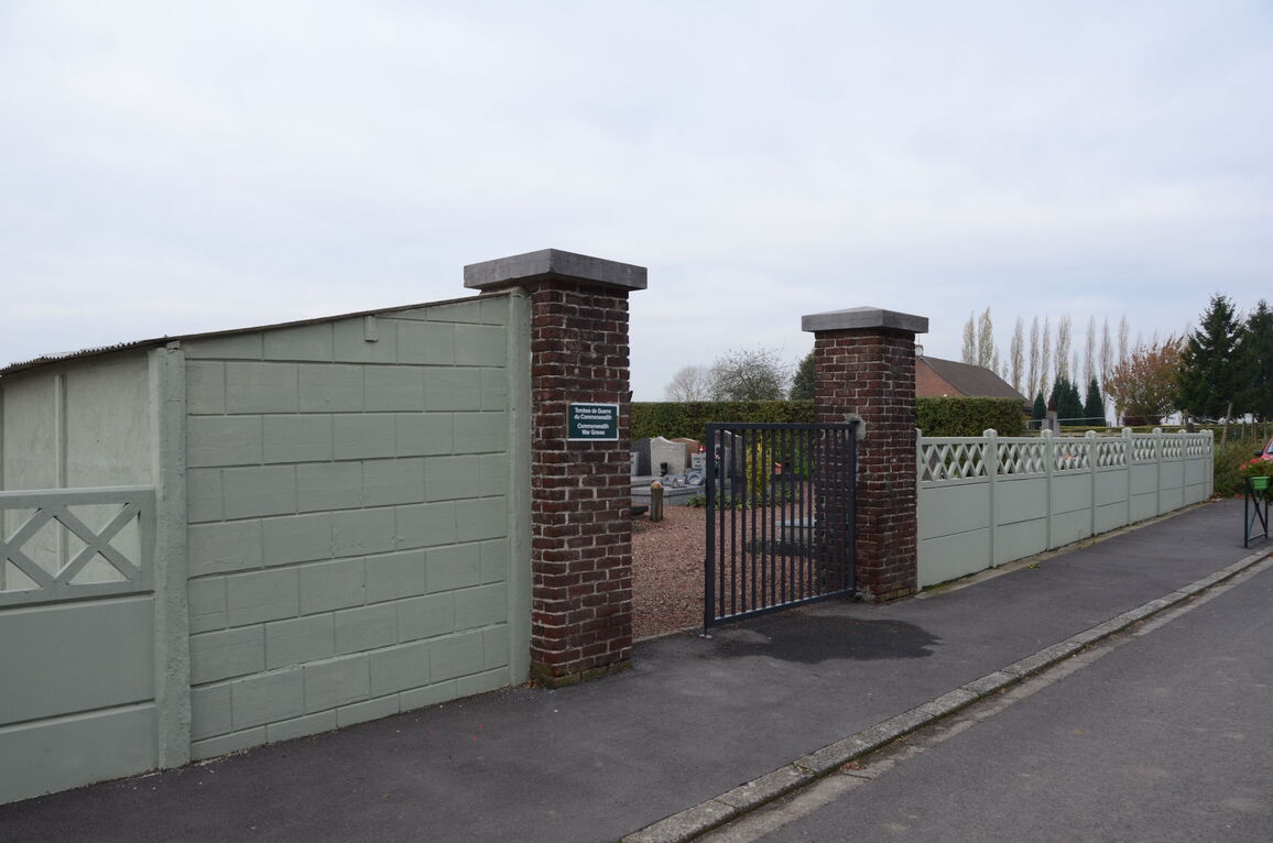
Bourghelles is a village 14 kilometres south-east of Lille and near the Franco-Belgian border. The Communal Cemetery is at the north-eastern end of the village, on the secondary road to Wanneham. The Commonwealth War Graves are located in the south-eastern part of the Cemetery.