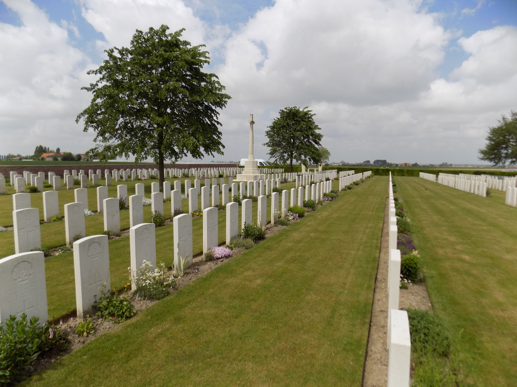
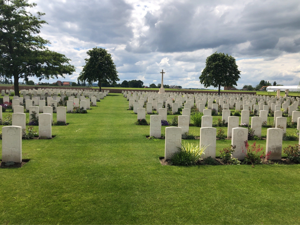
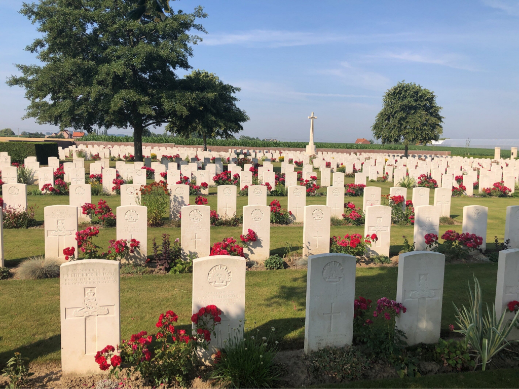
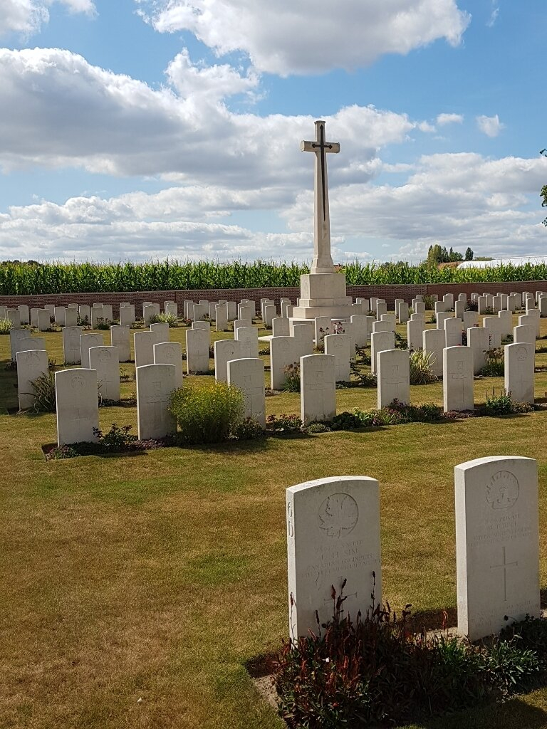
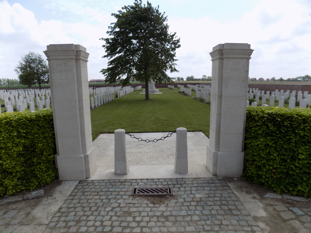
The Huts Cemetery
- Country Belgium
- Total identified casualties 1098 Find these casualties
- Region West-Vlaanderen
- Identified casualties from First World War
- GPS Coordinates Latitude: 50.82333, Longitude: 2.81984
Location information
The Huts Cemetery is located 6 Kms south-west of Ieper town centre. From Ieper town centre the Dikkebusseweg (N375) is reached via Elverdingsestraat, straight over a roundabout onto J. Capronstraat (for 30 metres), then left along M. Fochlaan. Immediately after the train station the first right hand turning is the Dikkebusseweg. On reaching Dikkebus village the cemetery is reached by taking a right hand turning onto the Melkerijstraat. This road continues for 1 Km, over a crossroads and bending sharply to the right, then meeting a junction with the Steenakkerstraat. The cemetery is located 200 metres after this junction on the Steenakkerstraat.
Visiting information
Wheelchair access to this cemetery is possible via the main entrance.
For further information regarding wheelchair access, please contact our Enquiries Section on 01628 507200.
History information
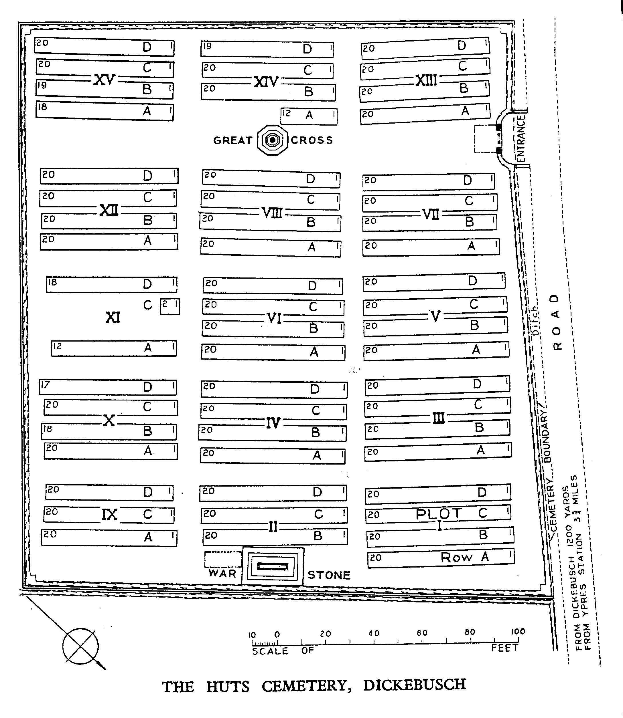
This cemetery takes its name from a line of huts strung along the road from Dickebusch (now Dikkebus) to Brandhoek, which were used by field ambulances during the 1917 Allied offensive on this front. Plots I to X and XII to XIV were filled between July and November 1917. Plots XV and XI followed. Nearly two-thirds of the burials are of gunners as many artillery positions existed nearby.
The cemetery was closed in April 1918 when the German advance (the Battle of the Lys) brought the front line very close. The advance was finally halted on the eastern side of the village, following fierce fighting at Dickebusch Lake, on 8 May.
There are now 1,094 Commonwealth burials of the First World War in the cemetery.
The cemetery was designed by Sir Edwin Lutyens.