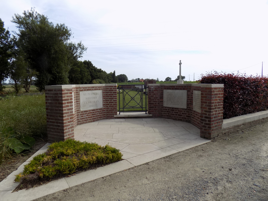
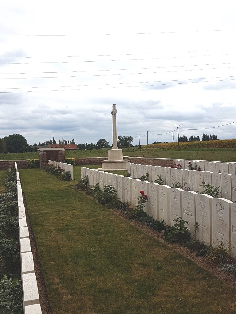
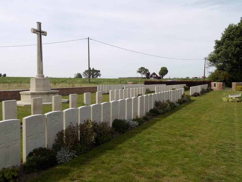
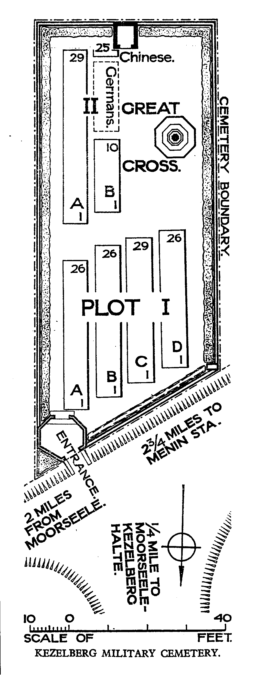
Kezelberg Military Cemetery
- Country Belgium
- Total identified casualties 161 Find these casualties
- Region West-Vlaanderen
- Identified casualties from First World War
- GPS Coordinates Latitude: 50.83328, Longitude: 3.12336
Location information
Kezelberg Military Cemetery is located 19 km east of Ieper town centre on a road leading from the N8 Meenseweg connecting Ieper to Menen. The N8 leads from Ieper to Menen via Geluveld and Geluwe. On reaching the town of Menen, the left hand turning onto the N32 Bruggestraat leads to Roeselare. 3 km along the N32 lies the right hand turning onto the Ieperstraat. 400 metres along the Ieperstraat lies the right hand turning onto the Korteweg. The cemetery lies 200 metres along the Korteweg on the left hand side of the road.
Visiting information
Wheelchair access with some difficulty.
For further information regarding wheelchair access, please contact our Enquiries Section on telephone number: 01628 507200
History information
The village of Moorsele was captured by the 15th Royal Irish Rifles on 14 October 1918, after remaining in German hands during almost the whole of the war. Kezelberg Military Cemetery was made in October and November 1918.
The cemetery contains 147 Commonwealth burials of the First World War and 14 German war graves. Five American soldiers were removed to the American Cemetery at Waereghem.
The cemetery was designed by W H Cowlishaw.