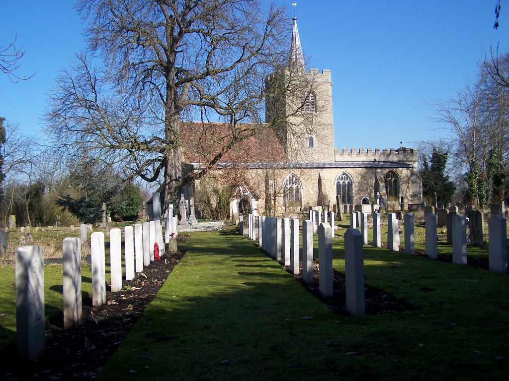
Whittlesford (Ss. Mary And Andrew) Churchyard
- Country United Kingdom
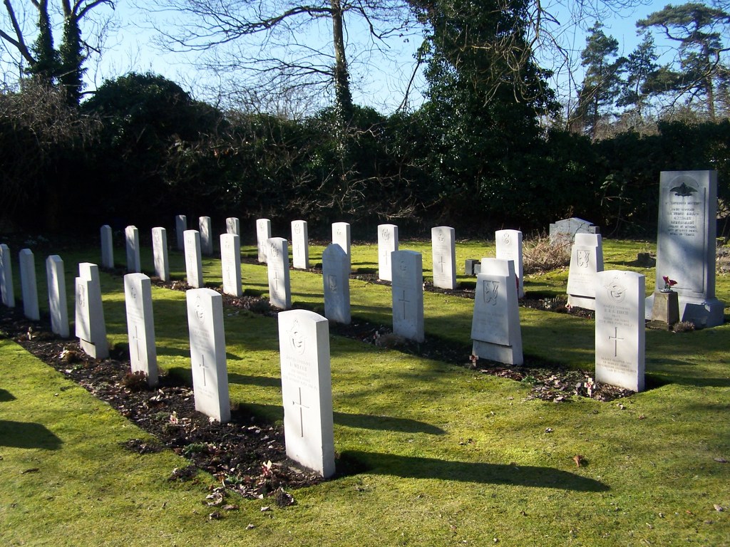
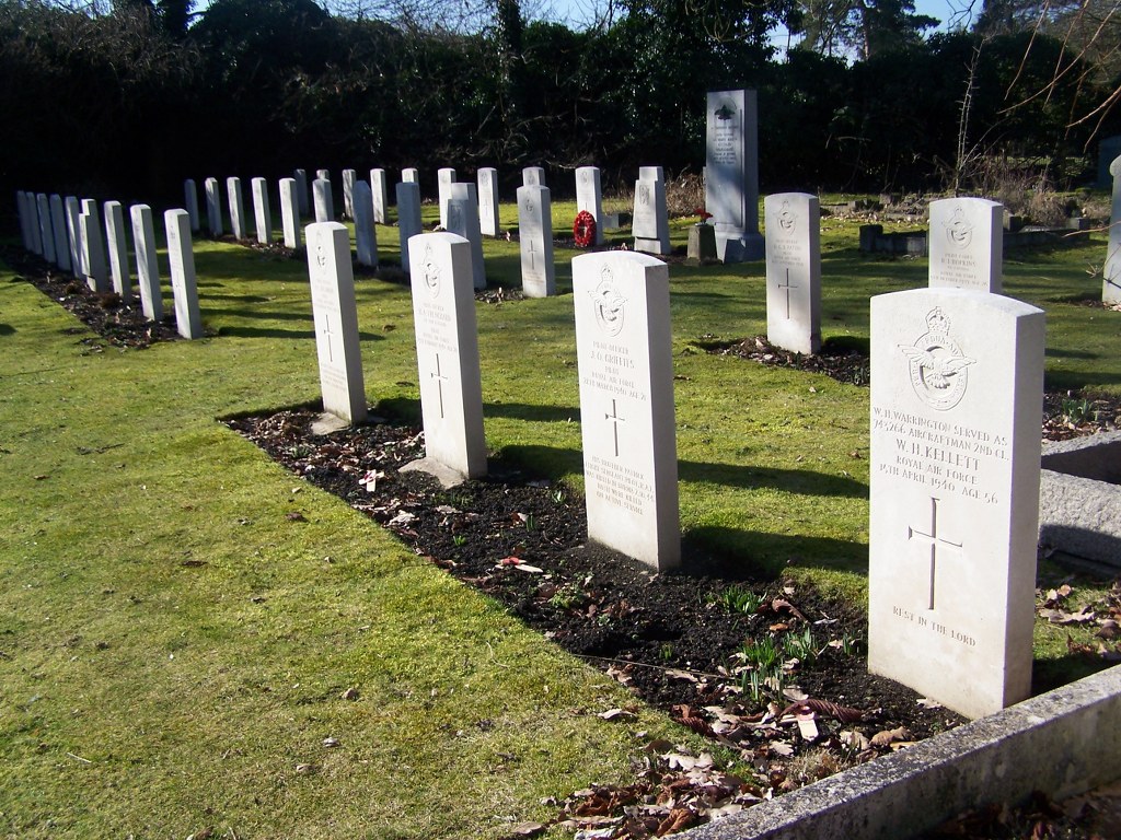
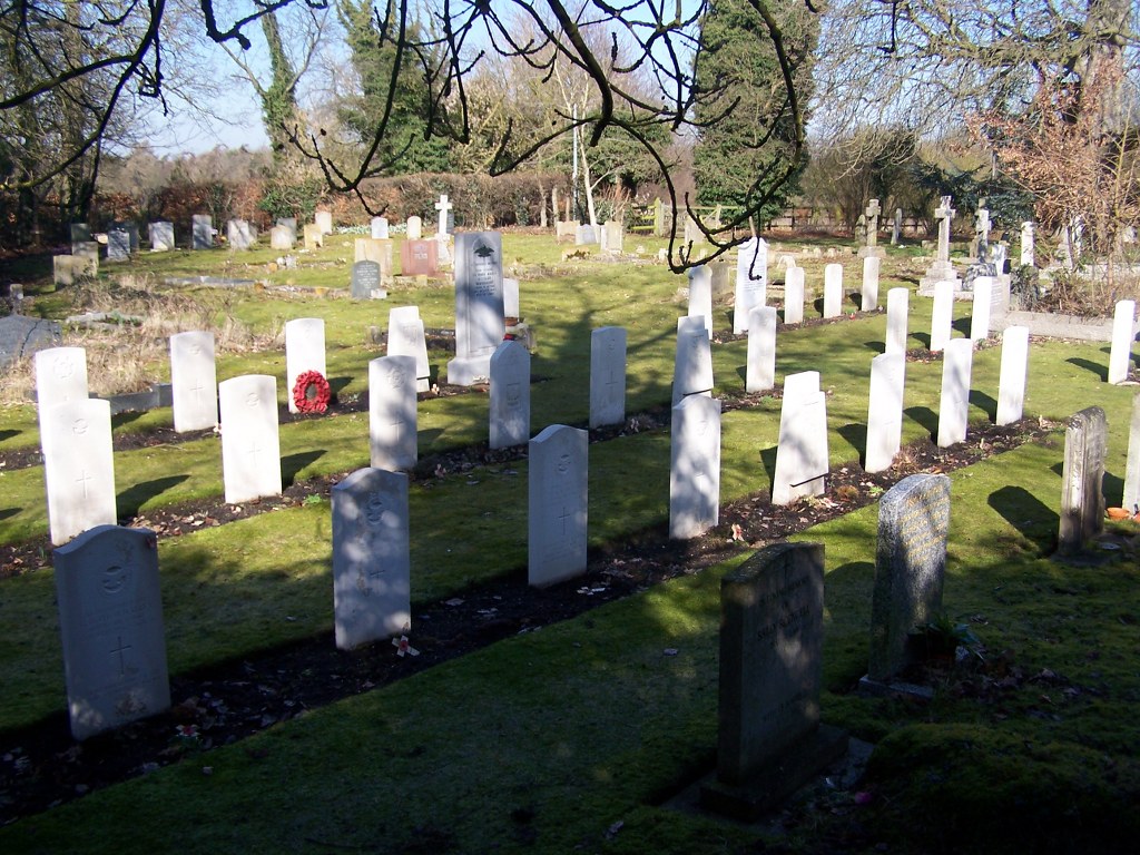
- Total identified casualties 32 Find these casualties
- Region Cambridgeshire
- Identified casualties from First & Second World War
- GPS Coordinates Latitude: 52.11525, Longitude: 0.15165
Location information
Whittlesford is a village 7 miles south of Cambridge and 1 mile north-east of junction 10 of the M11, on the opposite side of the motorway to the former Duxford R.A.F. Station (now the Imperial War Museum, Duxford). The Churchyard is on the north side of the village, along Church Lane.
History information
The churchyard contains one Commonwealth burial of the 1914-1918 war and 28 Commonwealth burials of the 1939-1945 war. In addition, there are the graves of a Polish airman and a Czech soldier, plus 19 non world war burials here.