Lapugnoy Military Cemetery
- Country France
- Total identified casualties 1338 Find these casualties
- Region Pas de Calais
- Identified casualties from First & Second World War
- GPS Coordinates Latitude: 50.51796, Longitude: 2.52532
Location information
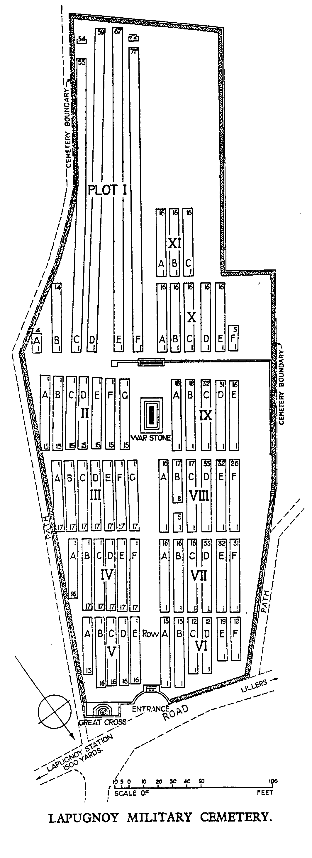
Lapugnoy is a village 6 kilometres west of Bethune. From the centre of Lapugnoy, head south-west on the D70 in the direction of Marles-les-Mines. On the outskirts there is a crucifix at the side of the main road, turn right here towards Allouagne. After approximately 500 metres there is a track on the left hand side (the Cemetery is signposted here) and the Cemetery can be found on the left hand side, approximately 500 metres, along this track.
History information
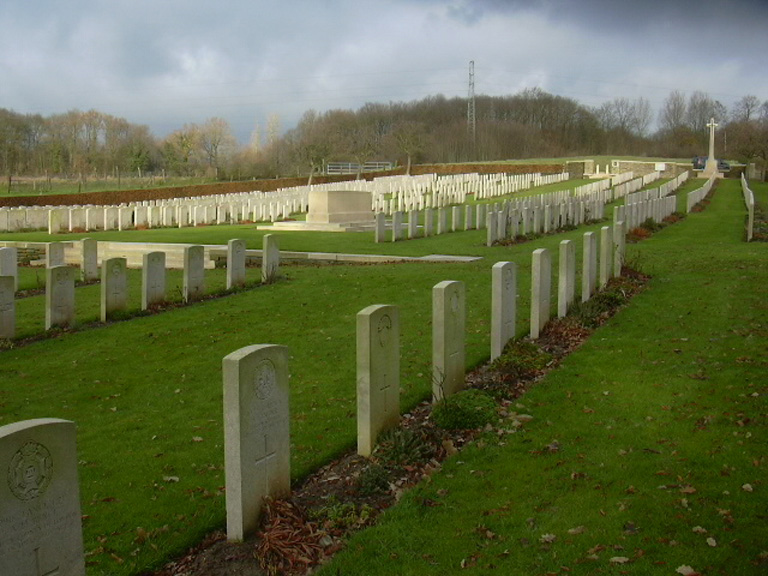
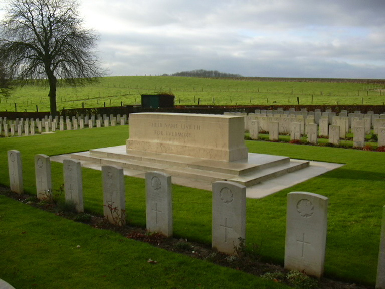
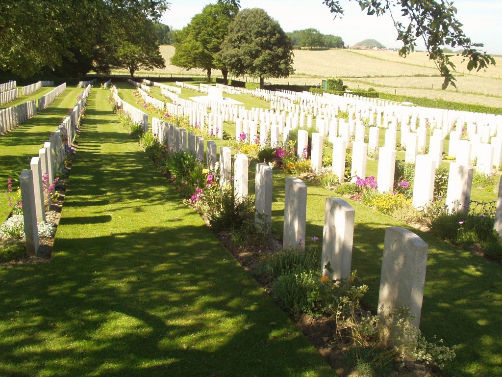
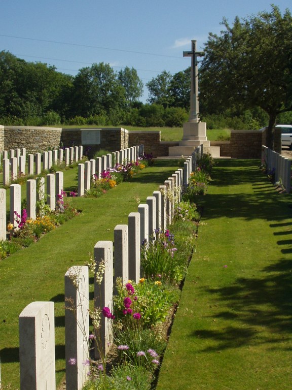
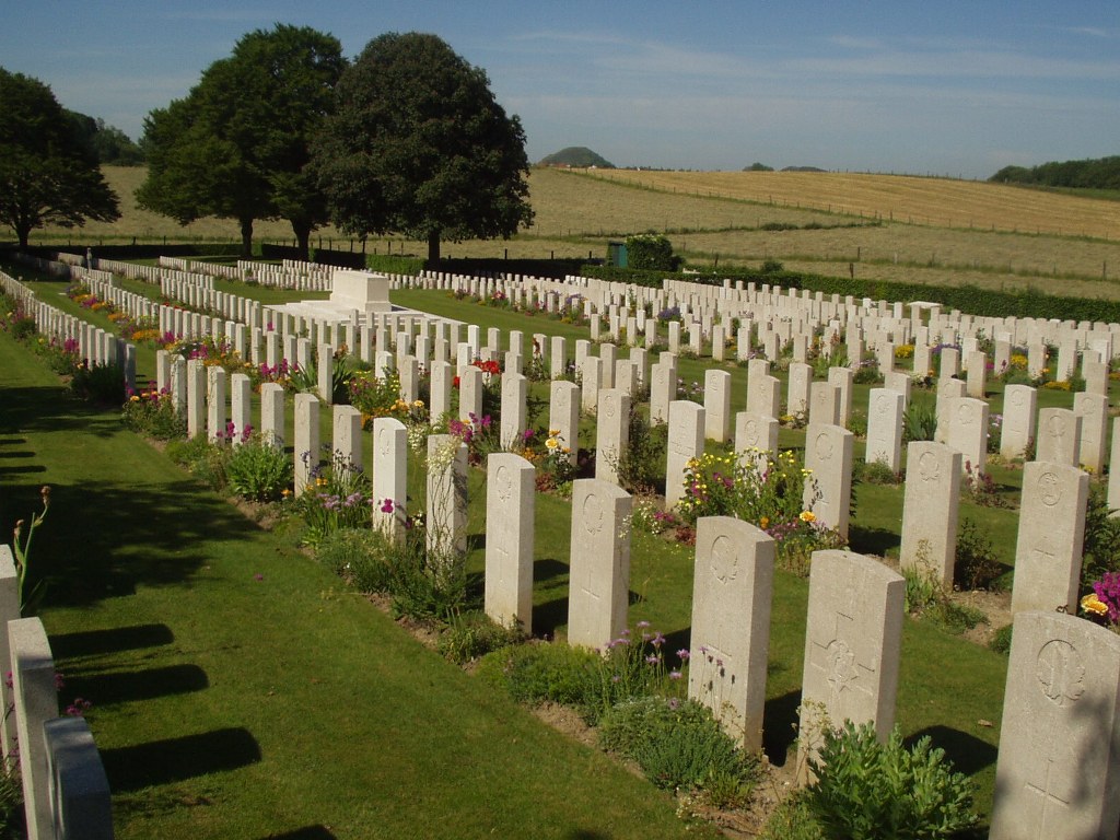
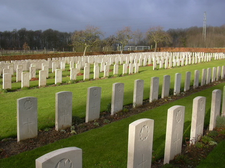
The first burials were made in Plot I of the cemetery in September 1915, but it was most heavily used during the Battle of Arras, which began in April 1917. The dead were brought to the cemetery from casualty clearing stations, chiefly the 18th and the 23rd at Lapugnoy and Lozinghem, but between May and August 1918 the cemetery was used by fighting units. Lapugnoy Military Cemetery contains 1,324 Commonwealth burials of the First World War, 3 being unidentified, and 11 from the Second World War, all dating from May 1940. The cemetery was designed by Sir Edwin Lutyens.