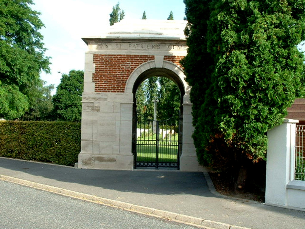
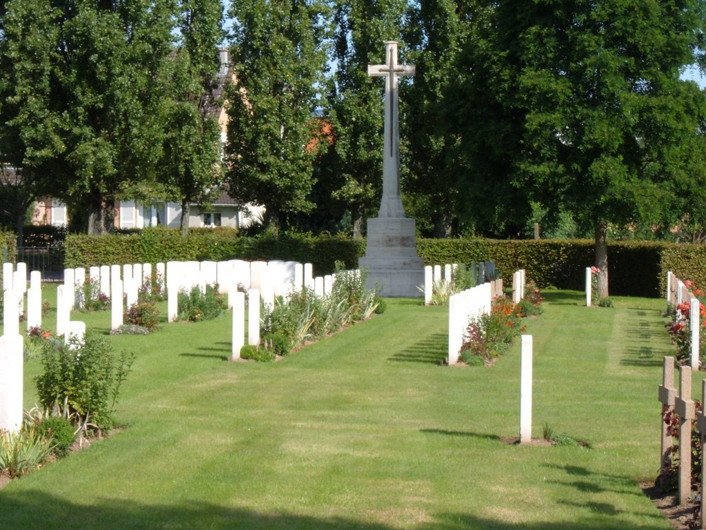
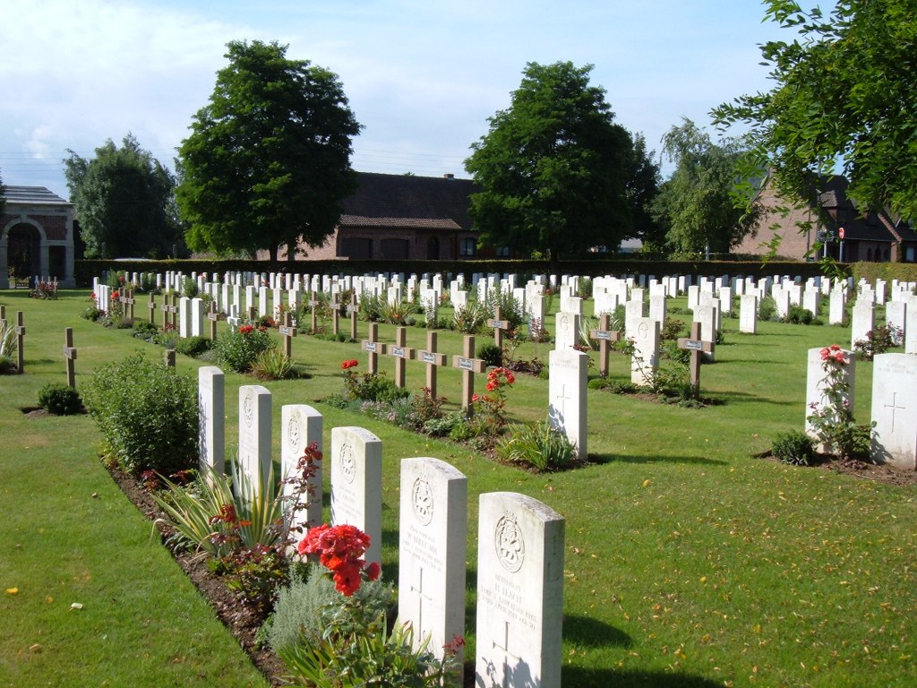
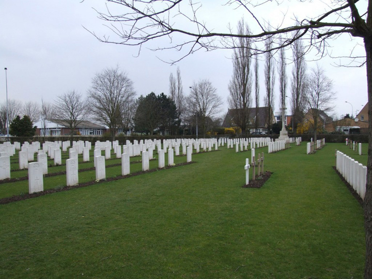
St. Patrick's Cemetery, Loos
- Country France
- Total identified casualties 542 Find these casualties
- Region Pas de Calais
- Identified casualties from First World War
- GPS Coordinates Latitude: 50.45661, Longitude: 2.78888
Location information
From the National Road (N43 Lens-Bethune), turn onto the D165 towards Loos-en-Gohelle following signs for Wingles and La Bassee. Before reaching Loos-en-Gohelle village square turn left then first left again. The cemetery is located in the street; 'Rue Alexandre Maniez'.
History information
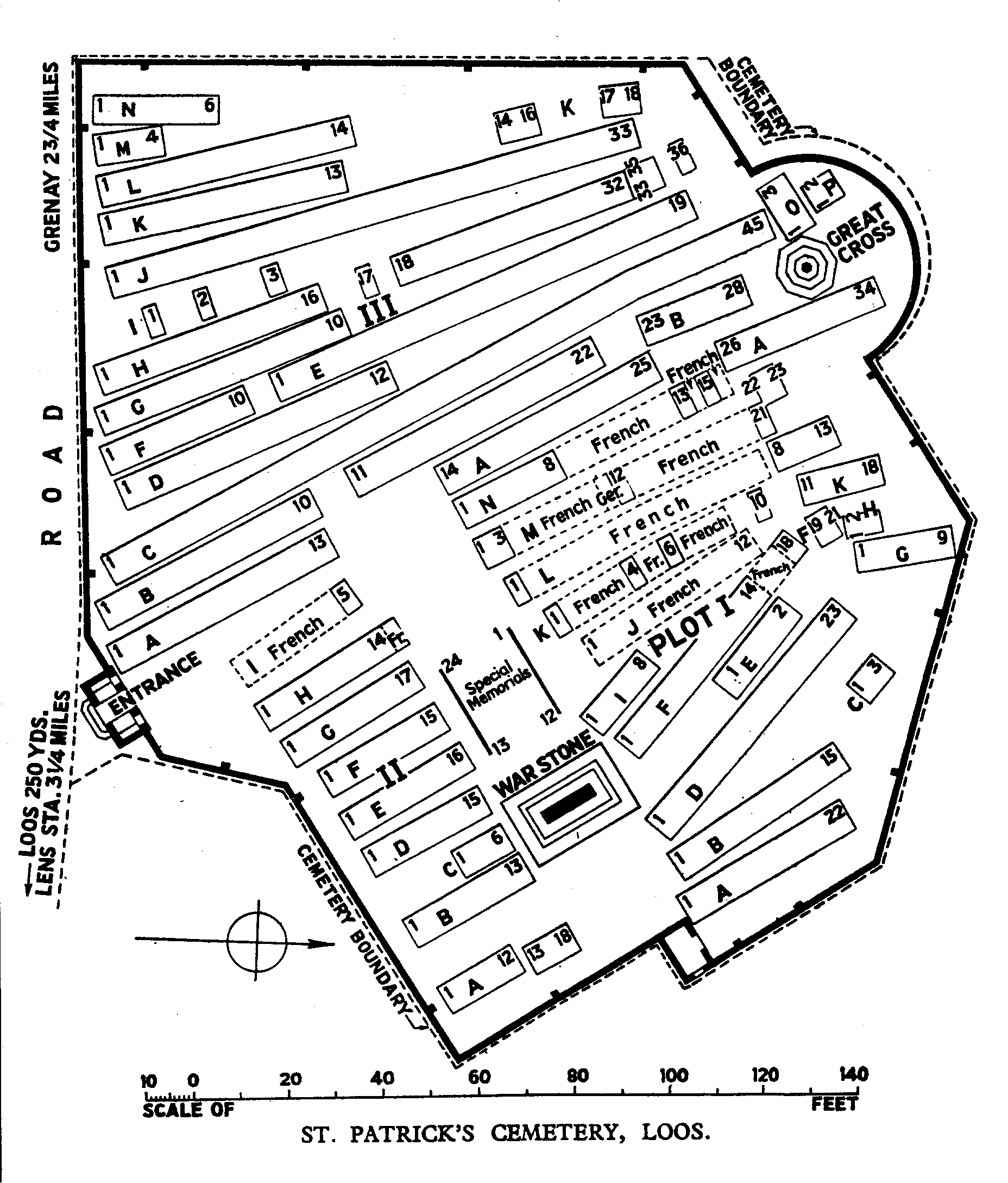
St. Patrick's Cemetery was begun during the Battle of Loos by French and British troops, and used in 1916 very largely by the units of the 16th (Irish) Division. It was closed in June 1918, but a small number of graves were brought into it after the Armistice from the battlefields between Loos and Hulluch. The irregular arrangement of the rows is due to the conditions under which the burials were carried out. There are now 583 Commonwealth burials of the 1914-18 war commemorated in this cemetery. Of these, 41 are unidentified and the graves of 23, destroyed by shell fire, are now represented by special memorials. There are also 54 French burials here. The cemetery covers an area of 3,001 square metres and is enclosed by a brick wall.