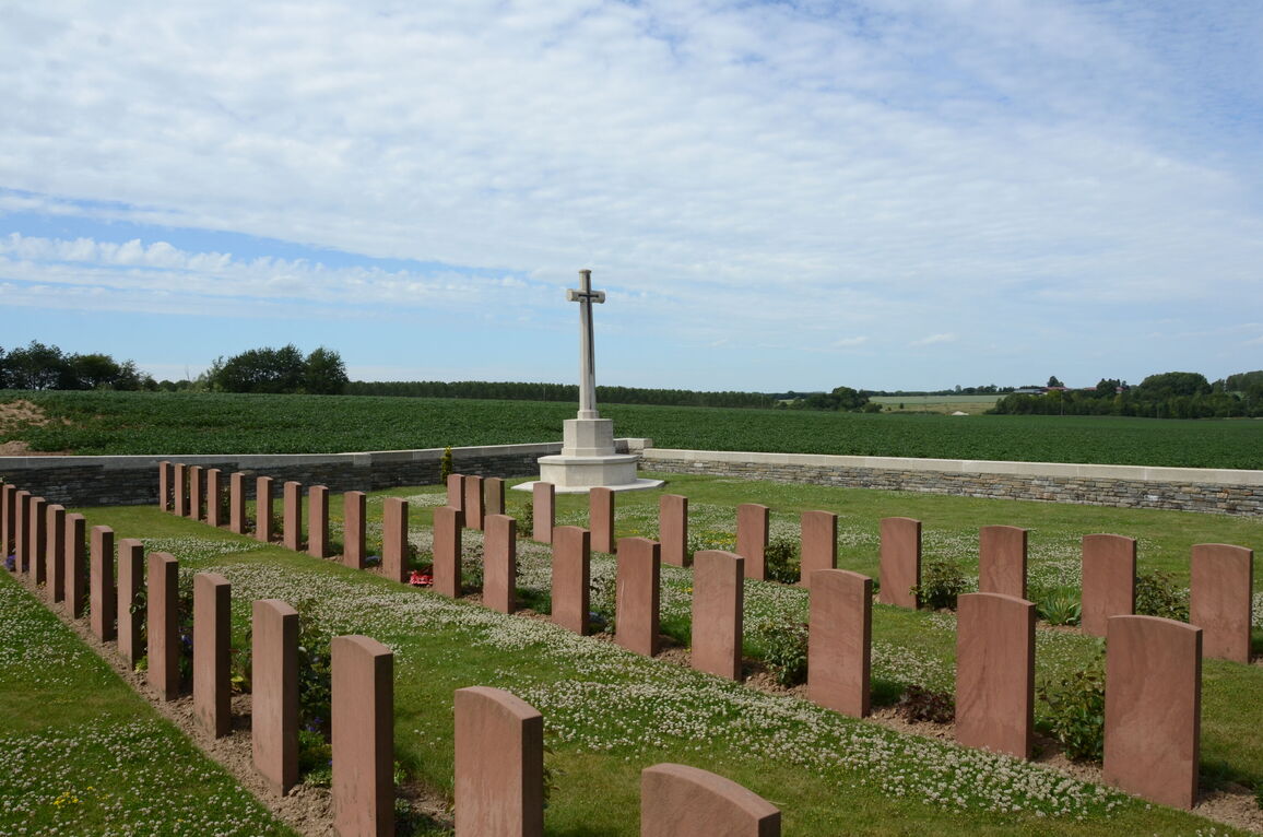
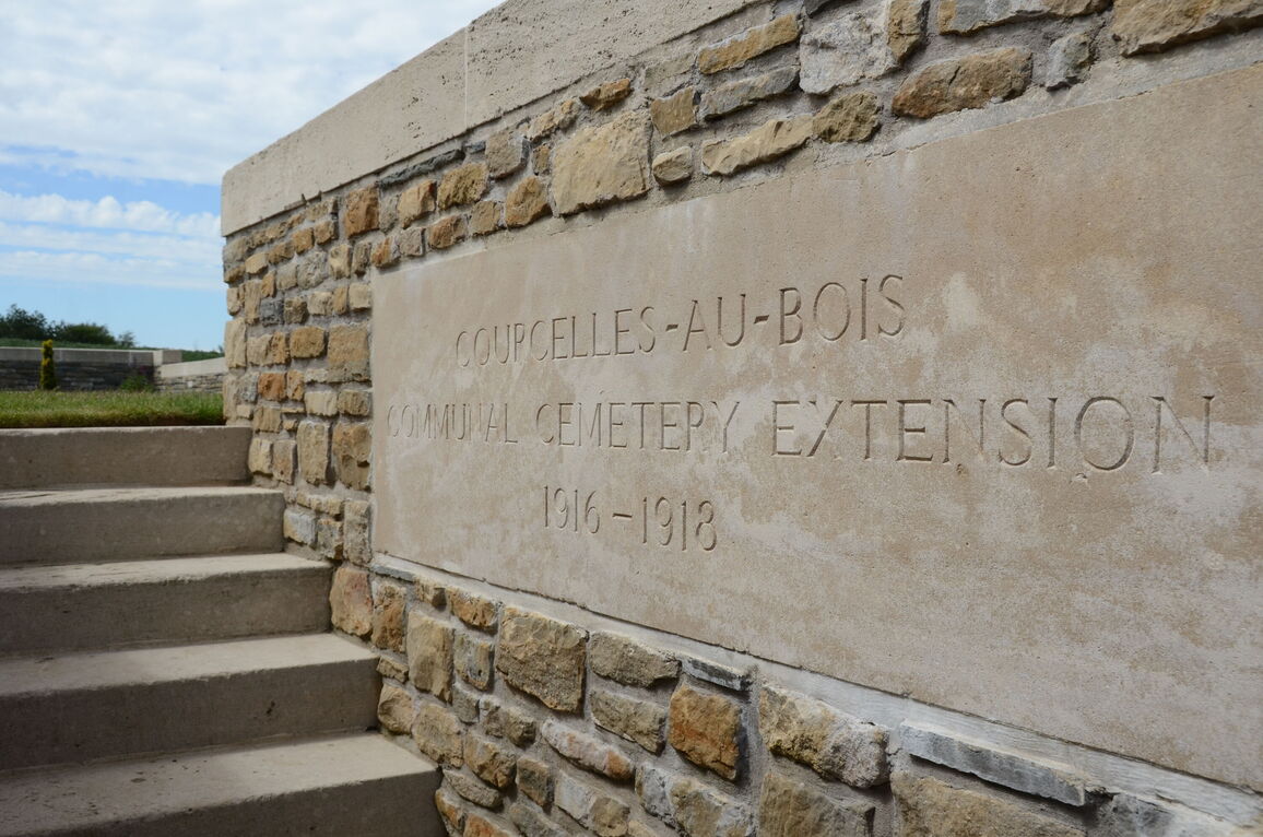
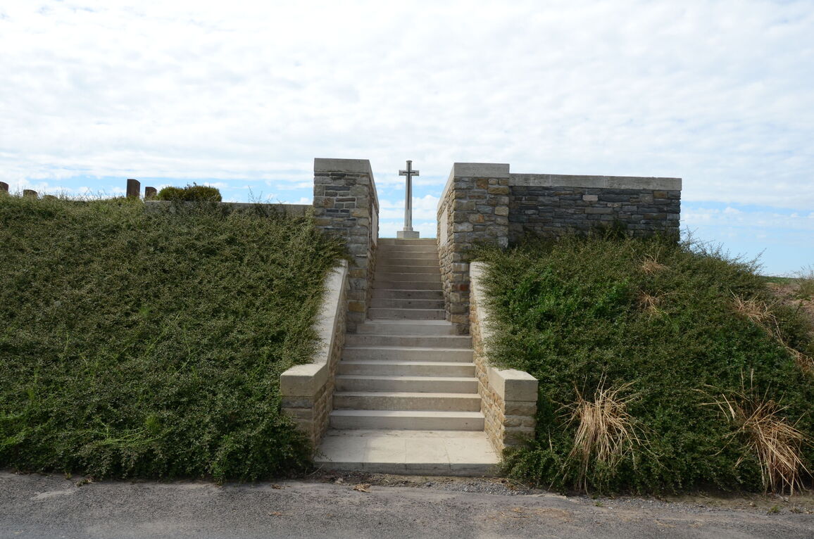
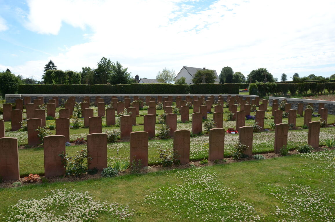
Courcelles-Au-Bois Communal Cemetery Extension
- Country France
- Total identified casualties 115 Find these casualties
- Region Somme
- Identified casualties from First World War
- GPS Coordinates Latitude: 50.10582, Longitude: 2.58548
Location information
Courcelles-au-Bois is a village approximately 13 kilometres north of Albert. Take the D129 out of Mailly Maillet in the direction of Colincamps, Courcelles. About 2.5 kilometres further on turn left on the C5 towards Courcelles. Turn right in the village of Courcelles-au-Bois following the CWGC sign, and the cemetery is about 100 metres further on the left.
Visiting information
Wheelchair access with some difficulty. For further information regarding wheelchair access, please contact our Enquiries Section on telephone number 01628 507200.
History information
The extension was opened in October 1916 and used by field ambulances and fighting units until March 1917, when the German Army withdrew from the Ancre. It was used again in April 1918 during the German attack on Amiens. The village was in German hands for some months, but was retaken in August 1918. There are now 115 First World War burials in the extension, including three brought in from the communal cemetery in 1934. The extension was designed by F Higginson.