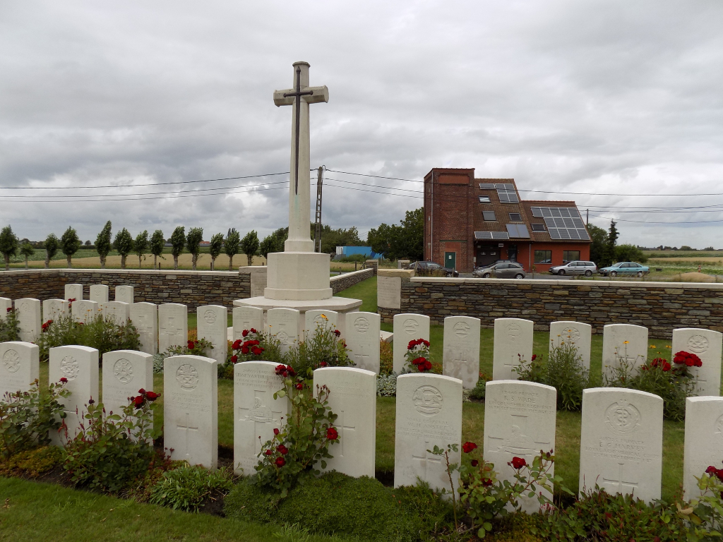
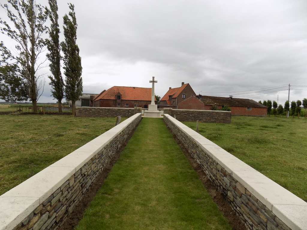
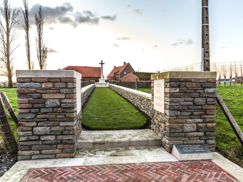
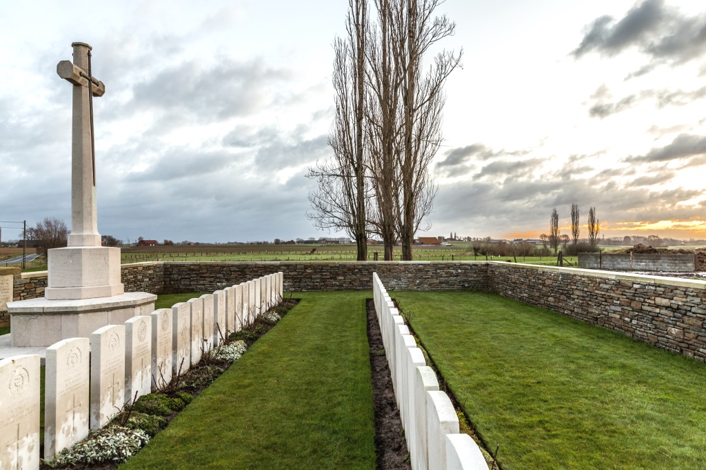
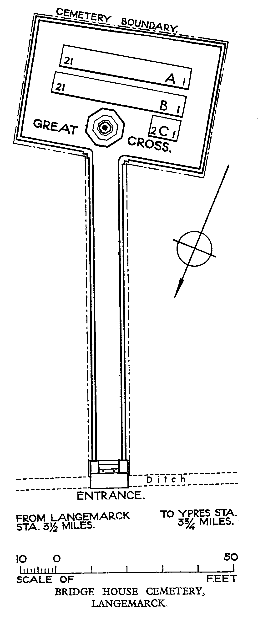
Bridge House Cemetery
- Country Belgium
- Total identified casualties 41 Find these casualties
- Region West-Vlaanderen
- Identified casualties from First World War
- GPS Coordinates Latitude: 50.87972, Longitude: 2.93675
Location information
Bridge House Cemetery is located 5 kilometres north east of Ieper town centre on the Roeselarestraat, a road leading from the Brugseweg (N313), connecting Ieper to Brugge. Two streets connect Ieper town centre onto the Brugseweg; Torhoutstraat leads from the market square onto the Kalfvaartstraat. At the end of Kalfvaartstraat is a large junction on which Brugseweg is the first right hand turning. 5 kilometres along the Brugseweg, just before the village of St-Juliaan, lies the right hand turning onto the Peperstraat. 1 kilometre along the Peperstraat lies the right hand turning onto Roeselarestraat. The cemetery is located immediately after this junction on the left hand side of Roeselarestraat.
Visiting information
Wheelchair access possible via main entrance. For further information regarding wheelchair access, please contact our Enquiries Department on telephone number: 01628 634221
History information
Bridge House Cemetery, named after a farmhouse, was made by the 59th (North Midland) Division at the end of September 1917. All the graves but five are those of soldiers of that division, and all except one date from 26-28 September and the Battle of Polygon Wood. The cemetery contains 45 First World War burials, four of them unidentified. The cemetery was designed by A J S Hutton.