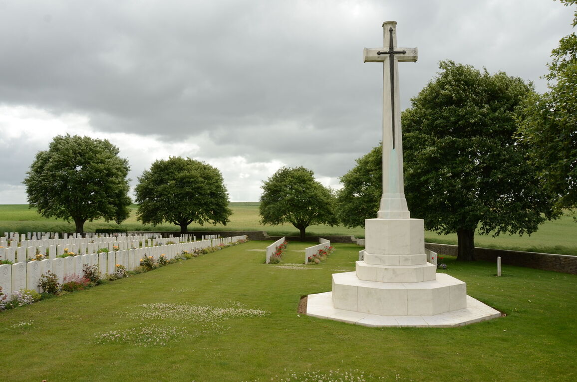
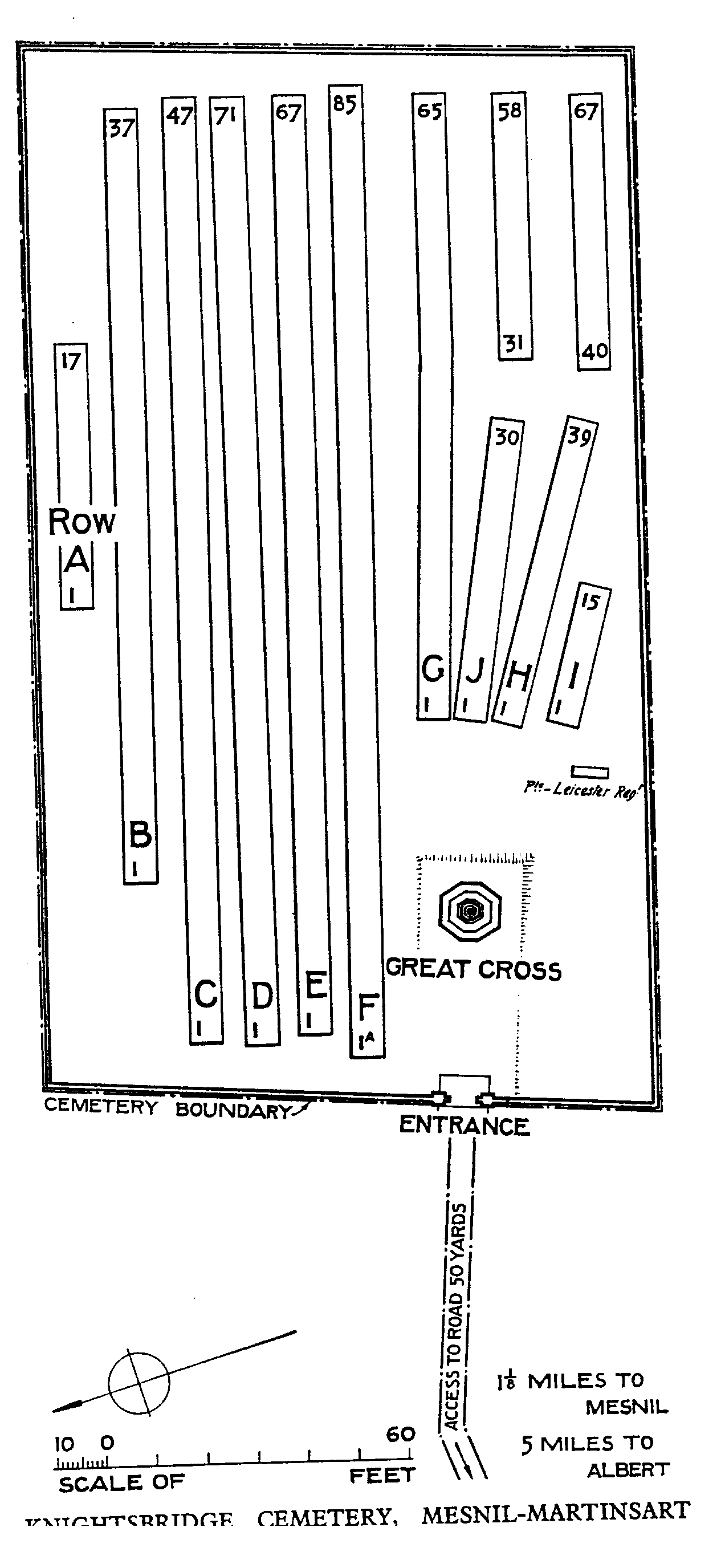
Knightsbridge Cemetery, Mesnil-Martinsart
- Country France
- Total identified casualties 409 Find these casualties
- Region Somme
- Identified casualties from First World War
- GPS Coordinates Latitude: 50.06756, Longitude: 2.64373

Location information
The village of Mesnil is about 8 kilometres north of the town of Albert on the D129 road. The cemetery is about 2 kilometres north-east of Mesnil (signposted in the centre of Mesnil). Access is by a farm track of which 1 kilometre is tarmac and 1 kilometre is dirt track (unsuitable for cars). The cemetery is 200 metres from the track and no permanent grass pathway exists.
History information
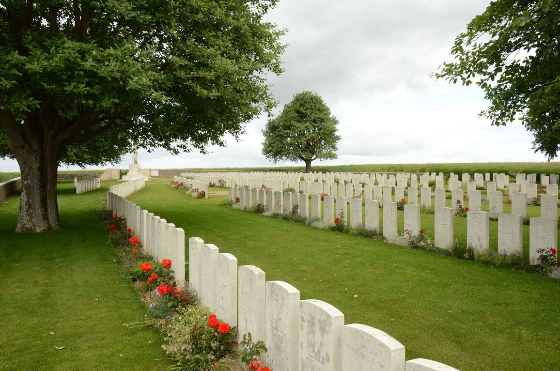
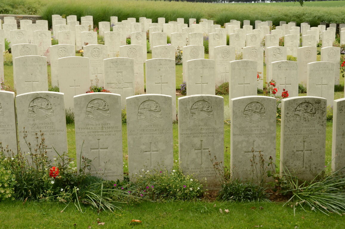
The cemetery, which is named from a communication trench, was begun at the outset of the Battle of the Somme in 1916. It was used by units fighting on that front until the German withdrawal in February 1917 and was used again by fighting units from the end of March to July 1918, when the German advance brought the front line back to the Ancre. After the Armistice, some burials in Rows G, H and J were added when graves were brought in from isolated positions on the battlefields of 1916 and 1918 round Mesnil.
Knightsbridge Cemetery contains 548 First World War burials, 141 of them unidentified.
The cemetery was designed by Sir Reginald Blomfield.