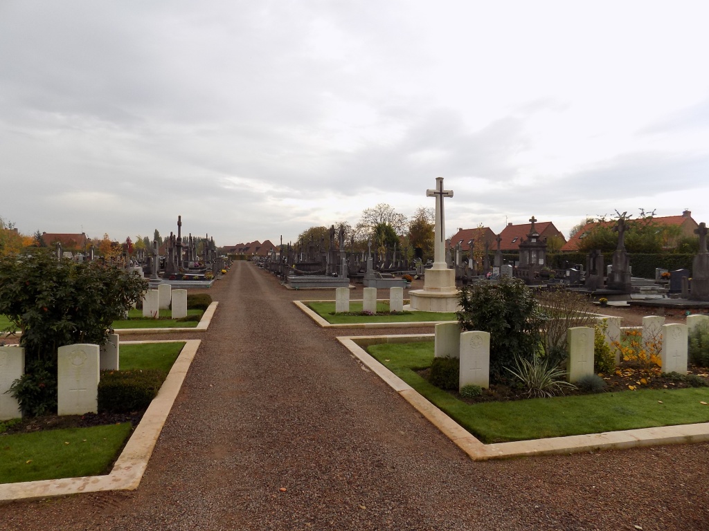
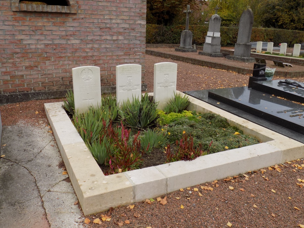
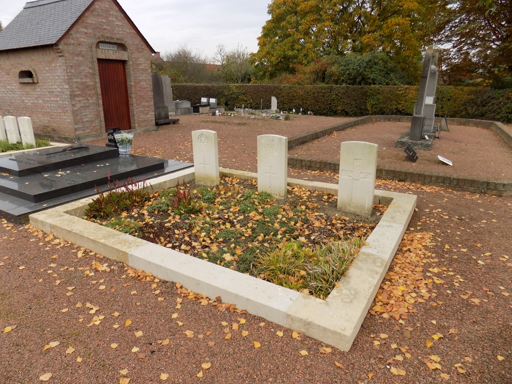
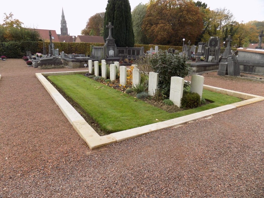
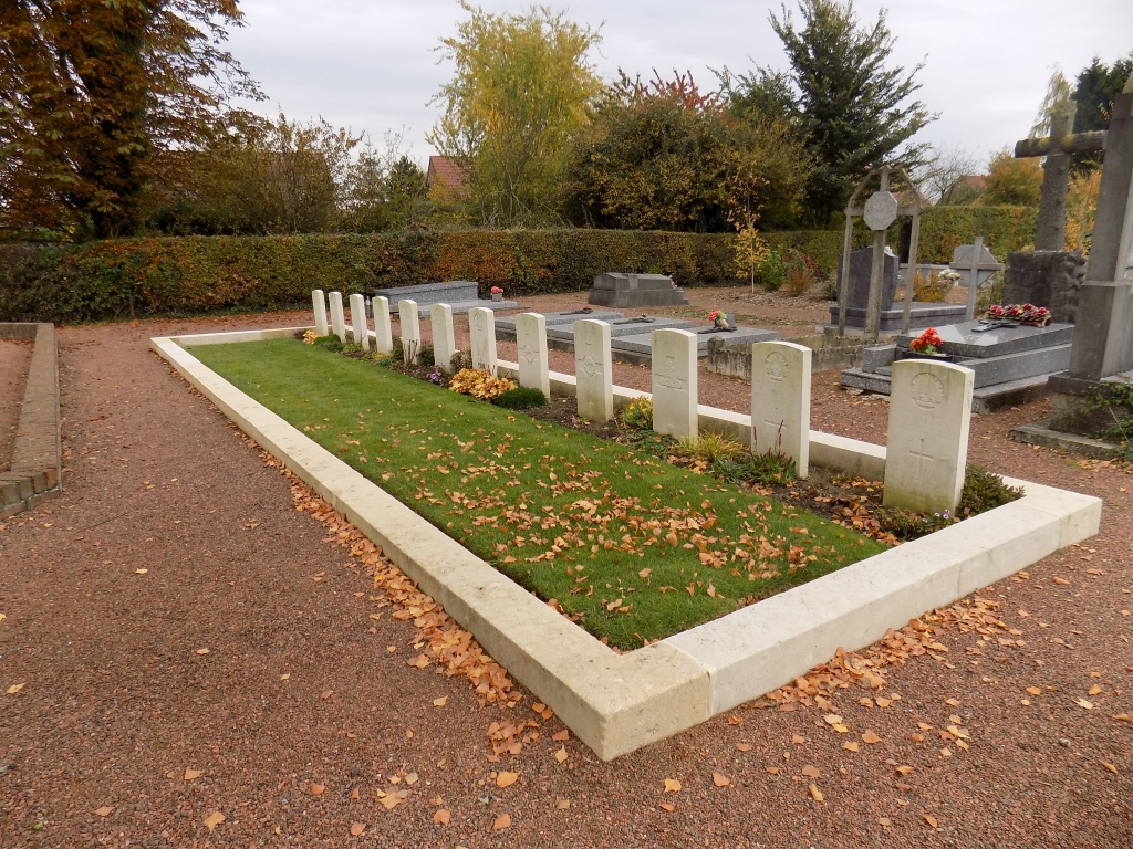
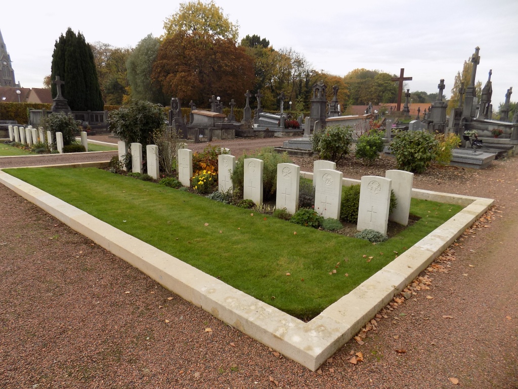
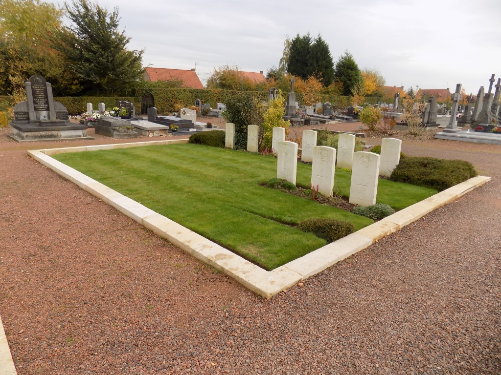
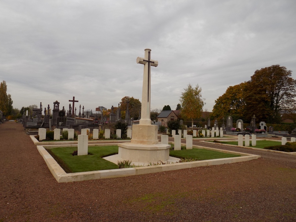
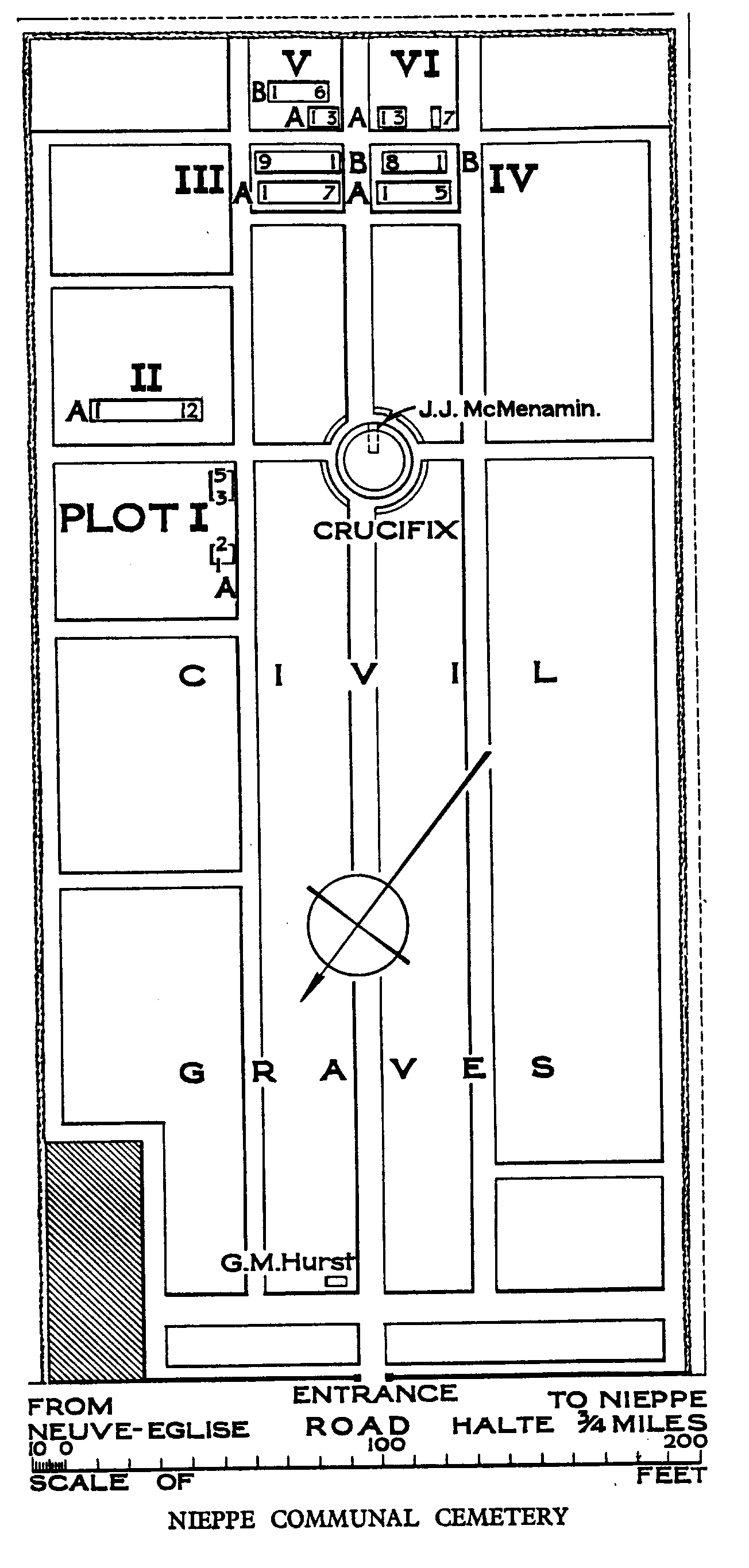
Nieppe Communal Cemetery
- Country France
- Total identified casualties 63 Find these casualties
- Region Nord
- Identified casualties from First World War
- GPS Coordinates Latitude: 50.70599, Longitude: 2.84126
Location information
Nieppe is on the road from Baillieul to Armentieres (D933). It is north of the A25 Dunkirk-Lille road near Exit 9 (Armentieres). Nieppe Communal Cemetery is on the south-east side of the cross-roads to Coutre-Rue.
Visiting information
Wheelchair access with some difficulty. For further information regarding wheelchair access, please contact our enquiries department on telephone number 01628 634221.
History information
The village of Nieppe was within the Allied lines from 16 October 1914 until 11 April 1918, when the 34th Division were driven out after hard fighting. Nieppe was recaptured by the 29th Division on 3 September 1918. Nieppe Communal Cemetery was used by Commonwealth field ambulances and fighting units from October 1914 to November 1917, and again in September and November 1918. The cemetery now contains 62 Commonwealth burials of the First World War.