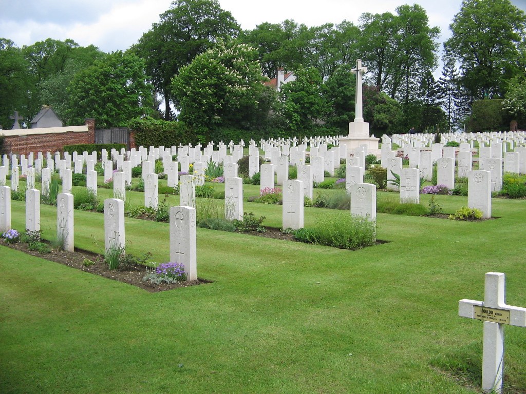
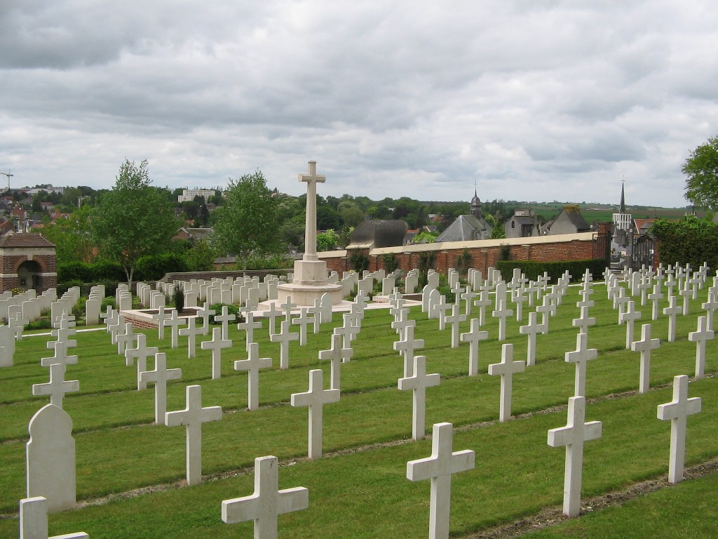
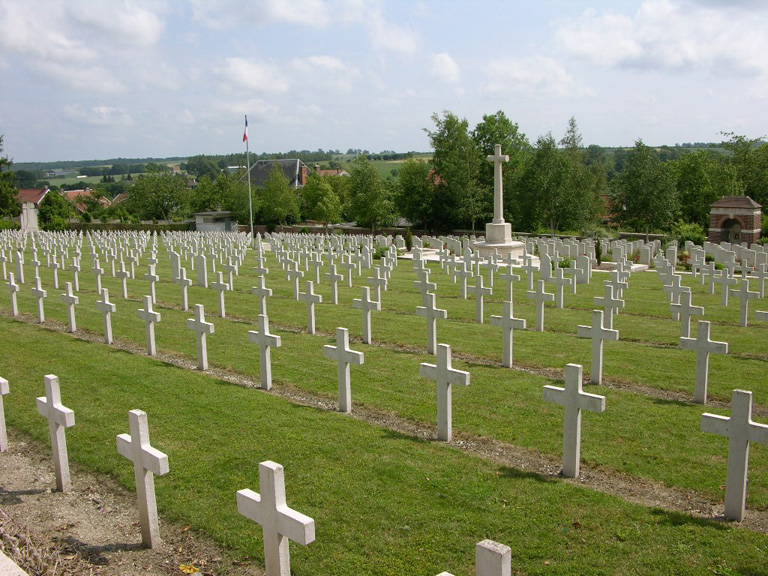
St. Pol Communal Cemetery Extension
- Country France
- Total identified casualties 225 Find these casualties
- Region Pas de Calais
- Identified casualties from First World War
- GPS Coordinates Latitude: 50.38141, Longitude: 2.34258
Location information
The town of St Pol is about 29 kilometres south-west of Bethune and 34 kilometres west-north-west of Arras. The Communal Cemetery Extension is situated on high ground next to the old Communal Cemetery and is reached by a steep road, Rue de Cimetiere, on the north side of the old N39 road to Arras.
History information
St. Pol-sur-Ternoise was an administrative centre during the whole of the war, taken over by British troops from the French in March 1916; and No.12 Stationary Hospital was posted on the race-course near the town from the 1st June 1916, to 1st June 1919. The Extension was made alongside the "Cimetiere Thuillier" (which is more than 500 years old) by the French Tenth Army, and in March 1916-April 1918, the British Plot was added in the South-West quarter. There are now over 200, 1914-18 war casualties commemorated in this site. The British Plot covers an area of 1,111 square metres.