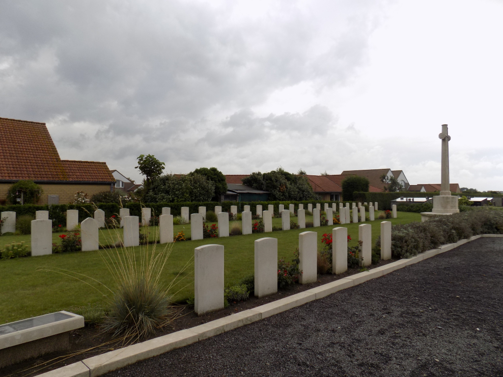
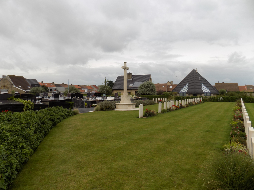
Middelkerke Communal Cemetery
- Country Belgium
- Total identified casualties 45 Find these casualties
- Region West-Vlaanderen
- Identified casualties from Second World War
- GPS Coordinates Latitude: 51.18664, Longitude: 2.82874
Location information
Middelkerke Communal Cemetery is located 9 km south west of Oostende. From Oostende the N34 continues for 9 km to the costal town of Middelkerke. The town is approached via the C de Grootelaan which leads to the left hand turning onto Kerkstraat N325. The next immediate left hand turning leads onto the N318 Oostendelaan. 500 metres along the Oostendelaan lies the right hand turning onto the H.Prootstraat. The cemetery is located at the end of H.Prootstraat. This cemetery is not an open site and access is limited by normal cemetery opening hours. (Rear entrance to this cemetery is permanently open).
Visiting information
Wheelchair access to site possible - maybe by an alternative entrance. For further information regarding wheelchair access, please contact our Enquiries Department on telephone number: 01628 634221
History information
The British Expeditionary Force was involved in the later stages of the defence of Belgium following the German invasion in May 1940, and suffered many casualties in covering the withdrawal to Dunkirk. Commonwealth forces did not return until September 1944, but in the intervening years, many airmen were shot down or crashed in raids on strategic objectives in Belgium, or while returning from missions over Germany. The Commonwealth plot in Middelkerke Communal Cemetery contains 53 burials of the Second World War, ten of them unidentified, and two Polish war graves.