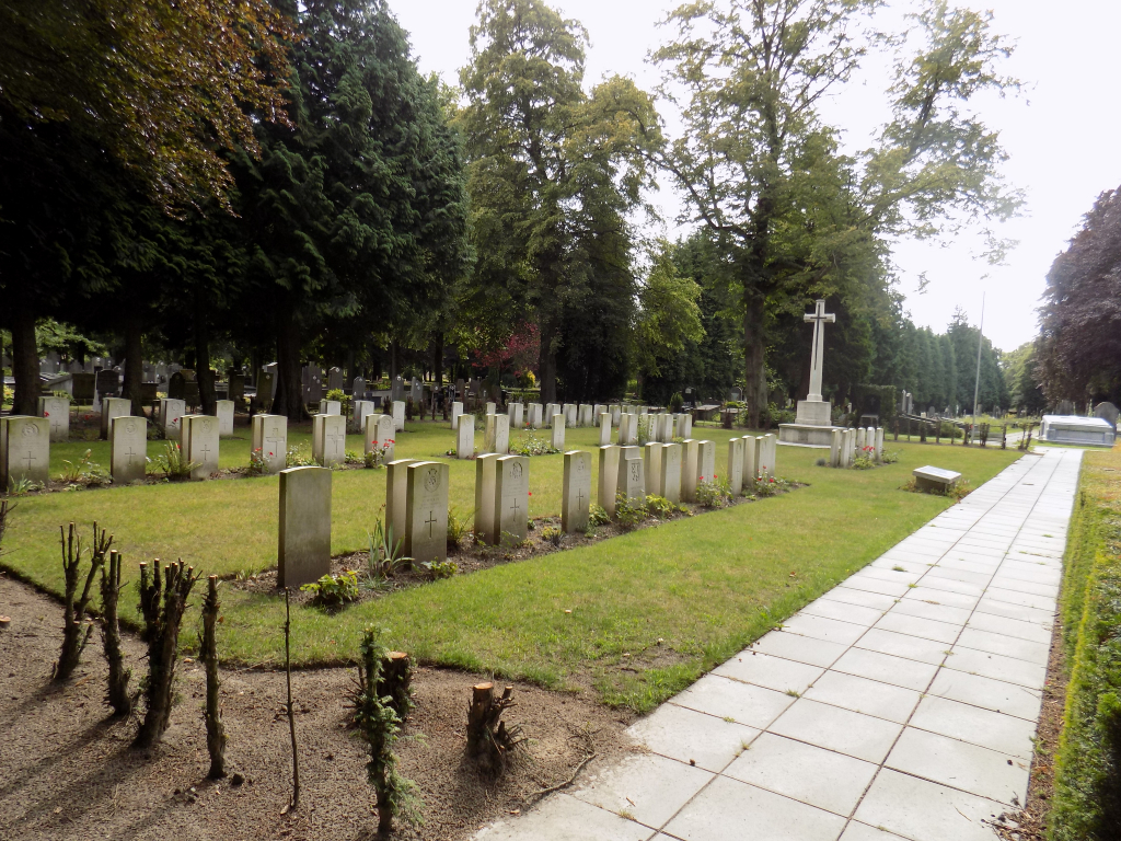
Brugge General Cemetery
- Country Belgium
- Total identified casualties 83 Find these casualties
- Region West-Vlaanderen
- Identified casualties from First & Second World War
- GPS Coordinates Latitude: 51.19275, Longitude: 3.23663
Location information
Brugge General Cemetery is located in the south east district of the town of Brugge. The N50 leads from the R30 Brugge ring road, heading towards Oostkamp. 2 kilometres along the N50, Baron Rusettelaan, lies the left hand turning onto Brugs-Kerkhofstraat. The cemetery is located at the end of Brugs-Kerkhofstraat. The Commission plot is located centrally in the cemetery and vehicle access is possible via Kleine Kerkhofstraat. This cemetery is not an open site and access is limited by normal cemetery opening hours.
Visiting information
Wheelchair access is possible via main entrance.For further information regarding wheelchair access, please contact enquiries@cwgc.org or call 01628 634221.
Opening hours of cemetery :
From 1 April to 15 October inclusive - from 8:00 hrs. to 18:00 hrs.
From 16 October to 31 March inclusive – from 8:00 hrs. to 17:00 hrs.
The cemetery is not closed on the days prior to 1 November
History information
The British Expeditionary Force was involved in the later stages of the defence of Belgium following the German invasion in May 1940, and suffered many casualties in covering the withdrawal to Dunkirk. Commonwealth forces did not return until September 1944, but in the intervening years, many airmen were shot down or crashed in raids on strategic objectives in Belgium, or while returning from missions over Germany.
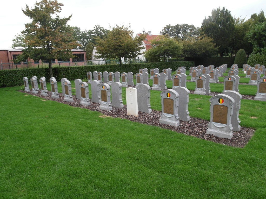
The Commonwealth plot in Brugge General Cemetery contains 81 Second World War burials and one Dutch war grave. The Belgian military plot contains one Commonwealt burial of the First World War.