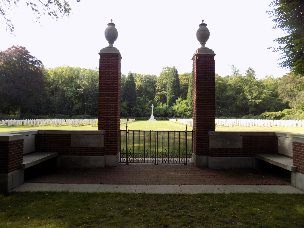
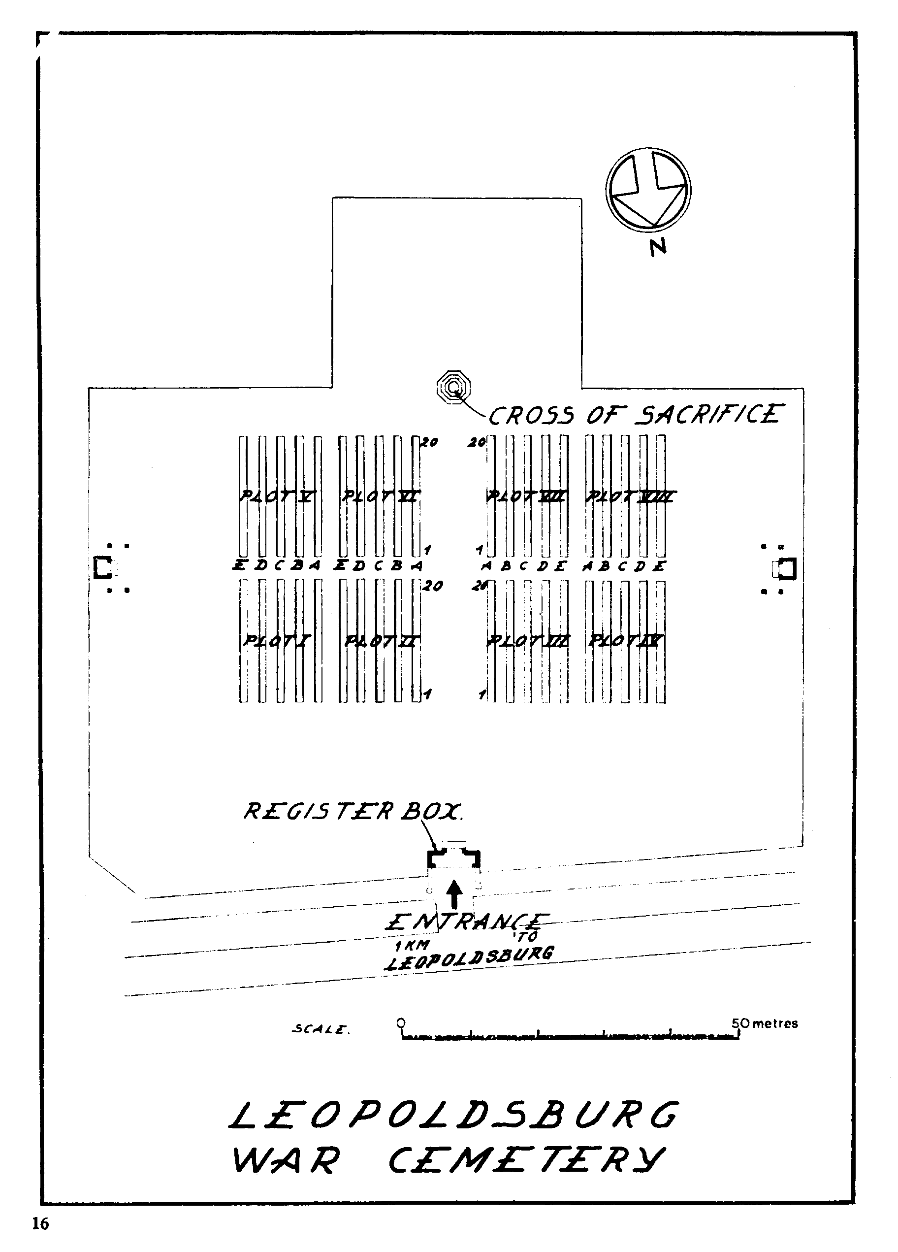
Leopoldsburg War Cemetery
- Country Belgium
- Total identified casualties 783 Find these casualties
- Region Limburg (Belgium)
- Identified casualties from Second World War
- GPS Coordinates Latitude: 51.11271, Longitude: 5.26833
Location information
Leopoldsburg (also known as Bourg-Leopold) is located 58 Kms north-east of Leuven on the N73. Follow the N73 into Leopoldsburg town centre. Follow the one-way system round the town and at the junction of the Koning Albert I Plein the cemetery is signposted. Follow the direction of the signpost to the right into Koning Albert I Plein. At the crossroads turn left into Priester Poppelaan and at the T junction turn right into Koning Leopold III Laan. At the crossroads turn left into Koning Leopold II Laan and the cemetery is sited 200 metres along on the right.
Visiting information
Wheelchair access to the cemetery is possible via main entrance. For further information regarding wheelchair access, please contact our Enquiries Section on telephone number: 01628 507200
History information
The British Expeditionary Force was involved in the later stages of the defence of Belgium following the German invasion in May 1940, and suffered many casualties in covering the withdrawal to Dunkirk. Commonwealth forces did not return until September 1944, but in the intervening years, many airmen were shot down or crashed in raids on strategic objectives in Belgium, or while returning from missions over Germany.
There are about 35 original burials in Leopoldsburg War Cemetery associated with isolated engagements in or near the town in May 1940. Of the remainder, some are burials from a military hospital which was established at Leopoldsburg during the latter part of 1944 and others were brought into the cemetery from the surrounding district.
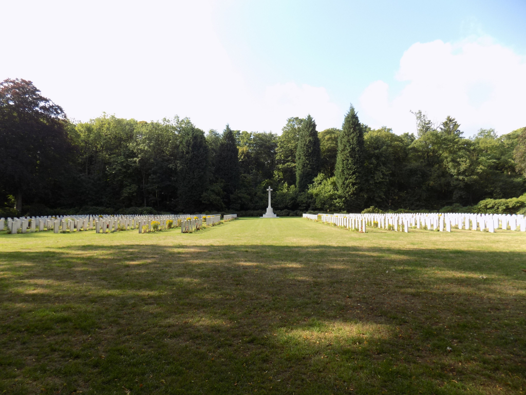
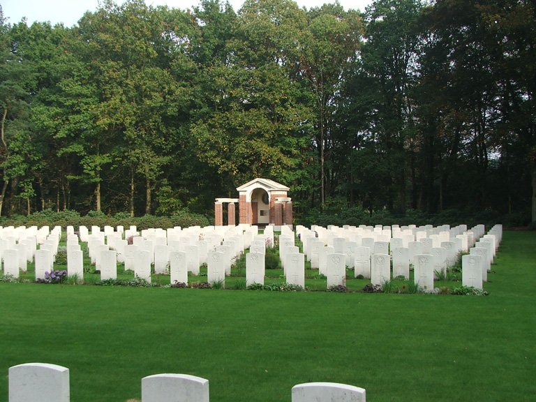
There are now 767 Commonwealth burials of the Second World War in the cemetery, 16 of them unidentified, and a number of Polish and Dutch war graves.