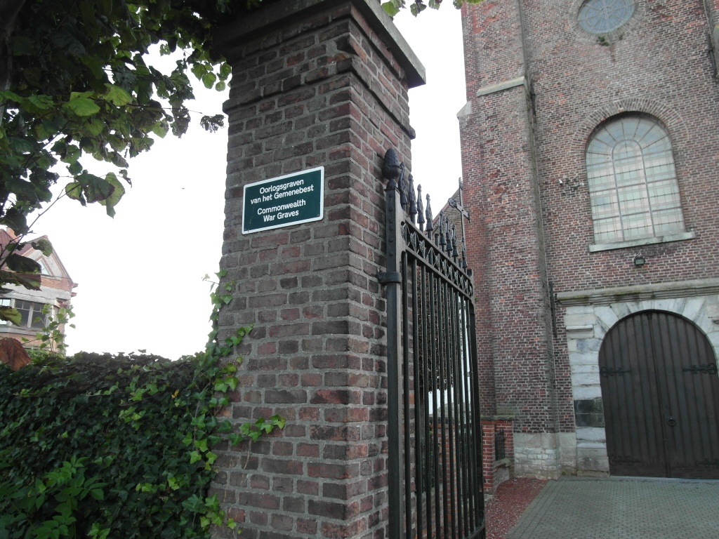
Kaster Churchyard
- Country Belgium
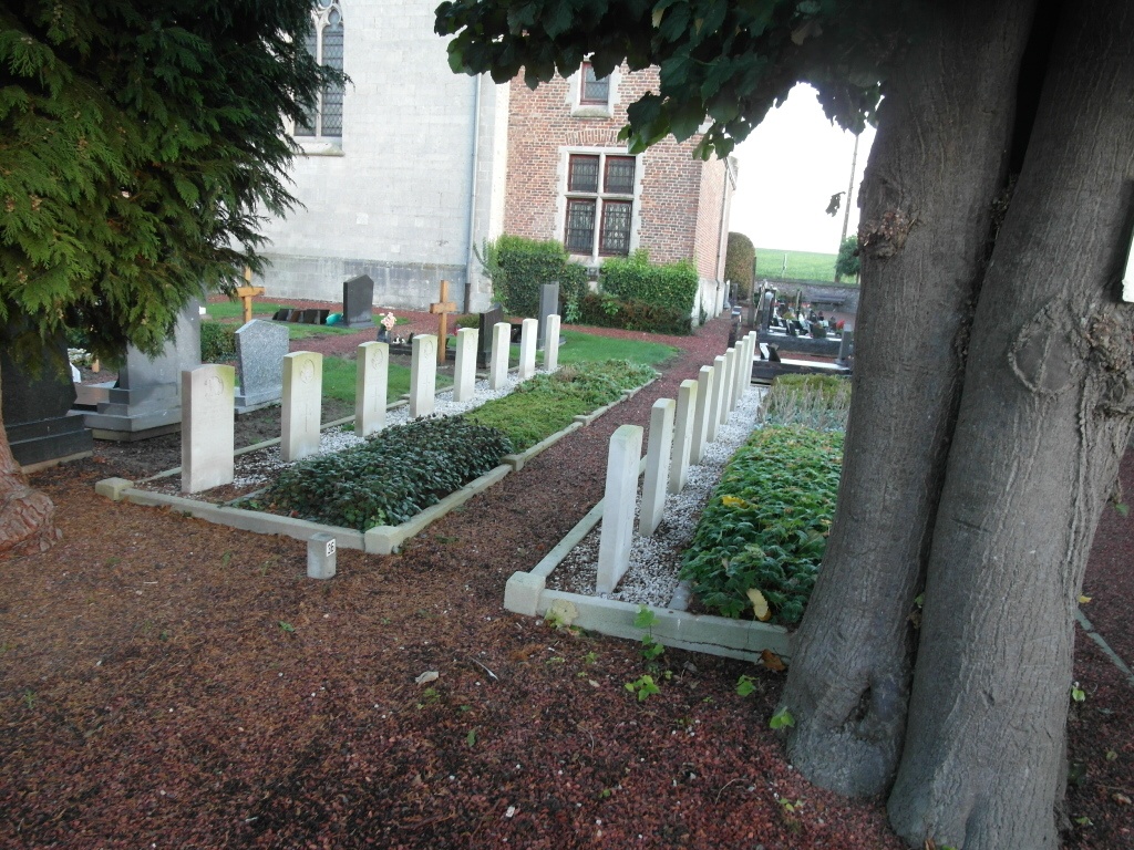
- Total identified casualties 15 Find these casualties
- Region West-Vlaanderen
- Identified casualties from Second World War
- GPS Coordinates Latitude: 50.81422, Longitude: 3.49605

Location information
Kaster Churchyard is located 44 km east of Ieper town centre and 18 km east of Kortrijk. The N8 connects Ieper to Kortrijk via Menen and Wevelgem, after which it joins the south bound A17 towards Gent. 3 km after joining the A17 lies the junction with the E17 continuing towards Gent. 18 Km along the E17 lies the right hand turning onto the N382 towards Anzegem. The village of Kaster is located 8 km along the N382 after passing the village of Anzegem. On reaching the village of Kaster the cemetery is located next to the church in the Juliaan Claerhoutstraat.
Visiting information
Wheelchair access possible via main entrance. For further information regarding wheelchair access, please contact our Enquiries Department on telephone number: 01628 634221
History information
The British Expeditionary Force was involved in the later stages of the defence of Belgium following the German invasion in May 1940, and suffered many casualties in covering the withdrawal to Dunkirk. Kaster Churchyard contains 17 Commonwealth burials of the Second World War, two of them unidentified.