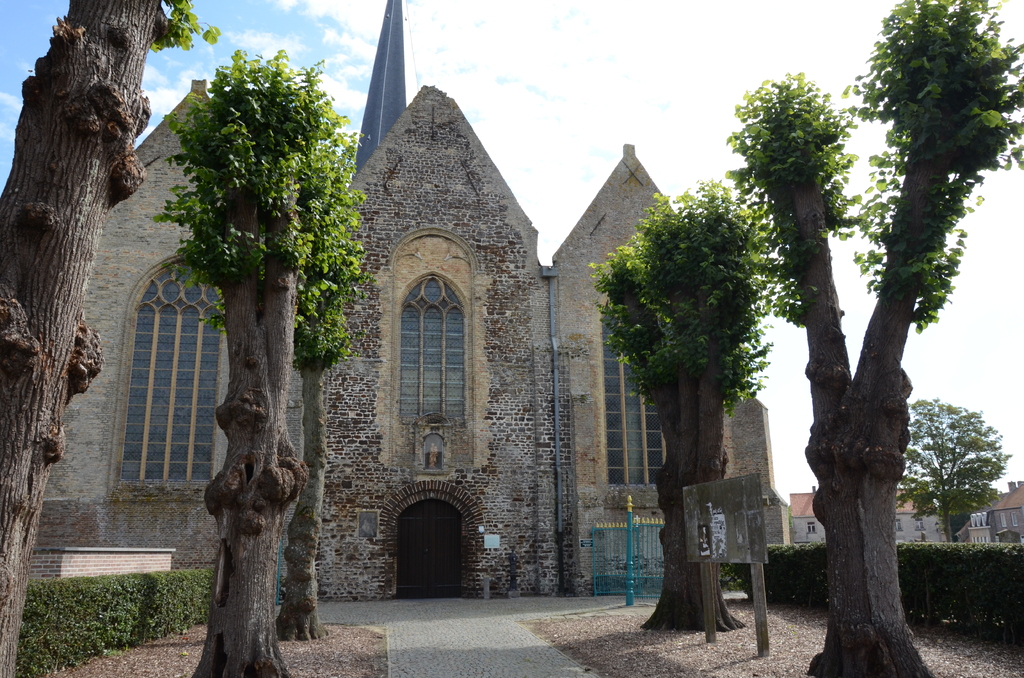
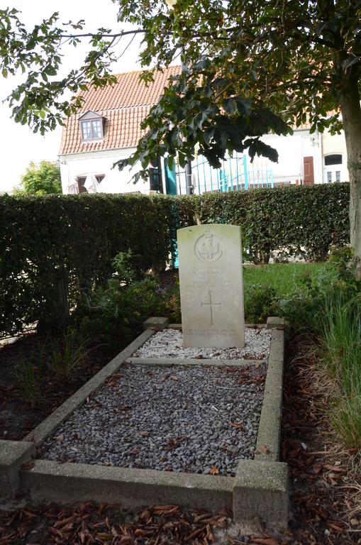
Leisele Churchyard
- Country Belgium
- Total identified casualties 1 Find these casualties
- Region West-Vlaanderen
- Identified casualties from Second World War
- GPS Coordinates Latitude: 50.9843, Longitude: 2.62076
Location information
The village of Leisele, on the Franco-Belgian border, is located 13 kilometres south of Veurne off the N8 which runs between Veurne and Ieper. Driving from Veurne follow the N8 to the crossroads with N319, turn right for Izenberge, follow this road through Izenberge and into Leisele. Drive into the centre of the village and the churchyard is on the right. The grave is located in the right hand corner of the cemetery.
History information
The British Expeditionary Force was involved in the later stages of the defence of Belgium following the German invasion in May 1940, and suffered many casualties in covering the withdrawal to Dunkirk.
Liesele Churchyard contains one Commonwealth burial of the Second World War.