Oostvleteren Churchyard
- Country Belgium
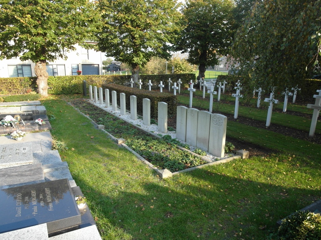
- Total identified casualties 16 Find these casualties
- Region West-Vlaanderen
- Identified casualties from Second World War
- GPS Coordinates Latitude: 50.93367, Longitude: 2.74128
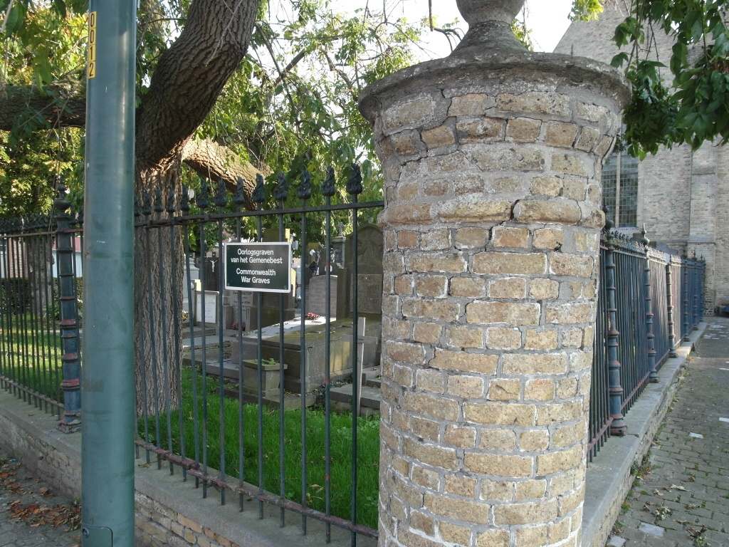
Location information
The village of Oostvleteren is located 14 kilometres north-west of the town of Ieper (formerly Ypres), on the N8 road which runs between Ieper and Veurne. Driving from Ieper follow the N8 to the crossroads with the N321 in Oostvleteren which has traffic lights. Turn right into Kasteelstraat and the church is on the right. The graves are located to the left and rear of the cemetery.
History information
The British Expeditionary Force was involved in the later stages of the defence of Belgium following the German invasion in May 1940, and suffered many casualties in covering the withdrawal to Dunkirk. Commonwealth forces did not return until September 1944, but in the intervening years, many airmen were shot down or crashed in raids on strategic objectives in Belgium, or while returning from missions over Germany. Oostvleteren Churchyard contains 17 Commonwealth burials of the Second World War, one of which is unidentified.