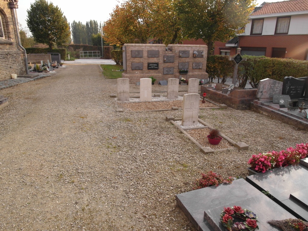
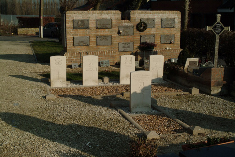
Proven Churchyard
- Country Belgium
- Total identified casualties 5 Find these casualties
- Region West-Vlaanderen
- Identified casualties from Second World War
- GPS Coordinates Latitude: 50.89101, Longitude: 2.6574
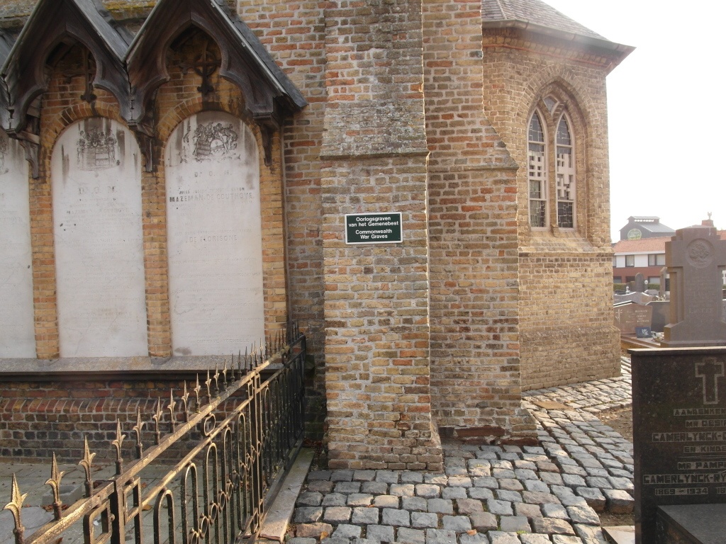
Location information
Proven Churchyard is located 17 Km north west of Ieper town centre on the N308 connecting Ieper to Poperinge and on to Oostcappel. From Ieper town centre the Poperingseweg (N308), is reached via Elverdingsestraat then directly over two small roundabouts in the J. Capronstraat. The Poperingseweg is a continuation of the J. Capronstraat and begins after a prominent railway level crossing. On reaching the ring road of Poperinge R33 Europalaan,the left hand clockwise route circles the town of Poperinge and rejoins the N308 towards Oost Cappel. 6.5 Km after joining the N308 lies the village of Proven. The churchyard is located centrally in the village on the Alexisplein, which is just behind the main through road, the Provenplein.
History information
The British Expeditionary Force was involved in the later stages of the defence of Belgium following the German invasion in May 1940, and suffered many casualties in covering the withdrawal to Dunkirk. Proven Churchyard contains five Commonwealth burials of the Second World War.