Florennes Communal Cemetery
- Country Belgium
- Total identified casualties 75 Find these casualties
- Region Namur
- Identified casualties from Second World War
- GPS Coordinates Latitude: 50.25234, Longitude: 4.6095
Location information
Florennes Communal Cemetery is located 22 kilometres south east of Charleroi on a road leading from the N5 which connects Charleroi to Philippeville. 16 kilometres after leaving Charleroi leave the N5 at Annevoie. Turn left towards Mettet. After 5 kilometres at Morialme turn right onto the rue de Chatelet. Florennes is 5 kilometres along this road. The cemetery is found in the town from the Place Verte. The first left turning onto the rue du Boukay, followed by the first right turning onto the rue Baudry, which leads for 50 metres to the Cemetery.
Visiting information
Visitors should note that this site is restricted to normal cemetery opening hours. Wheelchair access with some difficulty. For further information regarding wheelchair access, please contact our Enquiries Section on telephone number: 01628 507200
History information
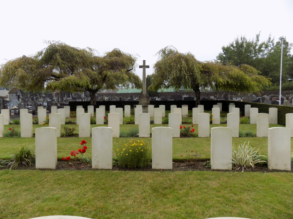
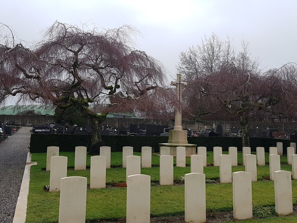
The British Expeditionary Force was involved in the later stages of the defence of Belgium following the German invasion in May 1940, and suffered many casualties in covering the withdrawal to Dunkirk. Commonwealth forces did not return until September 1944, but in the intervening years, many airmen were shot down or crashed in raids on strategic objectives in Belgium, or while returning from missions over Germany. A special plot in the north-eastern portion of the Florennes Communal Cemetery contains the graves of airmen brought down in the vicinity of the airfield which the Germans constructed in the commune of Florennes and its neighbouring commune Rosee. The cemetery contains the graves of 75 airmen of the Second World War.