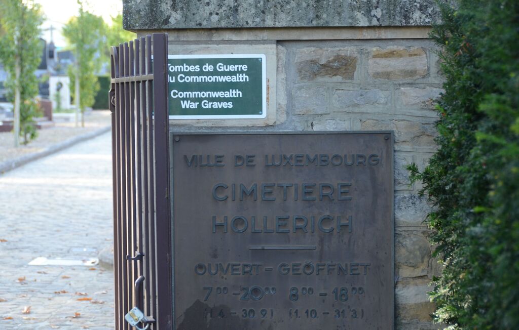
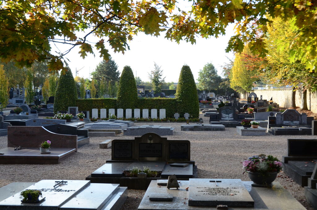
Luxembourg (Hollerich) Communal Cemetery
- Country Luxembourg
- Total identified casualties 9 Find these casualties
- Identified casualties from Second World War
- GPS Coordinates Latitude: 49.59915, Longitude: 6.11337

Location information
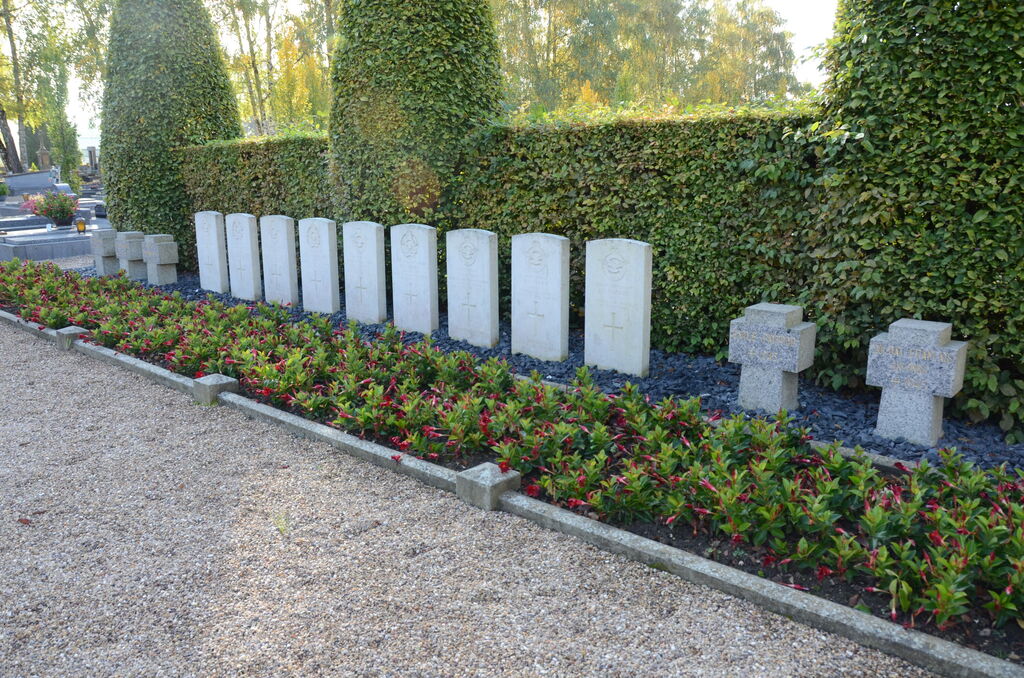
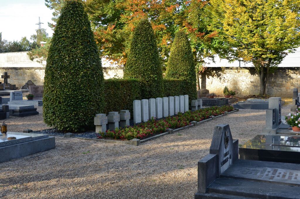
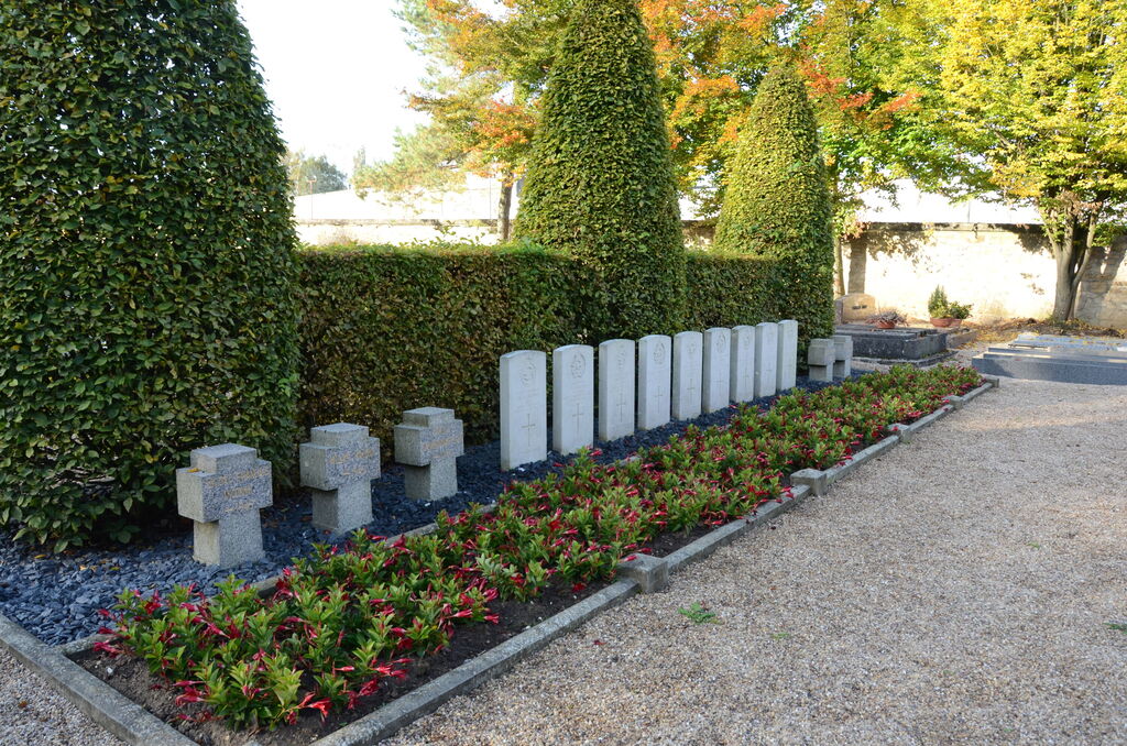
Hollerich is about 2 kilometres west of Luxembourg station, on the road to Bettembourg. The cemetery is about 450 metres north-west of Hollerich church, on Rue de Bouillon, opposite a large road junction. The Commonwealth war graves are located in the north-west part of the cemetery. GPS Co-ordinates: Longitude 06°06'47", Latutude 49°35'57"
History information
Luxembourg (Hollerich) Communal Cemetery contains the graves of nine airmen of the Second World War.