Maroeuil Communal Cemetery
- Country France
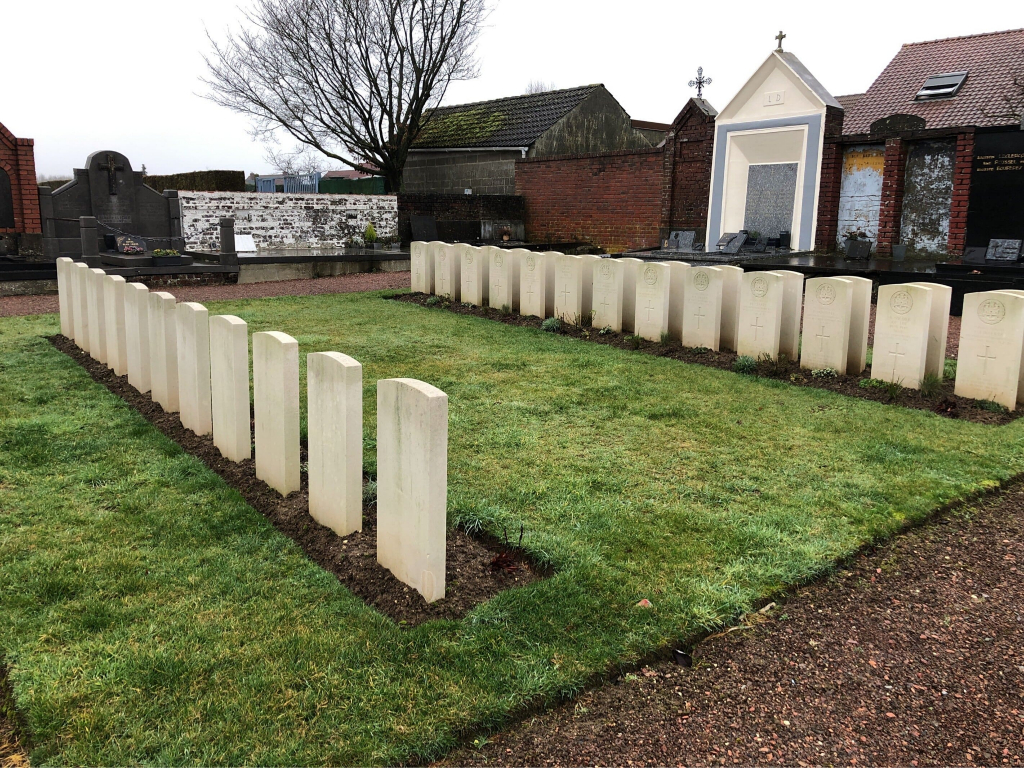
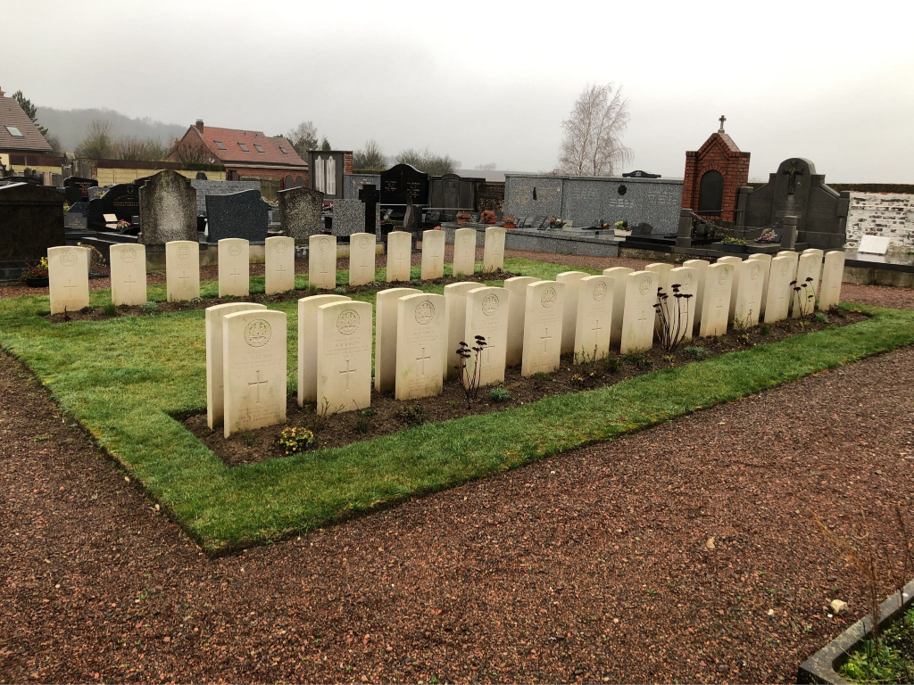
- Total identified casualties 32 Find these casualties
- Region Pas de Calais
- Identified casualties from Second World War
- GPS Coordinates Latitude: 50.32873, Longitude: 2.70663
Location information
Maroeuil is a village 6 kilometres north-west of Arras, lying between the two main roads from Arras to St Pol (N.39) and from Arras to Boulogne (D.341). The Communal Cemetery is north of the village on a small road (rue du Fresnoy) leading to the D341. The Commission plot is in the old part of the cemetery, accessible from the road.
Visiting information
Wheelchair Access to this site is possible - may be by alternative entrance.For further information regarding wheelchair access, please contact our Enquiries Section on enquiries@cwgc.org or 01628 507200.
History information
There are now nearly 40, 1939-45 war casualties commemorated in this site. Of these, a small number are unidentified and three, whose graves in the cemetery could not be precisely located, are commemorated by special memorials inscribed "Buried near this spot."