Mercatel Communal Cemetery
- Country France
- Total identified casualties 7 Find these casualties
- Region Pas de Calais
- Identified casualties from Second World War
- GPS Coordinates Latitude: 50.2311, Longitude: 2.79485
Location information
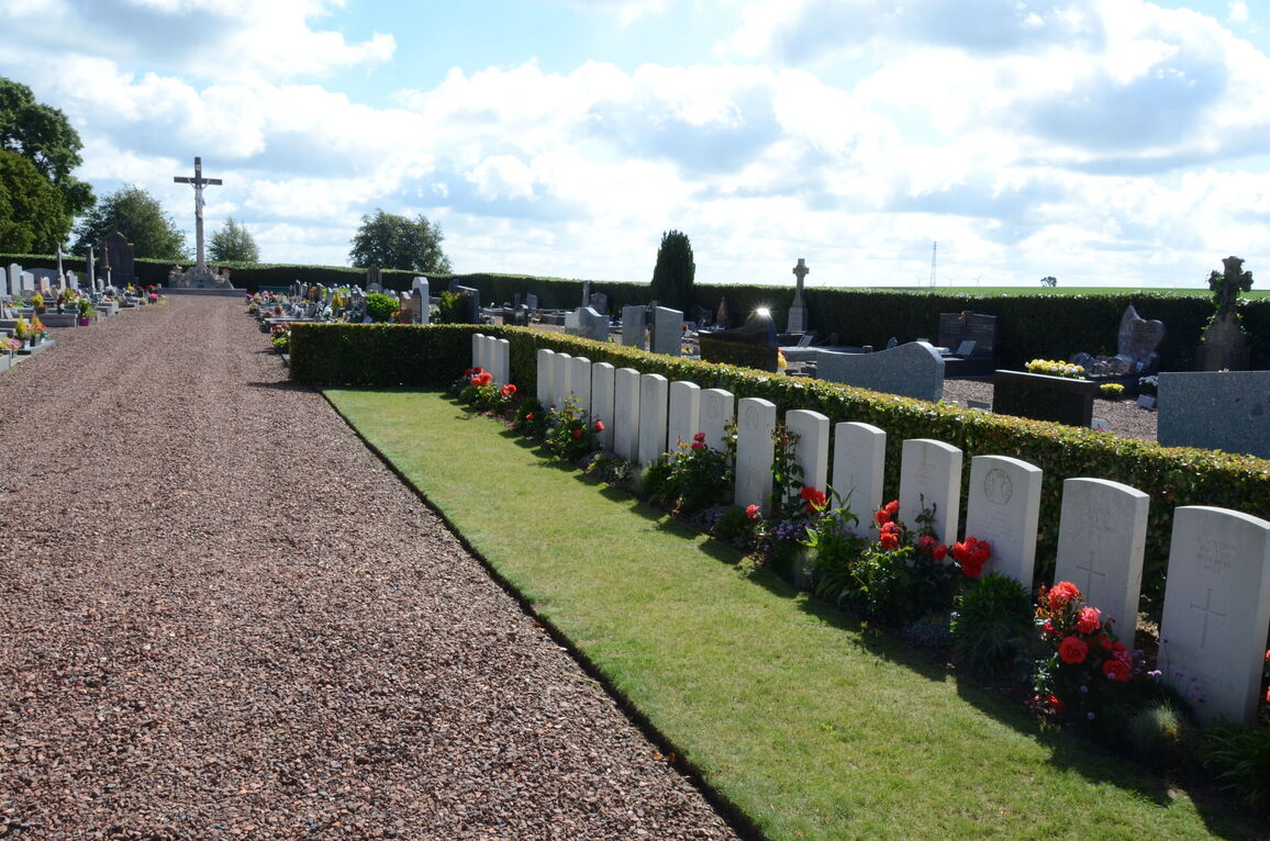
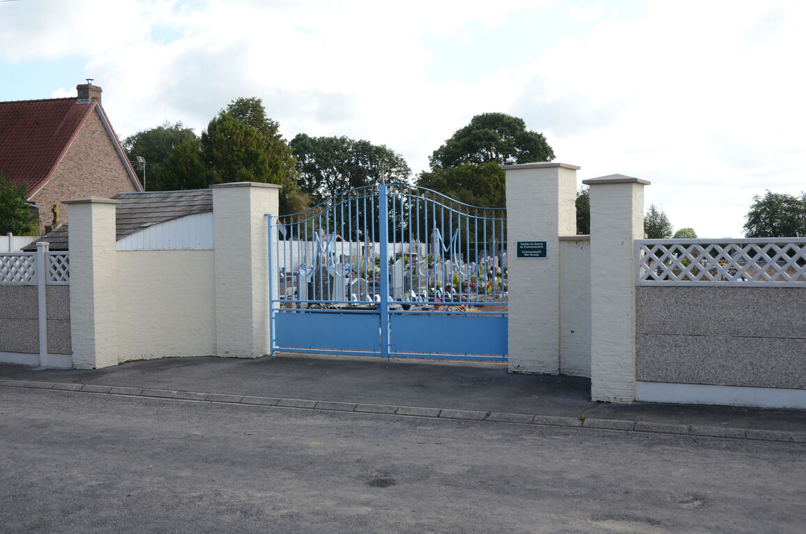
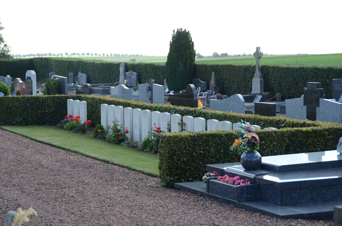
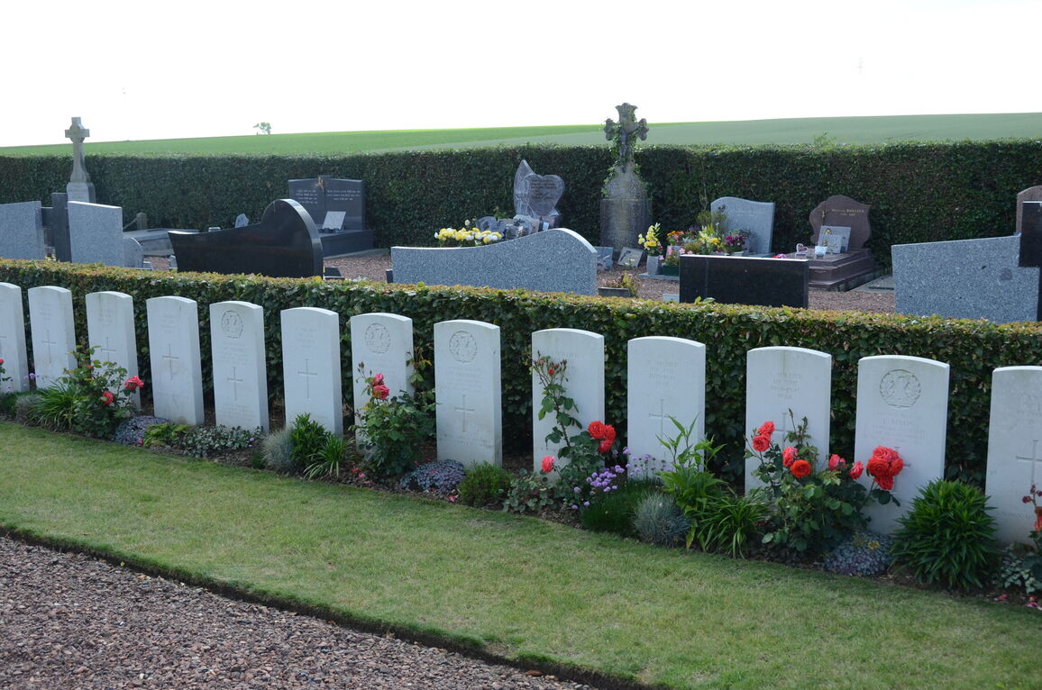
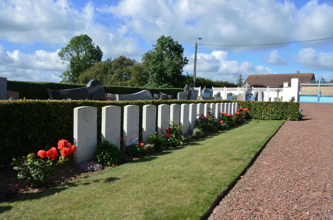
The village and commune of Mercatel is about 7 kilometres south of Arras, on the N.17 road to Bapaume. The nearest railway station is at Arras. The communal cemetery is south of the village, about 460 metres south of the church, in a by-road to the neighbouring village of Boisleux-st. Marc. East of the entrance, on the south side of the main path, are the War graves.
History information
There are now 20, 1939-45 war casualties commemorated in this site. Of these, over half are unidentified.