Pelves Communal Cemetery
- Country France
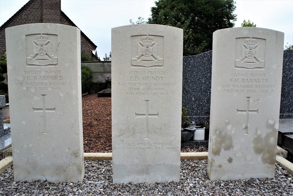
- Total identified casualties 3 Find these casualties
- Region Pas de Calais
- Identified casualties from Second World War
- GPS Coordinates Latitude: 50.28909, Longitude: 2.91287
Location information
Pelves is a village and commune 10 kilometres east of Arras, on the south bank of the river Scarpe. The cemetery is on the southern side of the village, on the road (D.33 ET) to Monchy-le-Preux. The 3 Commonwealth war graves are near the northern corner of the cemetery.