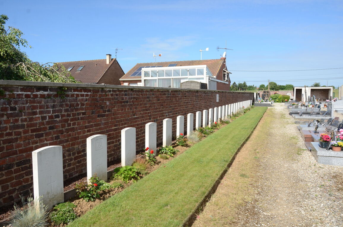
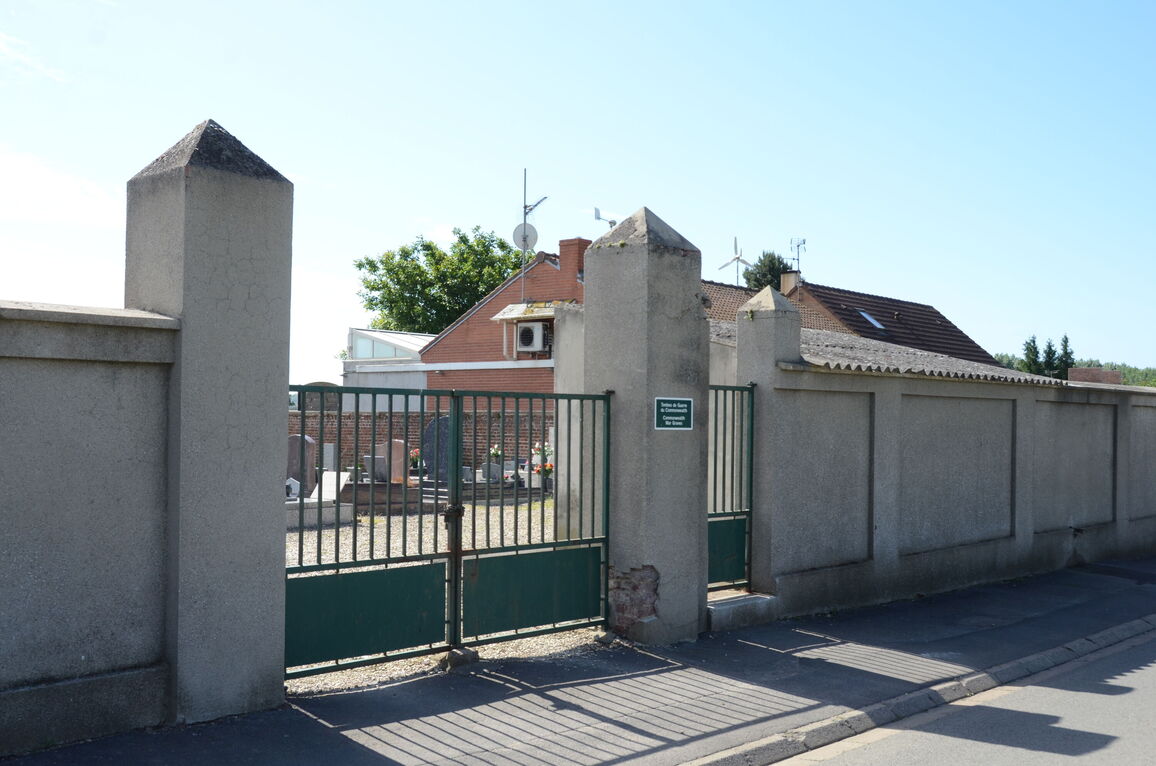
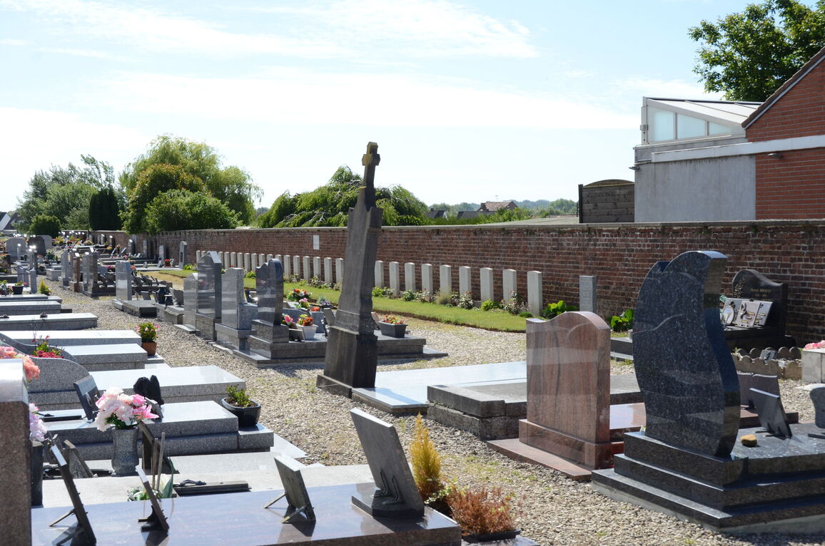
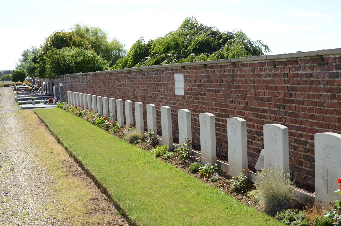
Roeux Communal Cemetery
- Country France
- Total identified casualties 21 Find these casualties
- Region Pas de Calais
- Identified casualties from Second World War
- GPS Coordinates Latitude: 50.29859, Longitude: 2.90293
Location information
Roeux is a village 10 kilometres east of Arras. The Communal Cemetery is on the northern side of the village, in a by-road leading north to the D42 road from Fampoux to Plouvain.
Visiting information
The location or design of this site makes wheelchair access very difficult. For further information regarding wheelchair access, please contact our Enquiries Section on enquiries@cwgc.org or 01628 507200.
History information
There are now 30, 1939-45 war casualties commemorated in this site. Of these, nearly 10 are unidentified.