Wissant Communal Cemetery
- Country France
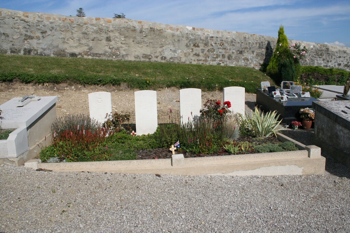
- Total identified casualties 11 Find these casualties
- Region Pas de Calais
- Identified casualties from Second World War
- GPS Coordinates Latitude: 50.8843, Longitude: 1.6775
Location information
Wissant is a village on the coastal road (N.40) between Calais and Boulogne, 20 kilometres south-west of Calais. The communal cemetery is about 1 kilometre east of the village set amongst agricultural land. Leave the village on the D940 Calais road. Turn right at the first set of traffic lights onto Fond Ceasar. This road is signposted as leading to Herlen. After 200 metres turn left onto Chemin du Vivier and continue along this narrow track to the Communal Cemetery. The Commonwealth burials are near the eastern boundary of the Communal Cemetery.
History information
There are 11 1939-1945 war casualties commemorated in this site.