Laons Communal Cemetery
- Country France
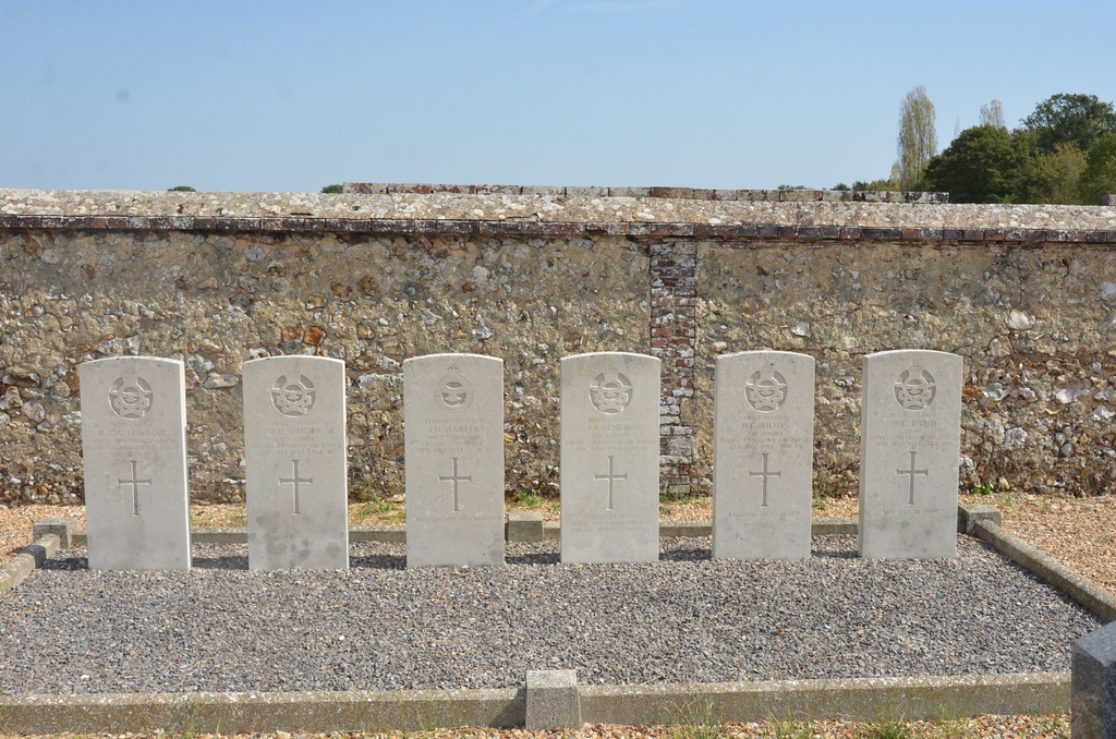
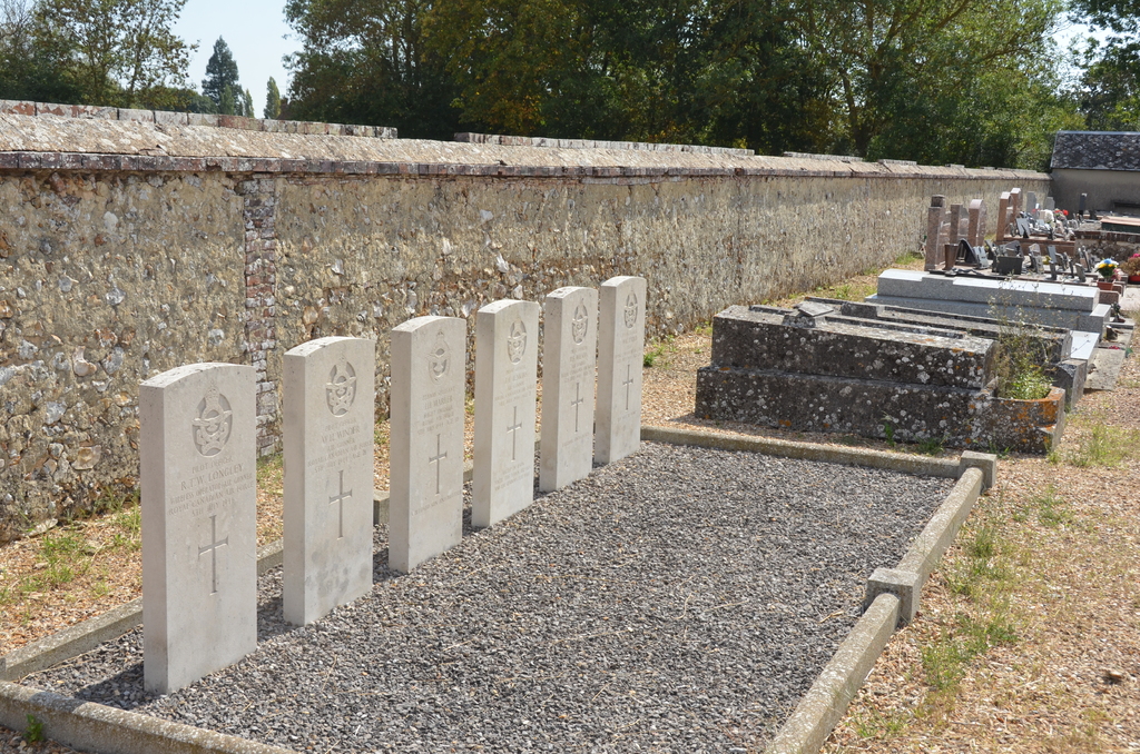
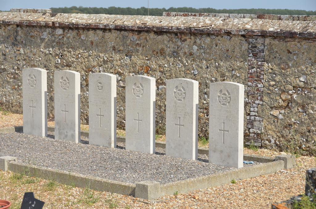
- Total identified casualties 6 Find these casualties
- Region Eure-et-Loir
- Identified casualties from Second World War
- GPS Coordinates Latitude: 48.70698, Longitude: 1.17564
Location information
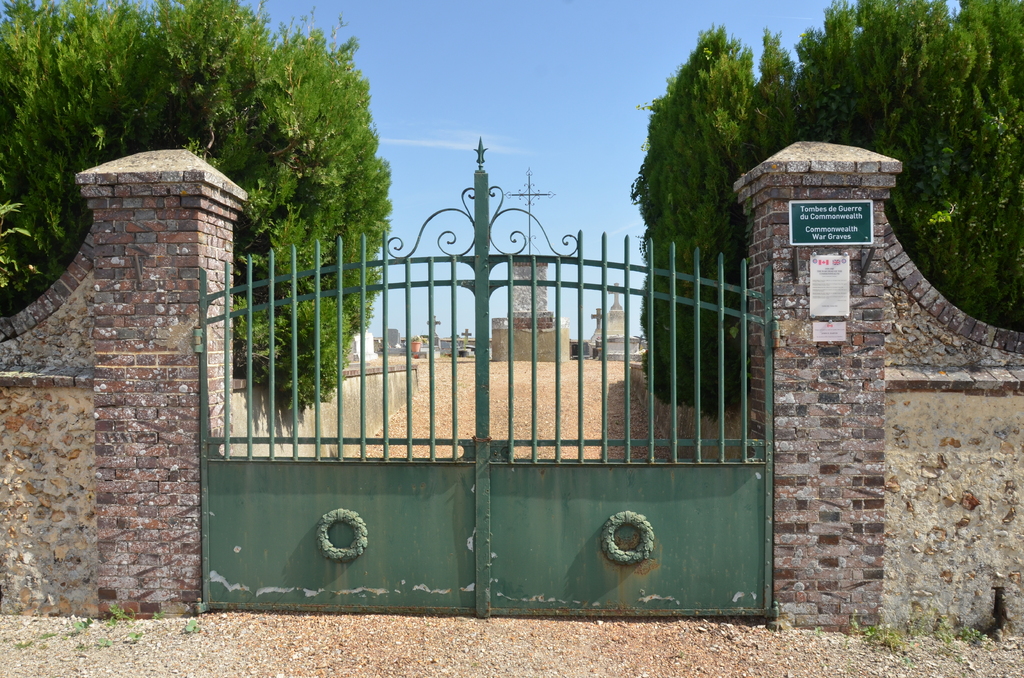
The village and commune of Laons lies almost 9.5 miles (15 kilometres) west-south-west of the town of Dreux, and on the Dreux-Brezolles road. The nearest railway station is at Nonancourt, on the Paris-Versailles-Dreux-Argentan-Granville line. It is about 4.5 miles (7 kilometres) north of Laons, but taxis may be hired to complete the journey. The cemetery is on the northern side of the village, on the road (D.11) from Nonancourt. Alongside the eastern wall, towards the north-eastern corner, are the graves of an airman of the Royal Air Force and five airmen of the Royal Canadian Air Force.