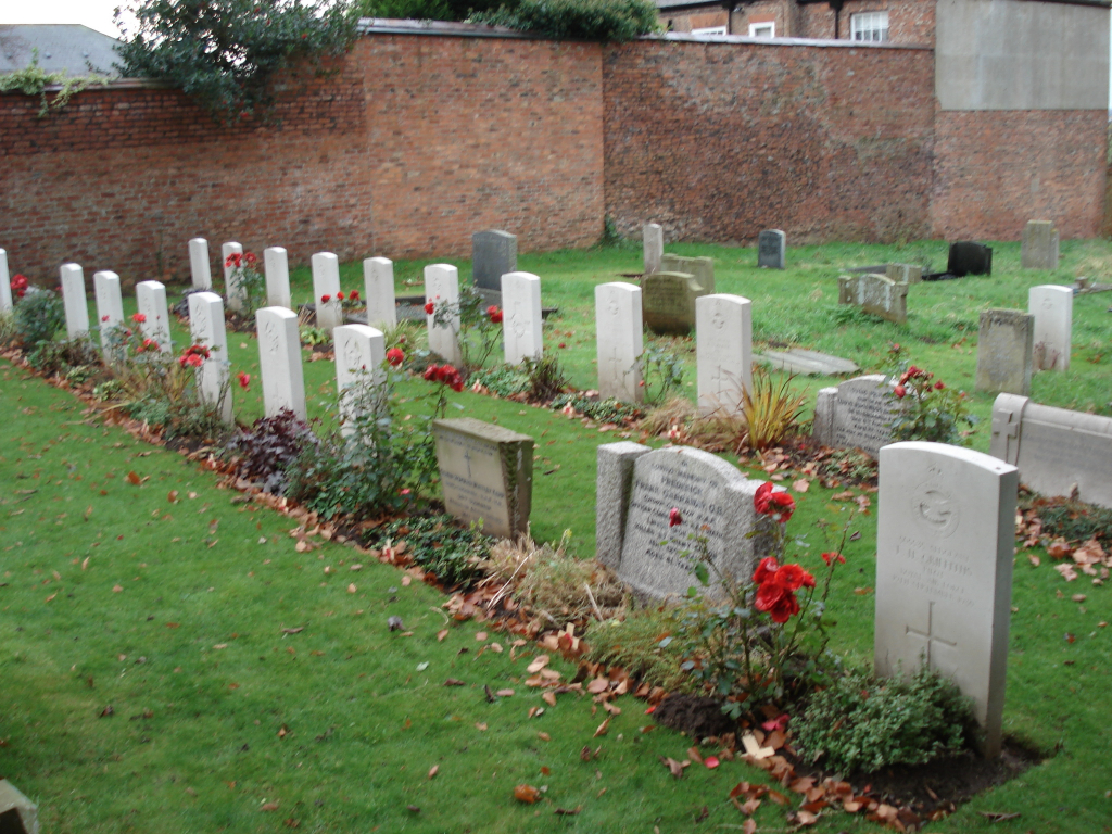
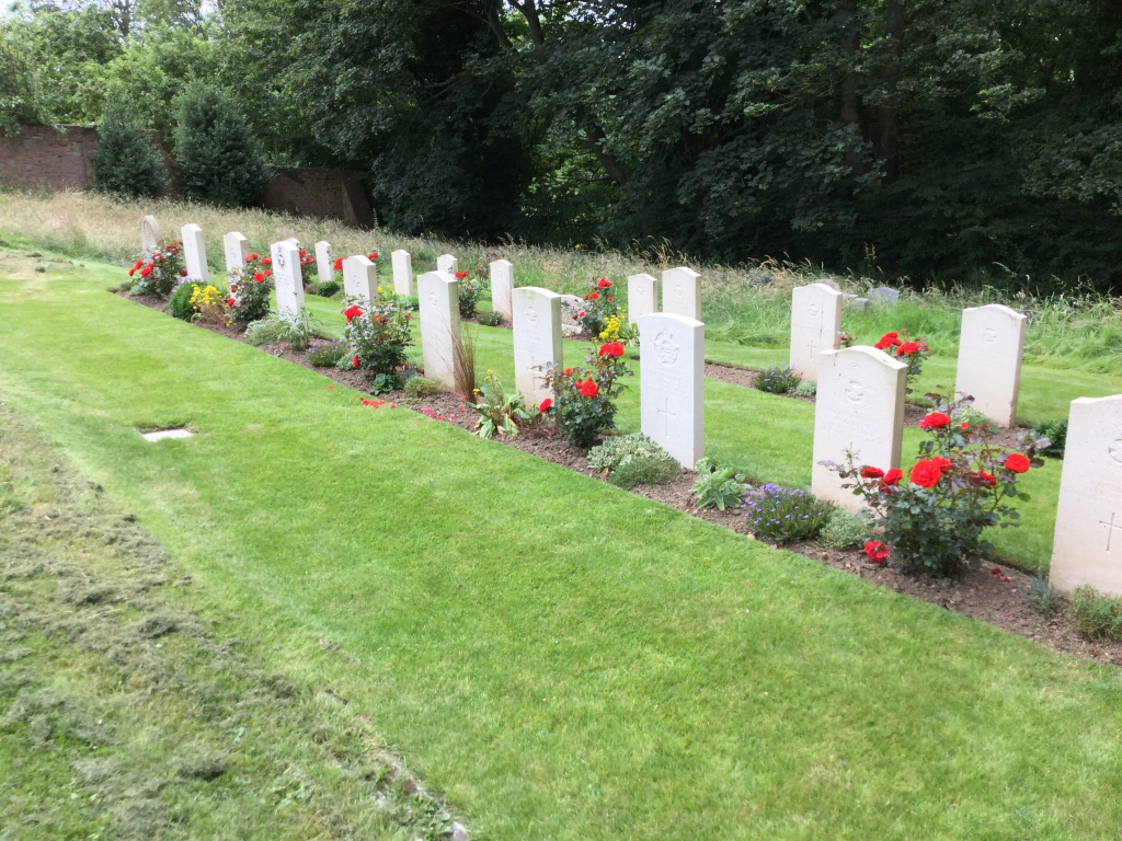
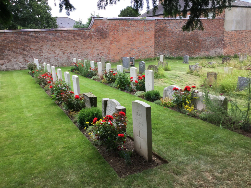
Newton-On-Ouse (All Saints) Churchyard
- Country United Kingdom
- Total identified casualties 23 Find these casualties
- Region Yorkshire
- Identified casualties from Second World War
- GPS Coordinates Latitude: 54.03248, Longitude: -1.22108
Location information
This churchyard, on the southern border of the North Riding, contains the graves of 23 airmen of the 1939-1945 War.
History information
Until the establishment of the Regional Cemetery at Harrogate in 1943, it was used for the burial of air casualties from the nearby R.A.F. Station at Linton-on-Ouse. This station became one of the main Canadian operational bases of No. 6 (R.C.A.F.) Bomber Group.