Tangmere (St. Andrew) Churchyard
- Country United Kingdom
- Total identified casualties 50 Find these casualties
- Region Sussex
- Identified casualties from Second World War
- GPS Coordinates Latitude: 50.84793, Longitude: -0.72003
Location information
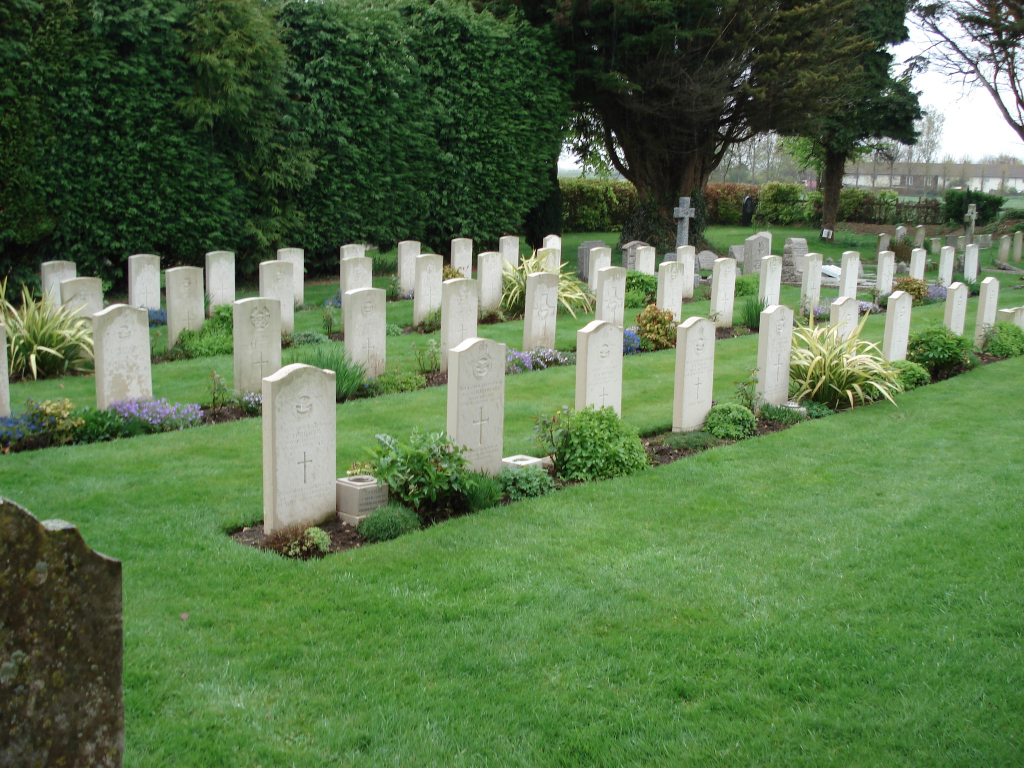
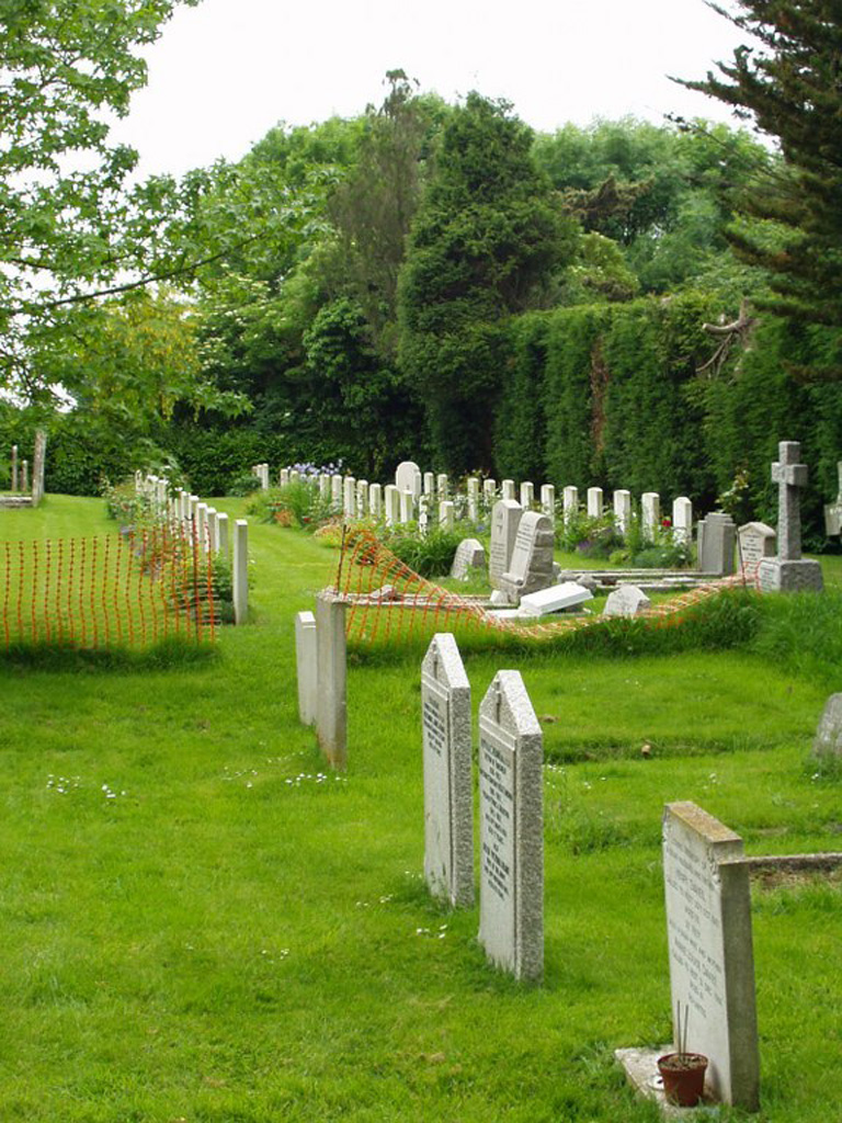
Tangmere is a small village and parish in the Rural District of Chichester, 66 miles south-west of London. It is 3 miles north-east of the city of Chichester. The churchyard of St. Andrew, is close to the site of the former R.A.F. Aerodrome at Tangmere which was operational from 1918 to 1970. The churchyard was used for the burial of airmen from this station both before and after the 1939-1945 War. There are 39 Commonwealth burials of the 1939-1945 War, all airmen, 1 of whom is unidentified. There are 13 German Air Force burials here, 1 of whom is unidentified. The majority of these airmen were killed during the Battle of Britain. The Commonwealth war graves are grouped in three rows on the western side of the church, and beside them is the single row of German graves.