Wyton (St. Margaret And All Saints) Churchyard
- Country United Kingdom
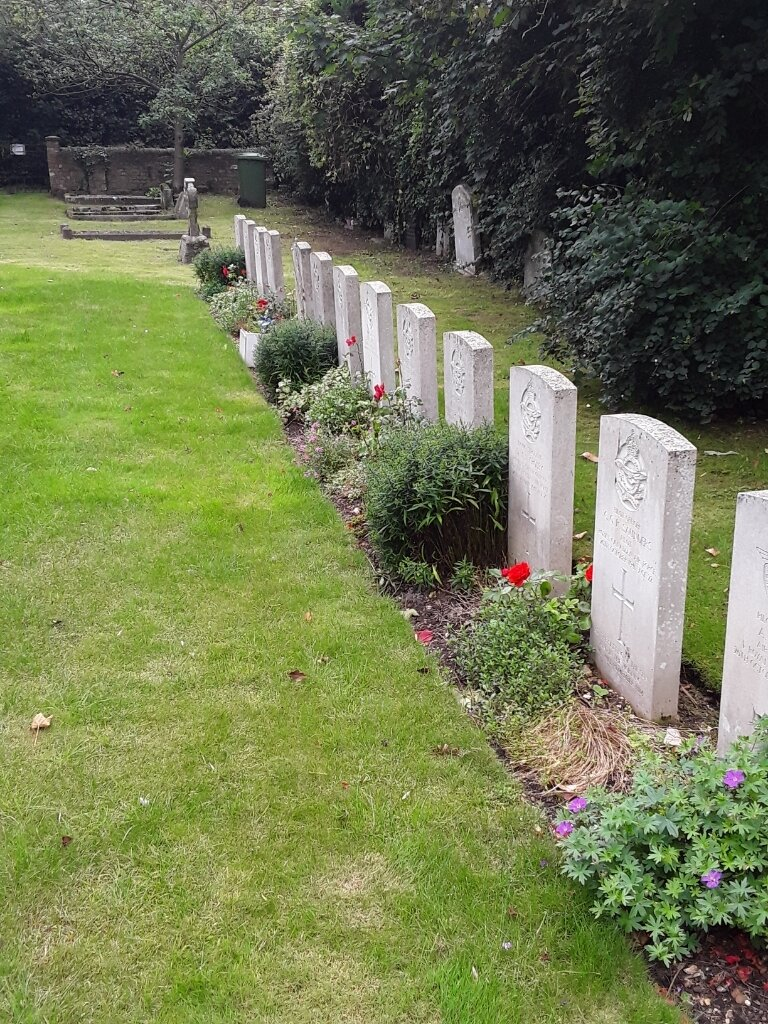
- Total identified casualties 26 Find these casualties
- Region Huntingdonshire
- Identified casualties from First & Second World War
- GPS Coordinates Latitude: 52.33327, Longitude: -0.12642

Location information
Wyton is a village two miles east of Huntingdon along the A1123 to St. Ives. The churchyard is south of the main Huntingdon Road, along Rectory Lane.
History information
The churchyard contains the graves of two casualties from the 1914-18 war and 24 from the 1939-45 war, all of whom served with the air forces of the Commonwealth. Most are buried in a plot set aside for casualties from the nearby airfield at Wyton during the Second World War.