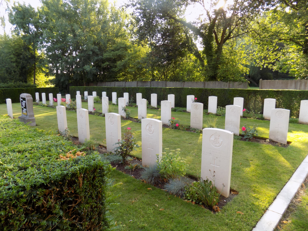
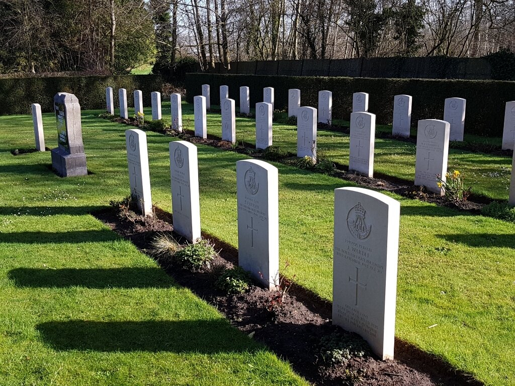
Geel (Stelen) Churchyard
- Country Belgium
- Total identified casualties 34 Find these casualties
- Region Antwerpen
- Identified casualties from Second World War
- GPS Coordinates Latitude: 51.12436, Longitude: 4.97696
Location information
Geel is located midway between Antwerpen (46 km), Hasselt (38 km) and Leuven. From St Amandskerk on the Grote Markt in Geel follow the one way system for 15 metres and turn right into 'Pas'. Follow this road for 500 metres to the traffic lights. Go straight across this junction onto the Stelenseweg and follow this road for 4.25 km then turn right into a road called 'Stelen'. The Church is situated 400 metres on the right and the Commission plot can be found to the rear of the church.
Visiting information
Wheelchair access possible via main entrance. For further information regarding wheelchair access, please contact our Enquiries Section on telephone number 01628 507200.
History information
The British Expeditionary Force was involved in the later stages of the defence of Belgium following the German invasion in May 1940, and suffered many casualties in covering the withdrawal to Dunkirk. Commonwealth forces did not return until September 1944, but in the intervening years, many airmen were shot down or crashed in raids on strategic objectives in Belgium, or while returning from missions over Germany. All of the men buried in Geel (Stelen) Churchyard died in the period 9-11 September 1944, during the fighting to establish a bridgehead across the Albert Canal. The churchyard contains 34 Commonwealth burials of the Second World War.