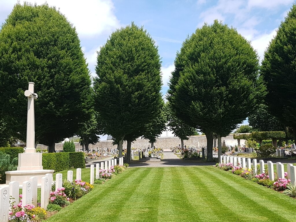
St. Brieuc Western Communal Cemetery
- Country France
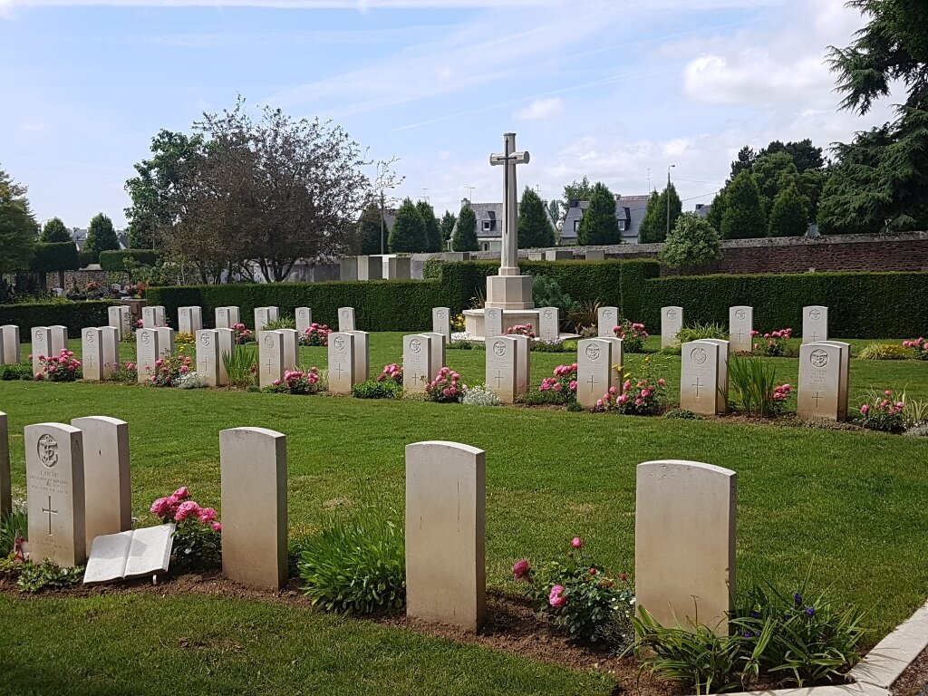
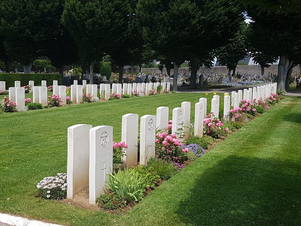
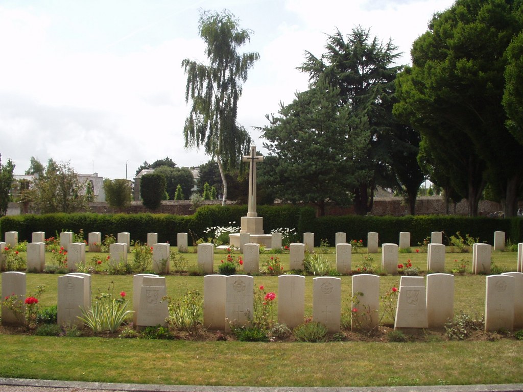
- Total identified casualties 57 Find these casualties
- Region Cotes-d'Armor
- Identified casualties from Second World War
- GPS Coordinates Latitude: 48.51441, Longitude: -2.7841
Location information
St. Brieuc is the chief town and the seat of the Prefecture of the Department of the Cotes-d'Armor. The town lies 64 kilometres west of Dinard (Ille et Vilaine). The cemetery is 2 kilometres from the railway station, between the road to Brest and the road to the local aerodrome. From the Prefecture, follow the Rue de la Corderie onto the Rue J Nicolas and then into Rue Pinot where the cemetery entrance will be found on the right hand side.
Download Cemetery Plan
History information
The great majority of the sailors buried at St. Brieuc Western Communal Cemetery lost their lives when H.M.S. Charybdis was sunk off the Bord de la Rance in October 1943. There are now over 90, 1939-45 war casualties commemorated in this site. Of these, over a third are unidentified.