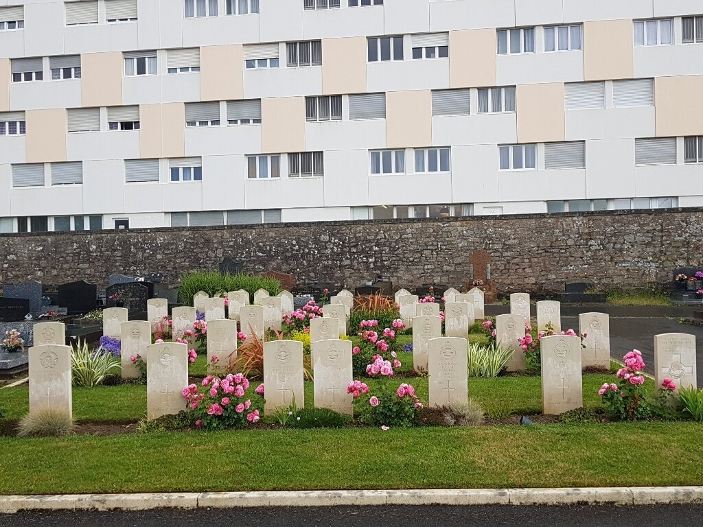
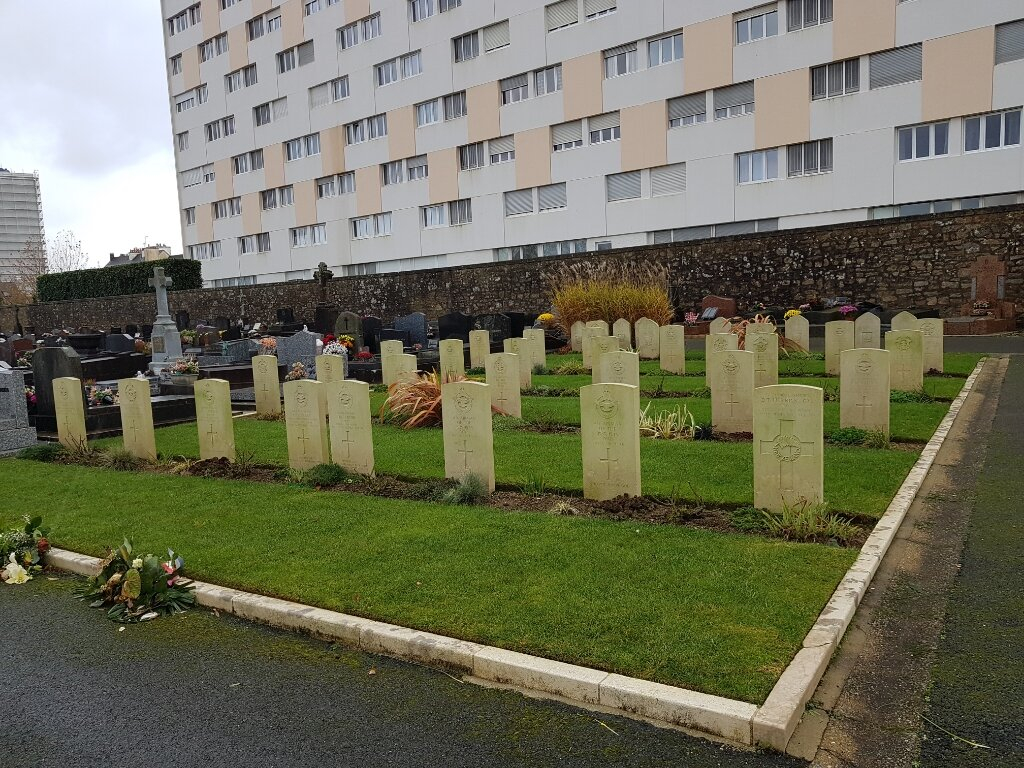
Lorient (Kerentrech) Communal Cemetery
- Country France
- Total identified casualties 34 Find these casualties
- Region Morbihan
- Identified casualties from Second World War
- GPS Coordinates Latitude: 47.75279, Longitude: -3.37249
Location information
Lorient is a town, seaport and naval base, with Government dockyards and an arsenal, on the southern side of the Brittany peninsula. From the town centre, look for Avenue Du Gen. De Gaulle straight to the roundabout. Take the first exit into Bd. Edouard Herriot, straight on along Bd. Leon Blum, and the Cemetery lies on the left hand side of the road before the junction with Bd. Emmanuel Svob. The CWGC signpost is on the cemetery wall.
History information
There are now 30, 1939-45 war casualties commemorated in this site. Of these, a small number are unidentified.