Veurne Communal Cemetery Extension
- Country Belgium
- Total identified casualties 71 Find these casualties
- Region West-Vlaanderen
- Identified casualties from Second World War
- GPS Coordinates Latitude: 51.0747, Longitude: 2.66428
Location information
Veurne Communal Cemetery Extension is located in the north-east district of the town of Veurne (also known as Furnes). From the Grote Markt the Oostraat leads for 500 metres to the left hand turning onto Oude Vestingstraat. The cemetery is located 500 metres along Oude Vestingstraat on the right hand side of the road.
Visiting information
Wheelchair access is possible via the main entrance.
For further information regarding wheelchair access, please contact our Enquiries Department on telephone number: 01628 634221
History information
The British Expeditionary Force was involved in the later stages of the defence of Belgium following the German invasion in May 1940, and suffered many casualties in covering the withdrawal to Dunkirk. Commonwealth forces did not return until September 1944, but in the intervening years, many airmen were shot down or crashed in raids on strategic objectives in Belgium, or while returning from missions over Germany.
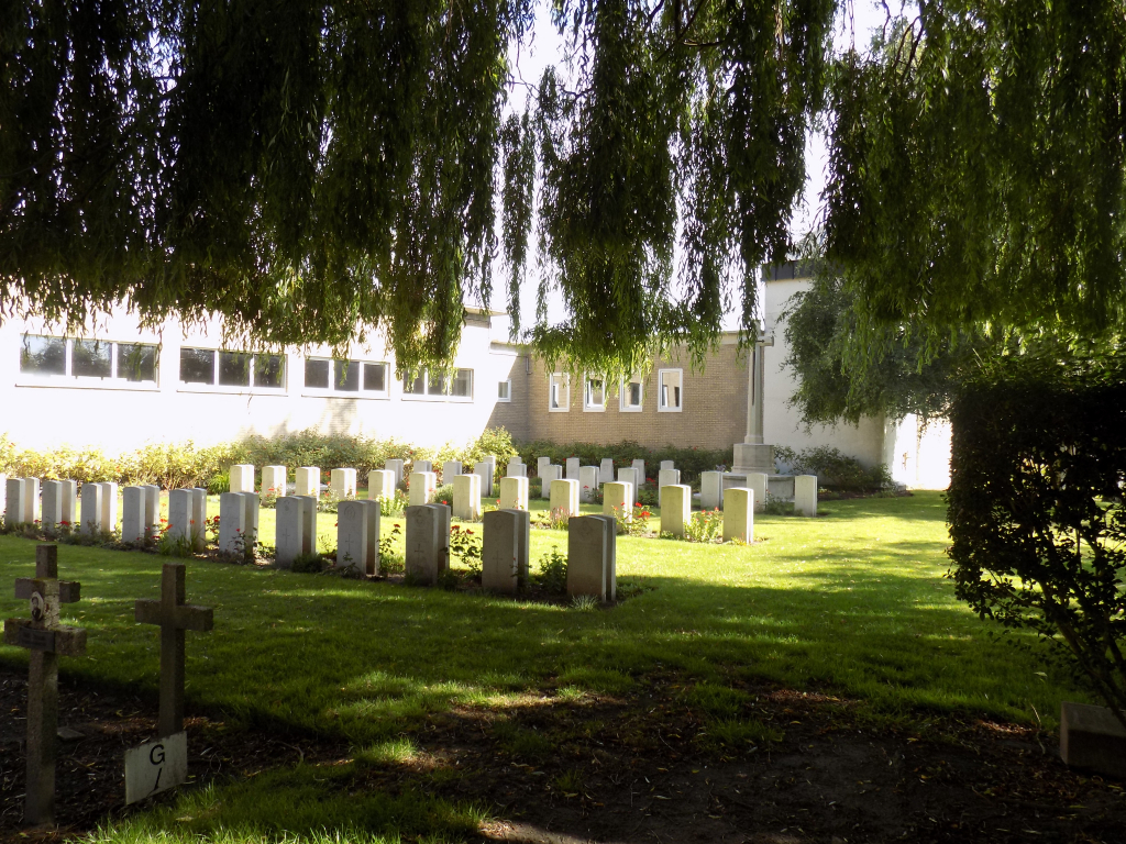
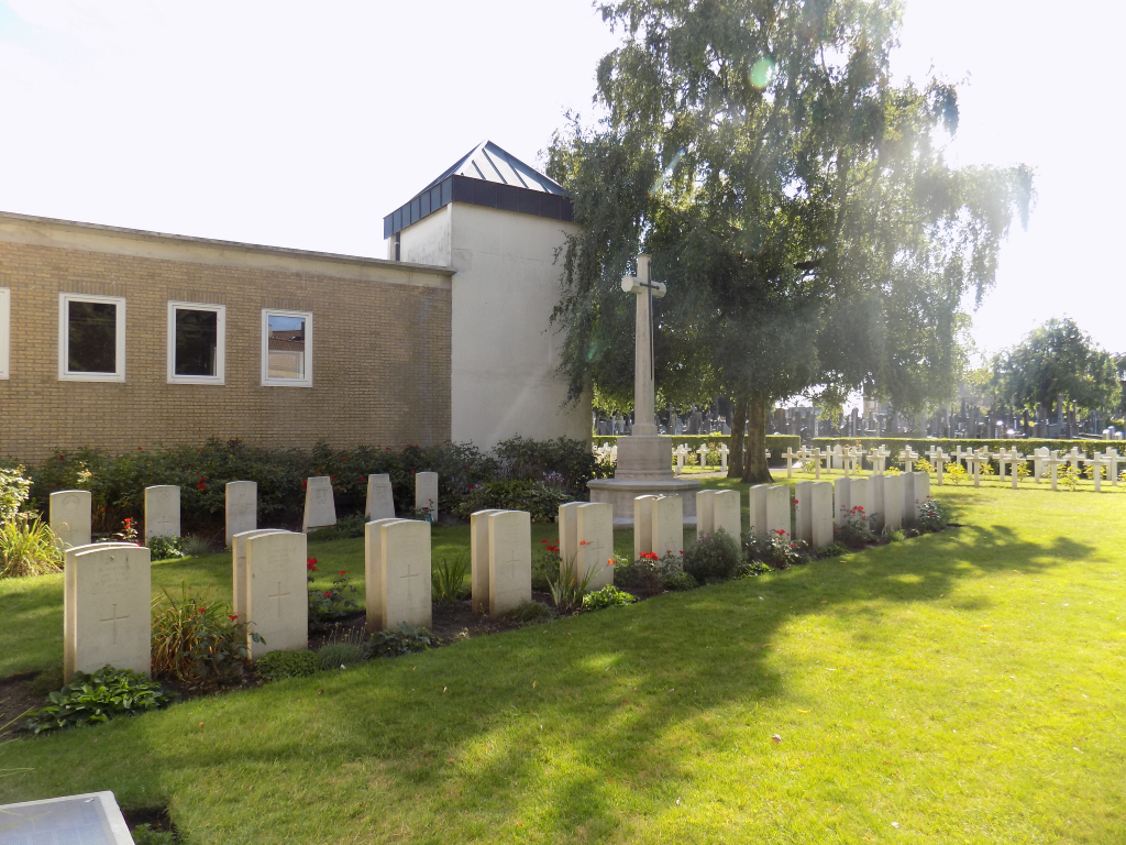
VEURNE COMMUNAL CEMETERY EXTENSION contains 77 Commonwealth burials of the Second World War, almost all of which date from the last two or three days of May 1940. There are also two Czechoslovak war graves within the extension.
The adjoining COMMUNAL CEMETERY contains two First World War burials.