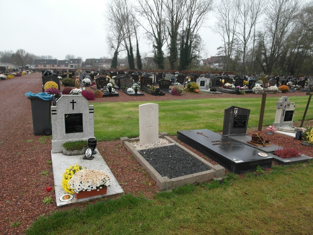
Denderleeuw Communal Cemetery
- Country Belgium
- Total identified casualties 1 Find these casualties
- Region Oost-Vlaanderen
- Identified casualties from Second World War
- GPS Coordinates Latitude: 50.87774, Longitude: 4.07297
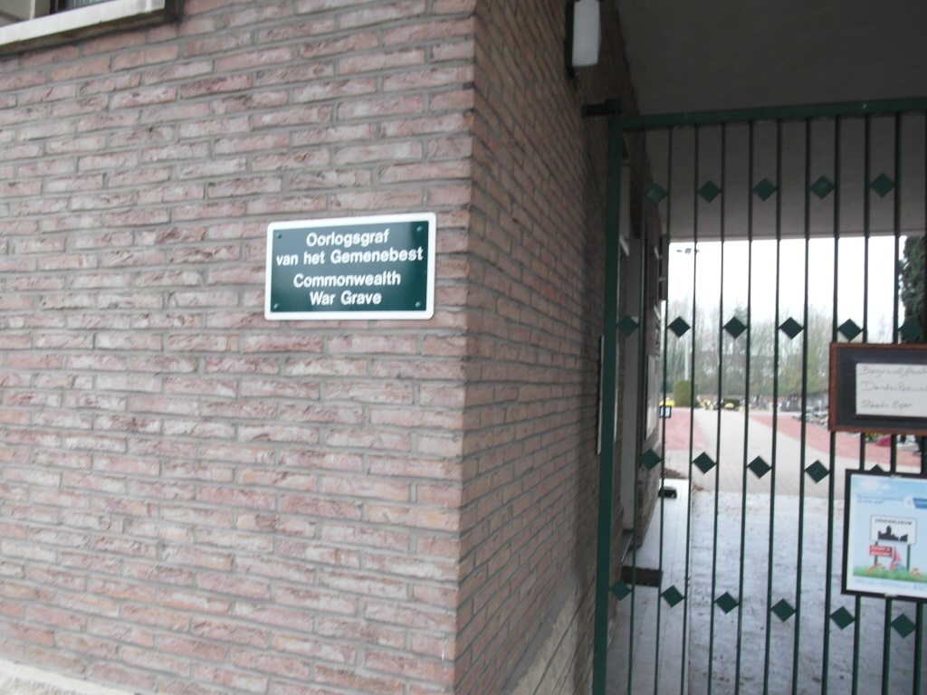
Location information
The town of Denderleeuw is located south of the town of Aalst on the N405. From the motorway E40/A10, which runs between Oostende and Brussels, turn off at junction 19 onto the N45, direction Ninove. Follow this road to the first turning on the left and turn left into Churchillsteenweg. Cross the motorway then turn first right into Groenweg. At the end of Groenweg turn right onto the N405, direction Ninove. Pass through Welle and take the second turning left to Denderleeuw along the Wijngaardstraat towards the station. Cross the railway and take the second turning on the left called Vrijheidsstraat, then the first turning right called Toekomststraat, then first left into Kerkhofstraat. The cemetery is at the end of this road. The grave is located to the left of the centre path just beyond the round about.
History information
The British Expeditionary Force was involved in the later stages of the defence of Belgium following the German invasion in May 1940, and suffered many casualties in covering the withdrawal to Dunkirk. Denderleeuw Communal Cemetery contains one Commonwealth burial of the Second World War.