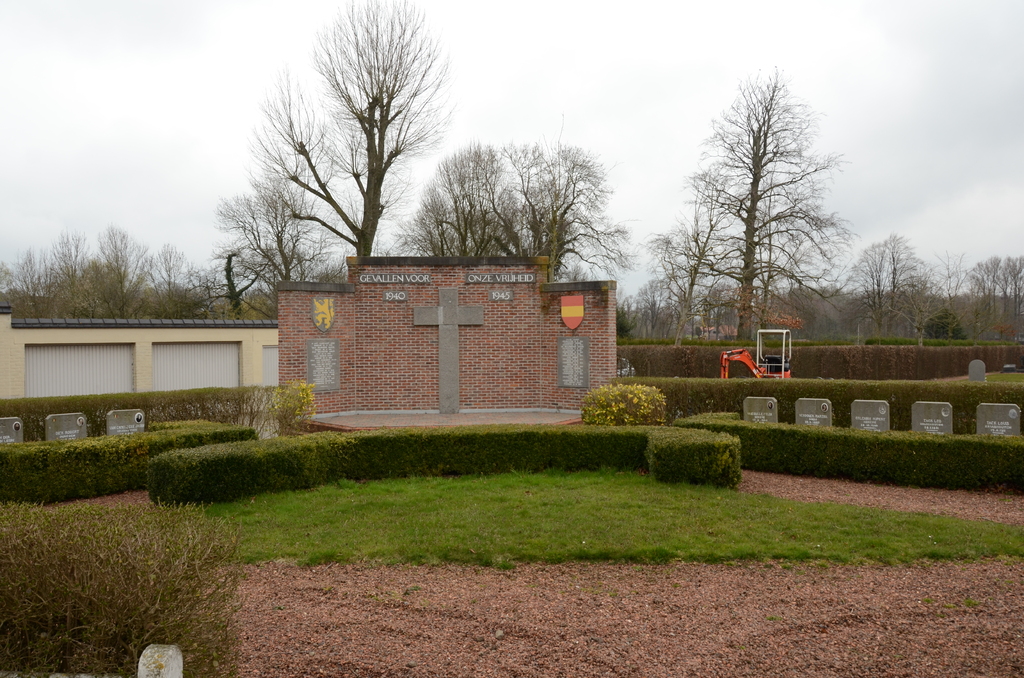
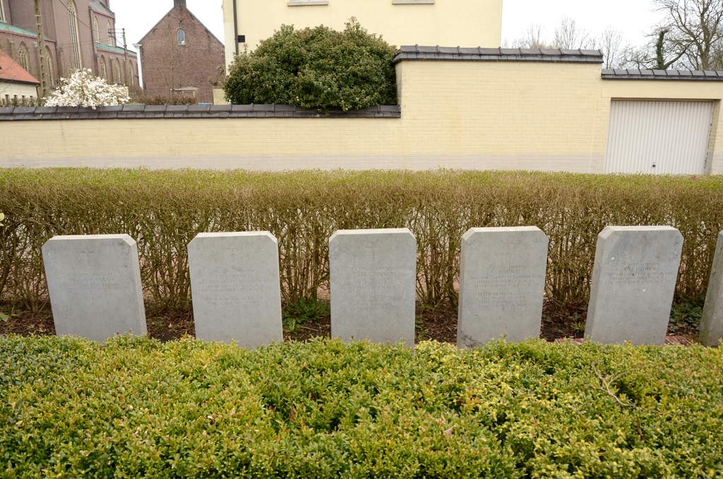
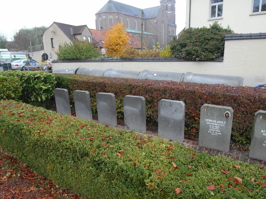
Kruishoutem Communal Cemetery
- Country Belgium
- Total identified casualties 5 Find these casualties
- Region Oost-Vlaanderen
- Identified casualties from Second World War
- GPS Coordinates Latitude: 50.90424, Longitude: 3.53038
Location information
The town of Kruishoutem is located south-west of the city of Gent on the N459. From the motorway E17/A14, which runs between Kortrijk and Antwerpen, turn off at junction 6 onto the N459, direction Kruishoutem. Follow this road to the town centre and the square, bear left through the square into Kerkstraat and turn immediatly right into Pastorijstraat. The cemetery is along here on the left and the graves are located to the left of the entrance.
History information
The British Expeditionary Force was involved in the later stages of the defence of Belgium following the German invasion in May 1940, and suffered many casualties in covering the withdrawal to Dunkirk. Commonwealth forces did not return until September 1944, but in the intervening years, many airmen were shot down or crashed in raids on strategic objectives in Belgium, or while returning from missions over Germany. The large Belgian pelouse d'honneur at Kruishoutem Communal Cemetery contains five Commonwealth burials of the Second World War.