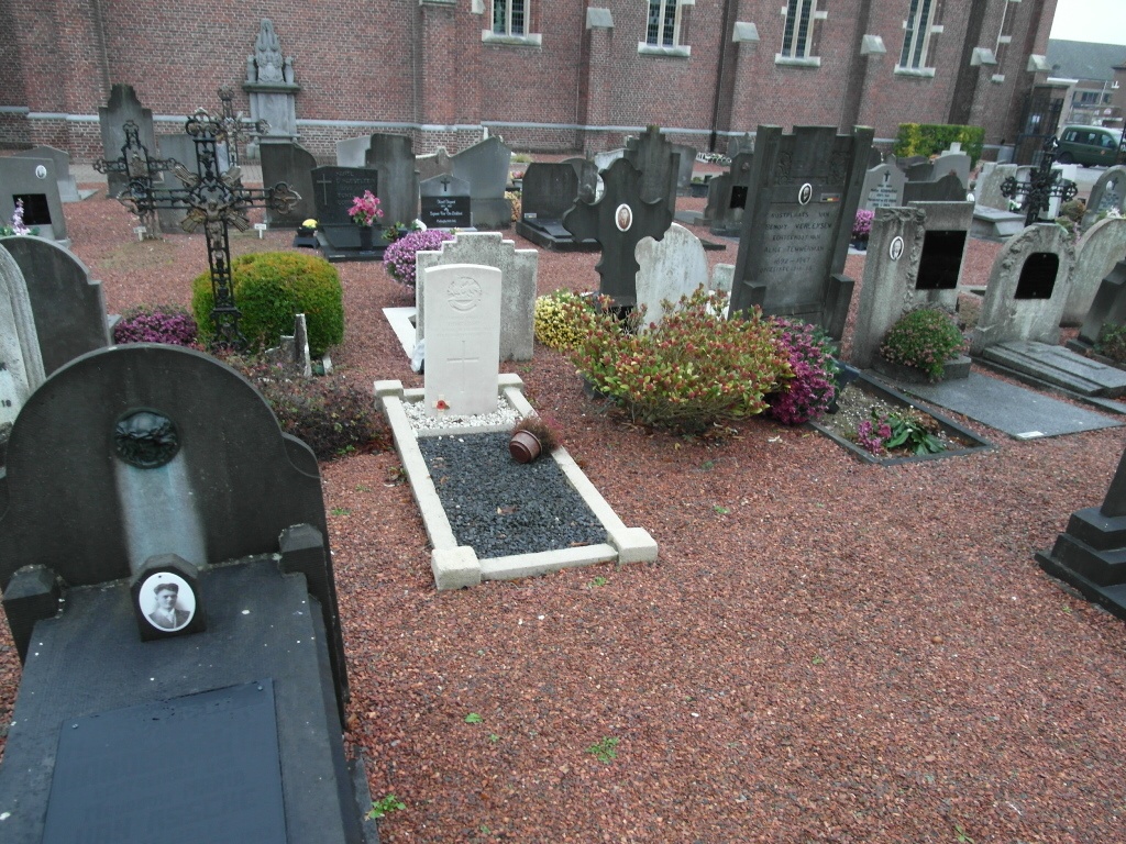
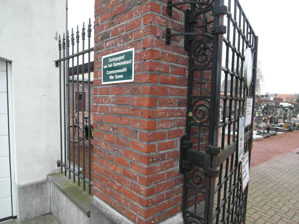
Welle Churchyard
- Country Belgium
- Total identified casualties 1 Find these casualties
- Region Oost-Vlaanderen
- Identified casualties from Second World War
- GPS Coordinates Latitude: 50.90074, Longitude: 4.04528
Location information
The town of Welle is located south of the town of Aalst on the N405. From the motorway E40/A10, which runs between Oostende and Brussels, turn off at junction 19 onto the N45, direction Ninove. Follow this road to the roundabout. Take the third (left) turning Groenweg. Cross the motorway and follow Groenweg to the T junction at its end. Turn right onto the N405, direction Ninove. Pass over the motorway and take the fourth turning right into Hertstraat. Follow this road towards the village then take the second left into Kerkstraat. Follow Kerkstraat to the village square Welleplein then park in front of the church. The entrance to the churchyard is to the left of the church. Enter the churchyard and the war grave is in the middle of the first section to the left of the church.
History information
The British Expeditionary Force was involved in the later stages of the defence of Belgium following the German invasion in May 1940, and suffered many casualties in covering the withdrawal to Dunkirk. Commonwealth forces did not return until September 1944, but in the intervening years, many airmen were shot down or crashed in raids on strategic objectives in Belgium, or while returning from missions over Germany. Welle Churchyard contains one burial of the Second World War.