Grimbergen (Verbrande Brug) Churchyard
- Country Belgium
- Total identified casualties 1 Find these casualties
- Region Vlaams-Brabant
- Identified casualties from Second World War
- GPS Coordinates Latitude: 50.94697, Longitude: 4.41216
Location information
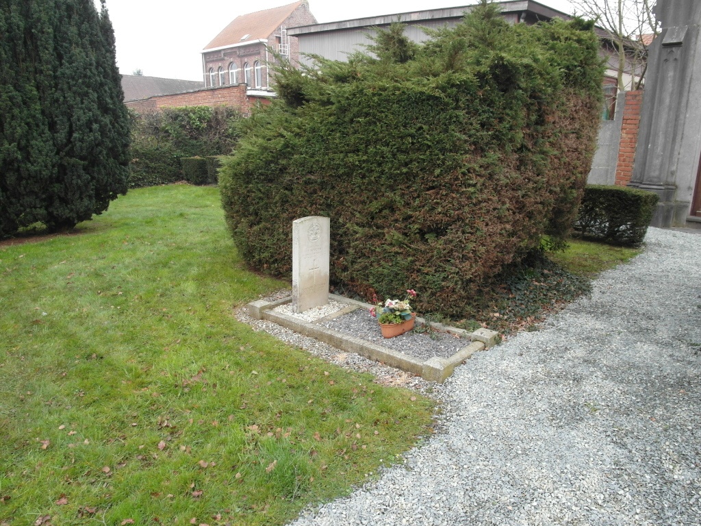
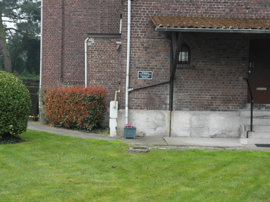
Grimbergen is a village 12 kilometres north of Brussels, lying 2 kilometers east of the Brussels-Boom- Antwerpen motorway. Verbrande-Brug is a hamlet 3 kilometres north-east of Grimbergen, on the Brussels-Antwerpen canal. The churchyard is about 90 meters west of the bridge over the canal and the Commonwealth grave is at the rear of the church close to the Belgian Military Plot.
History information
The British Expeditionary Force was involved in the later stages of the defence of Belgium following the German invasion in May 1940, and suffered many casualties in covering the withdrawal to Dunkirk. Grimbergen Churchyard contains one Commonwealth burial of the Second World War.