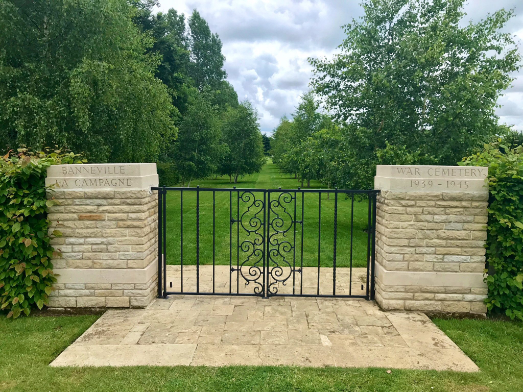
Banneville-La-Campagne War Cemetery
- Country France
- Total identified casualties 2039 Find these casualties
- Region Calvados
- Identified casualties from Second World War
- GPS Coordinates Latitude: 49.1755, Longitude: -0.22914
Location information
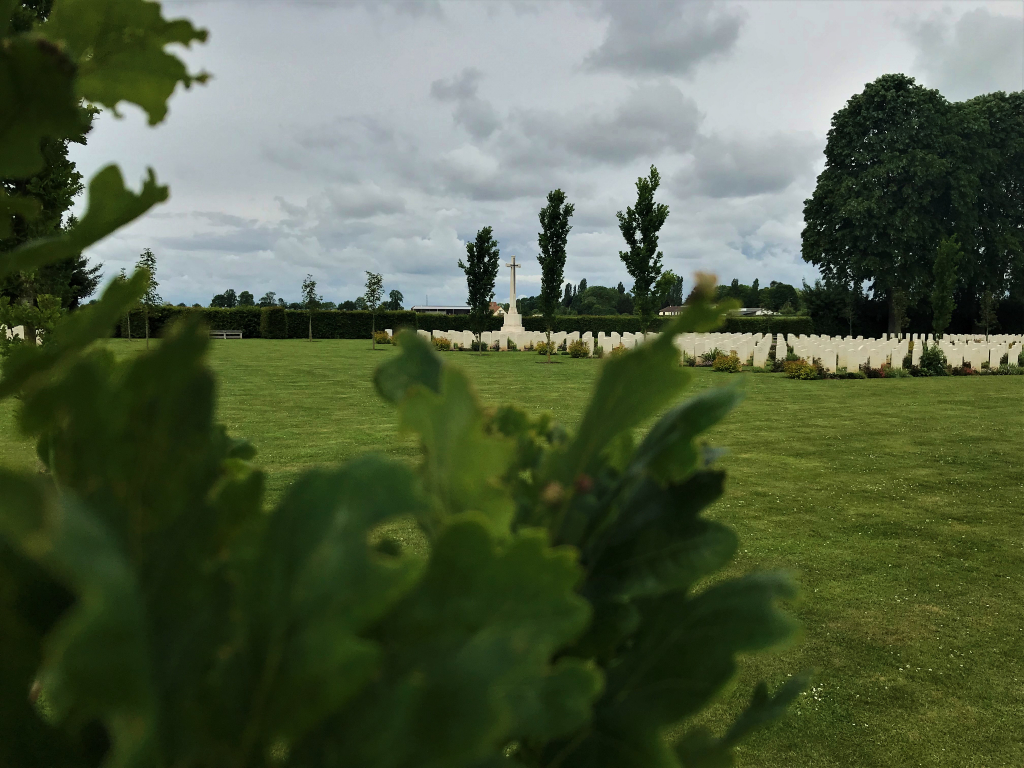
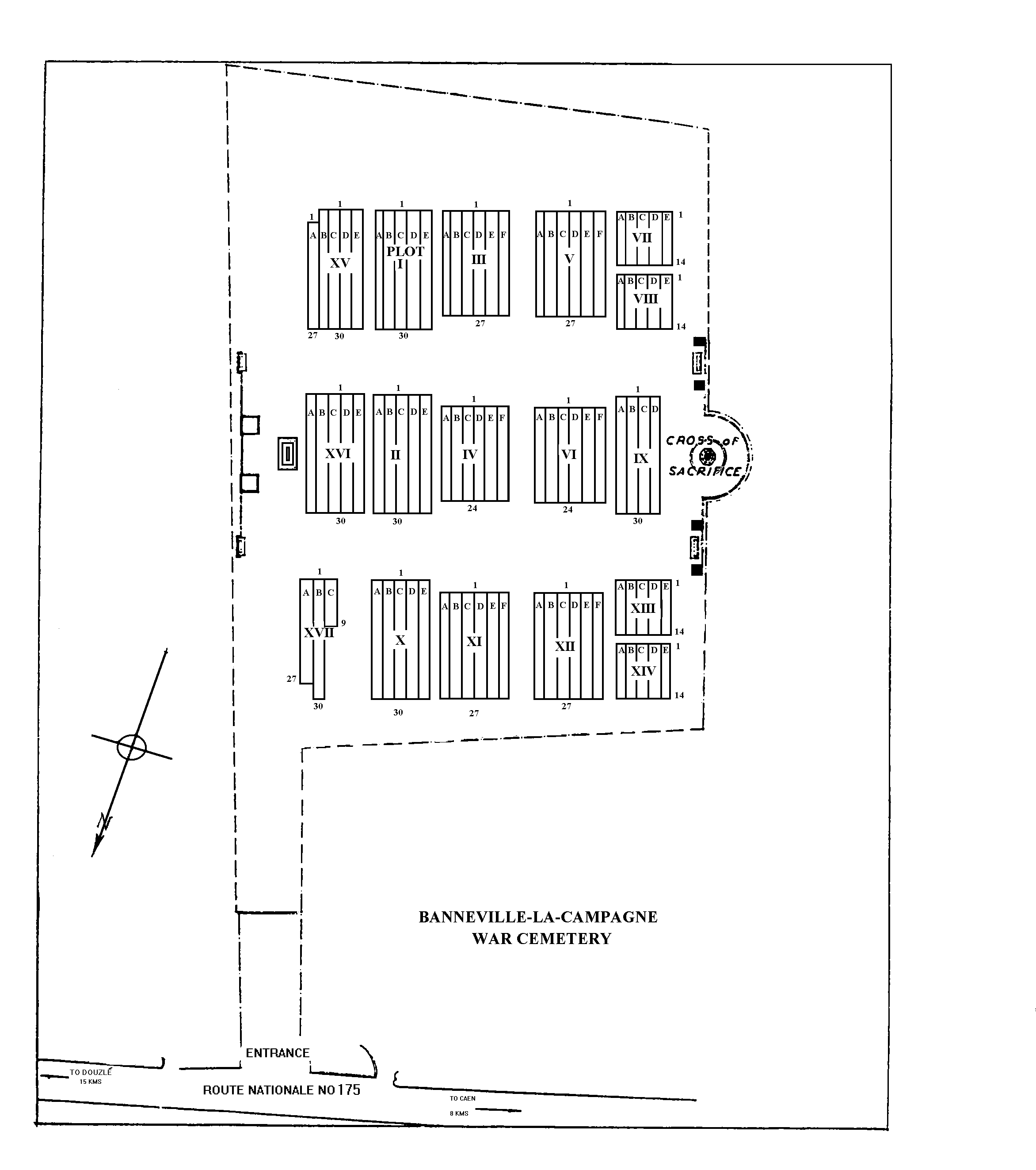
Banneville-la-Campagne is a village in Normandy, which is 10 kilometres east of Caen. The cemetery is on the main road (D675, "route de Caen") between Caen and Troarn, about 8 kilometres east of Caen. The entrance to the cemetery is through a gate set back from the road, marked with a green CWGC sign. There is a small lay-by on the opposite side of the road.
History information
The Allied offensive in north-western Europe began with the Normandy landings of 6 June 1944.
For the most part, the men buried at Banneville-la-Campagne War Cemetery were killed in the fighting from the second week of July 1944, when Caen was captured, to the last week in August, when the Falaise Gap had been closed and the Allied forces were preparing their advance beyond the Seine.
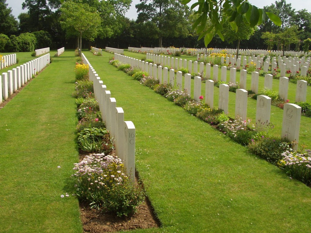
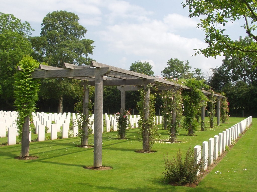
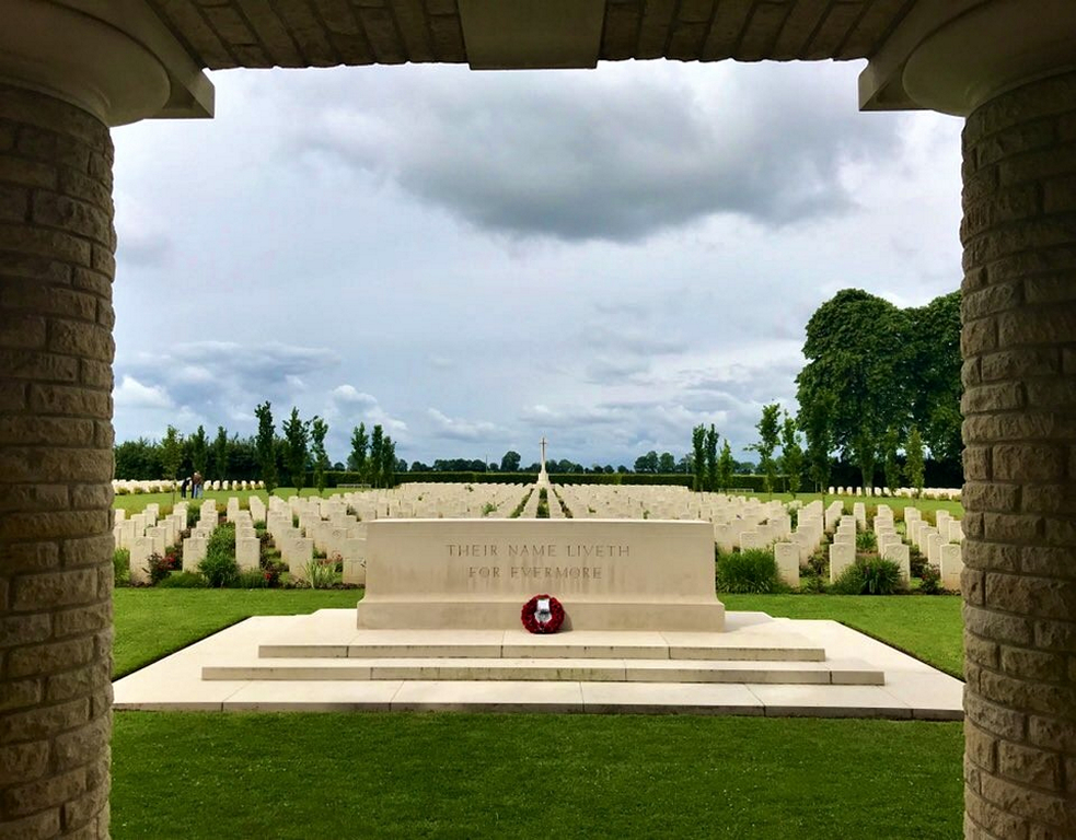
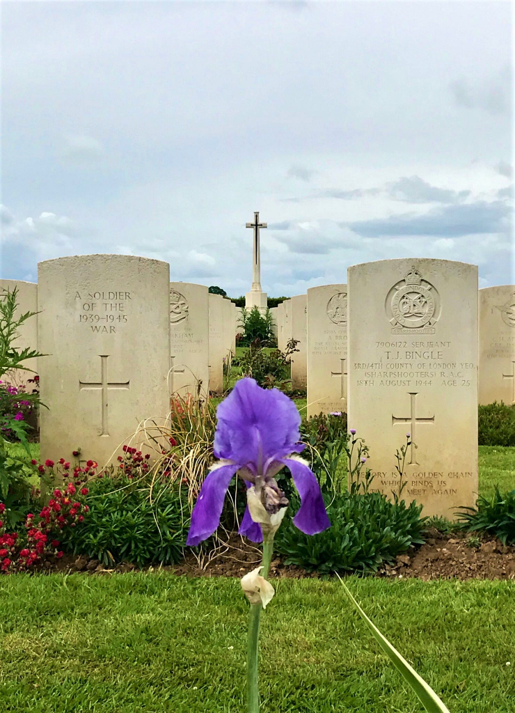
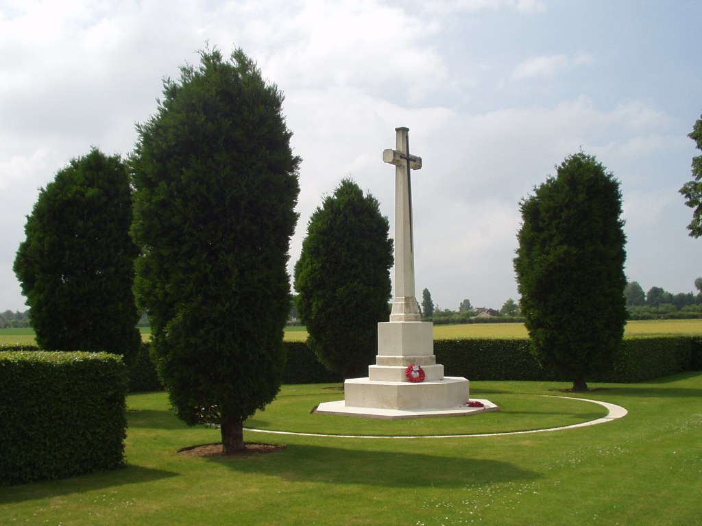
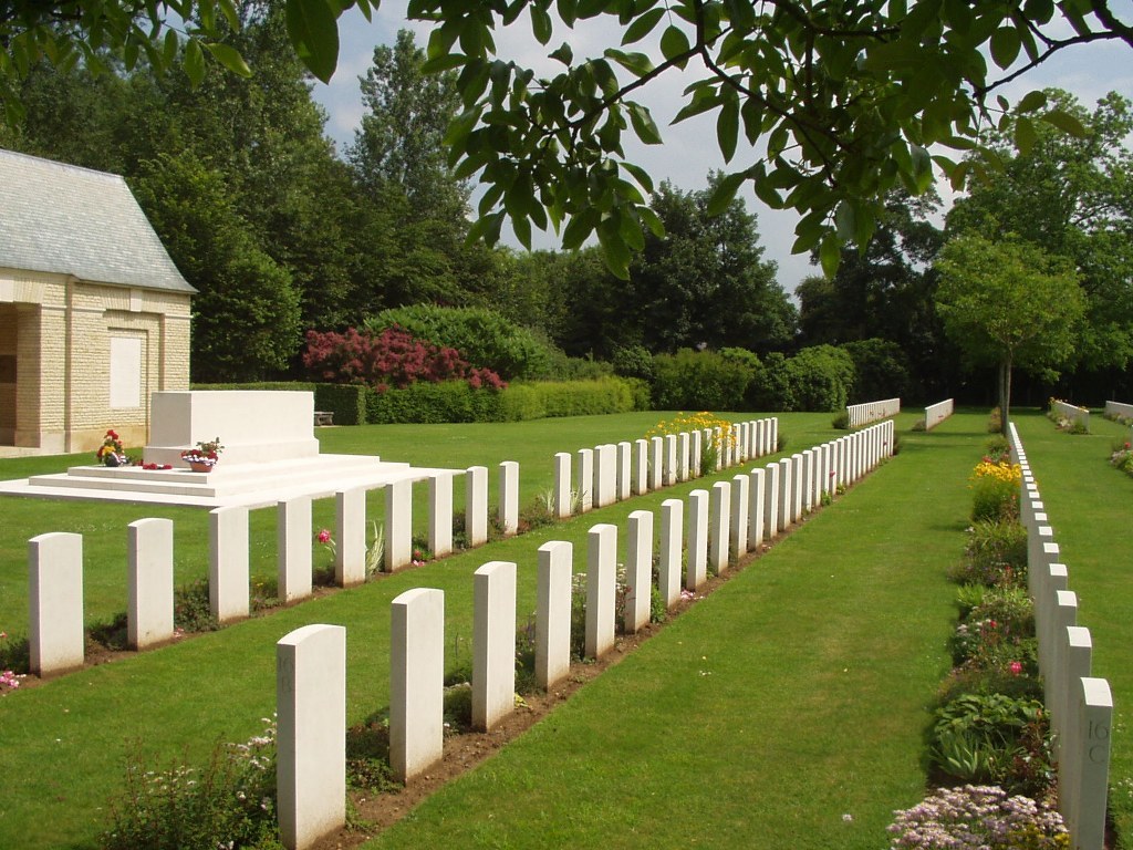
The cemetery contains 2,170 Commonwealth burials of the Second World War, 140 of them unidentified, and five Polish graves.