Kemmel Churchyard
- Country Belgium
- Total identified casualties 22 Find these casualties
- Region West-Vlaanderen
- Identified casualties from First World War
- GPS Coordinates Latitude: 50.78403, Longitude: 2.8268
Location information
Kemmel Churchyard is located 8 km south west of Ieper town centre on a road leading from the Kemmelseweg (N331), connecting Ieper to Kemmel. From Ieper town centre the Kemmelseweg is reached via the Rijselsestraat, through the Lille Gate (Rijselpoort) and straight on towards Armentieres (N336). 900 metres after the crossroads is the right hand turning onto the Kemmelseweg. (Made prominent by a railway level crossing). On reaching the village of Kemmel the first right hand turning leads onto the Reningelststraat. 600 metres along the Reningelststraat is Sint-Laurentiusplein where the church and churchyard of Kemmel are situated.
Visiting information
Wheelchair access to this site with some difficulty. For further information regarding wheelchair access, please contact our Enquiries Section on telephone number 01628 507200.
History information
The village of Kemmel was near the front line during the greater part of the First World War, and in German hands in the summer of 1918.
There are several Commonwealth cemeteries in the area, but Kemmel Churchyard was also used from October 1914 to March 1915.
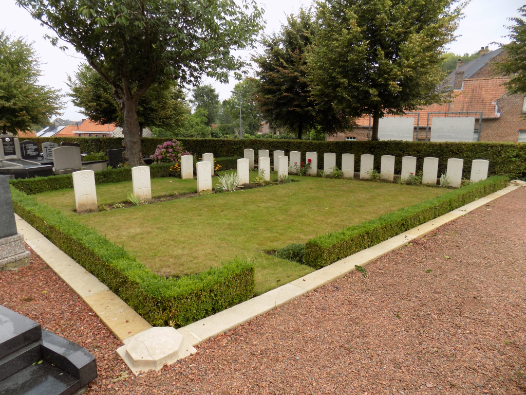
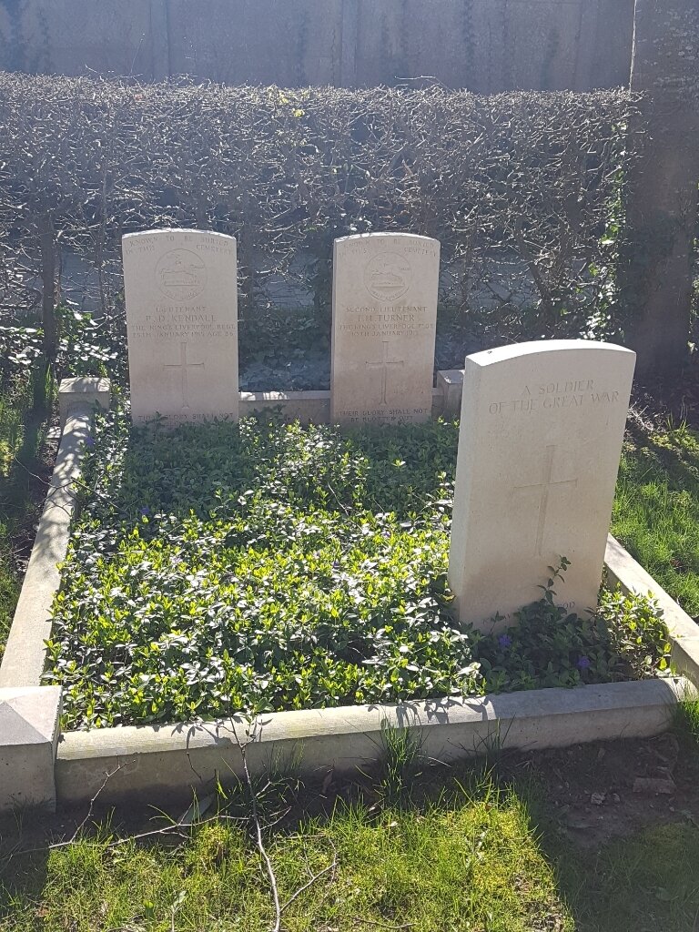
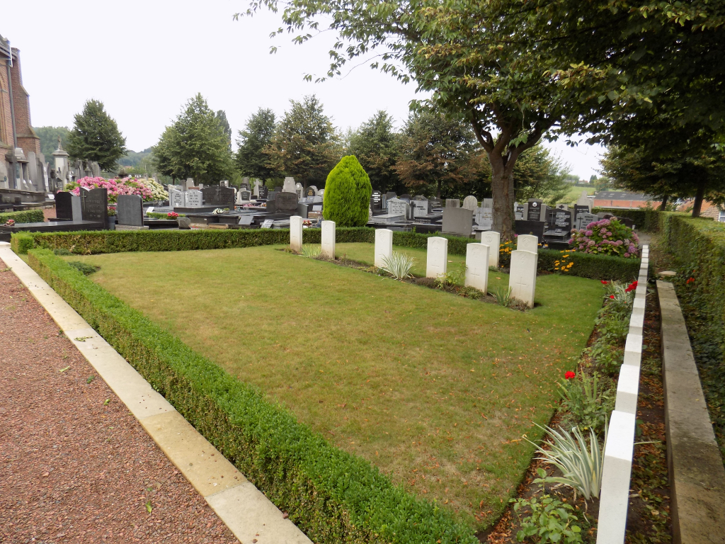
The churchyard contains 25 Commonwealth burials and commemorations of the First World War. Three of the burials are unidentified and the graves of fifteen casualties destroyed by shell fire are represented by special memorials.