Zeebrugge Churchyard
- Country Belgium
- Total identified casualties 185 Find these casualties
- Region West-Vlaanderen
- Identified casualties from First World War
- GPS Coordinates Latitude: 51.33217, Longitude: 3.20747
Location information
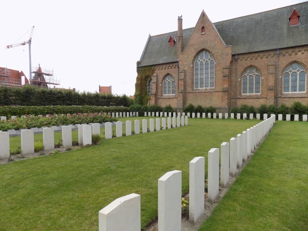
Zeebrugge Churchyard is located in the Port town of Zeebrugge, on the Sint-Donaasstraat. The churchyard is approached via the N34a Kustlaan which passes through the town of Zeebrugge. Having passed the ferry port terminal continue northwards along the N34a (following the route of the tramlines) for 1.5 km. Sint-Donaaskerk (St. Donatian church) is a large red brick building with a slate roof. Having seen the church on the right hand side, turn right off the N34a onto the Sint-Donaaskerkstraat.
Visiting information
Wheelchair access possible via main entrance.
For further information regarding wheelchair access, please contact our Enquiries Department on telephone number: 01628 634221
History information
The port of Zeebrugge was used by the British Expeditionary Force in October 1914, and bombed by Commonwealth and French aeroplanes thereafter. On 23 April 1918, British sailors and marines, in a collection of monitors, destroyers, motorboats, launches, old cruisers, old submarines and Mersey ferry-boats attacked the mole at Zeebrugge and attempted to block the canal leading to Bruges and to the German submarine headquarters.
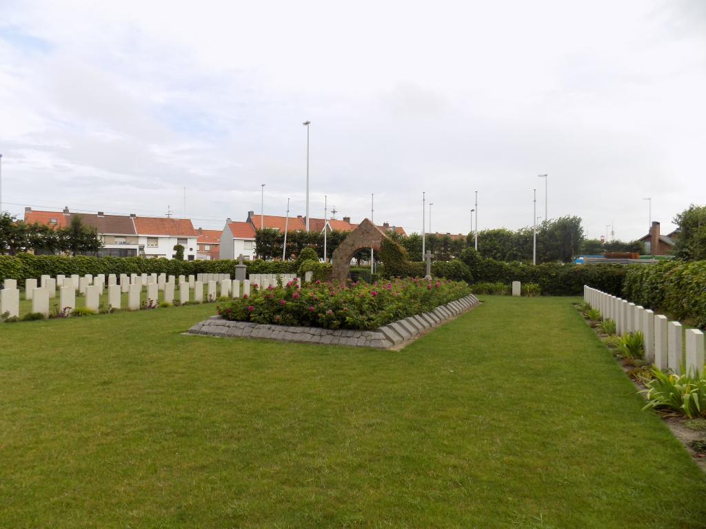
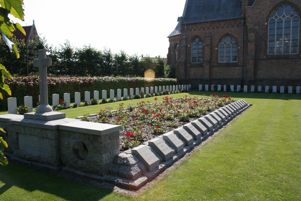
There are 30 Commonwealth servicemen of the First World War buried or commemorated in ZEEBRUGGE CHURCHYARD. 17 of the burials are unidentified but a special memorial commemorated an officer of the Royal Naval Air Service officer known to be buried among them.
Within the churchyard is the ZEEBRUGGE MEMORIAL which commemorates three officers and one mechanic of the Royal Navy who died on the mole at Zeebrugge and have no known grave.