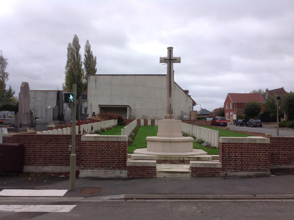
Hinges Military Cemetery
- Country France
- Total identified casualties 85 Find these casualties
- Region Pas de Calais
- Identified casualties from First World War
- GPS Coordinates Latitude: 50.56152, Longitude: 2.62085
Location information
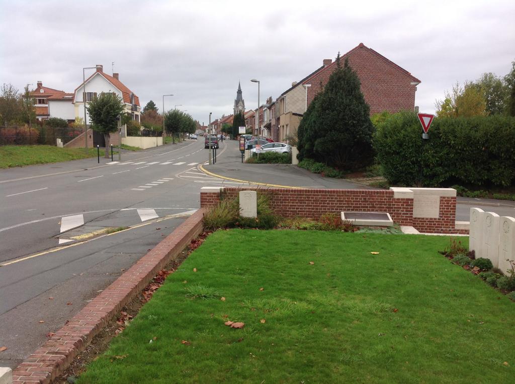
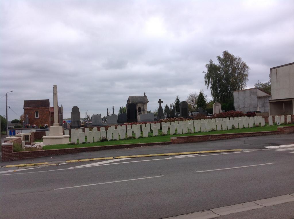
Hinges is a village and commune in the Pas-de-Calais, some 5 kilometres north-west of Bethune. The Military Cemetery is on the southern side of the village adjoining the Communal Cemetery. From the church in Hinges head south-west on the Rue de Bethune. The Military Cemetery is 400 metres from the church on the left hand side.
Visiting information
Wheelchair access is possible with some difficulty. For further information regarding wheelchair access, please contact our enquiries department on telephone number 01628 634221.
History information
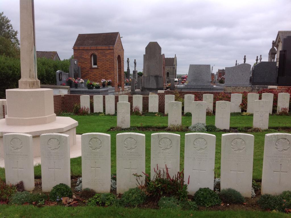
The chateau at Hinges was the headquarters of the Indian, I, XI and other Corps. The village was used for rest billets until April 1918, when the German advance was stopped on the canal, a little to the east. The cemetery was begun in May 1915, and used (mainly by field ambulances) until the following August. It was used again for one burial in April 1918 and after the Armistice, graves of April-August 1918, were brought in from the battlefields immediately east of the village. Hinges Military Cemetery now contains 105 burials and commemorations of the First World War. 20 of the burials are unidentified but there are special memorials to four casualties believed to be buried among them. The cemetery was designed by W H Cowlishaw.