Aix-Noulette Communal Cemetery Extension
- Country France
- Total identified casualties 689 Find these casualties
- Region Pas de Calais
- Identified casualties from First World War
- GPS Coordinates Latitude: 50.43106, Longitude: 2.71223


Location information
Aix-Noulette is a village in the Department of the Pas-de-Calais, about 13 kilometres south of Bethune on the main road to Arras. From Arras take the D937 towards Bethune. At Aix-Noulette, turn right at the church. The Communal Cemetery and Extension are a few hundred metres on the left side of the road to Bully-Grenay.
Visiting information
Wheelchair access possible via main entrance. For further information regarding wheelchair access, please contact our Enquiries Section on 01628 507200.
History information
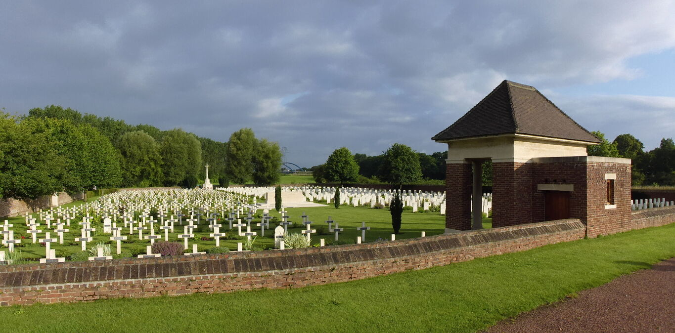
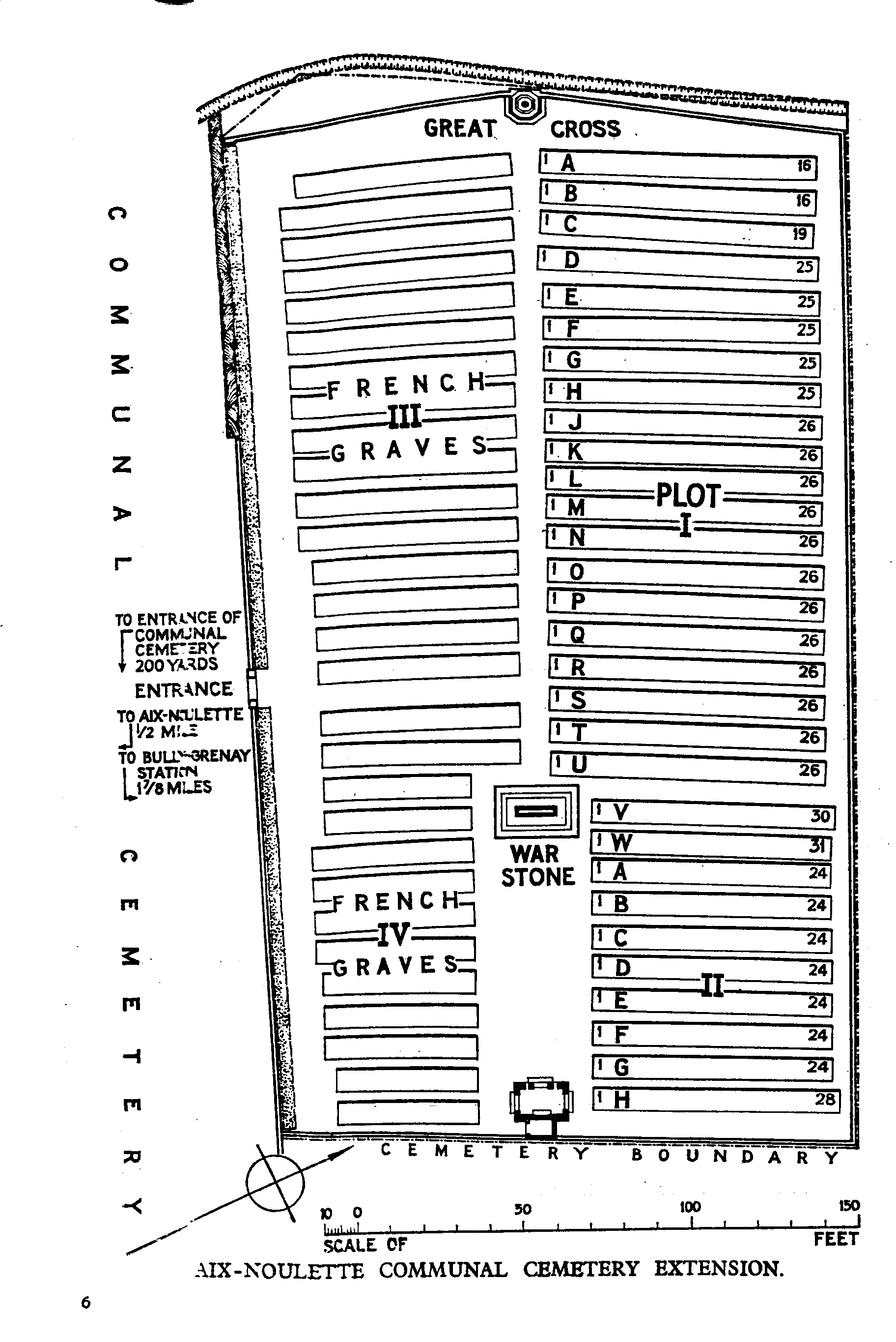
The Cemetery Extension was begun by French troops early in 1915, and the two French plots are next to the Communal Cemetery. It was taken over by the 1st and 2nd Divisions in February, 1916, and used by fighting units and Field Ambulances until October, 1918. It was increased after the Armistice by the concentration of graves from the battlefields to the East. There are now 749 Commonwealth burials of the 1914-1918 war commemorated here, 61 being unidentified. There are also 502 French burials here. The cemetery covers an area of 5,198 square metres and is enclosed by a red brick wall on three sides, and on the South by the wall of the Communal Cemetery.