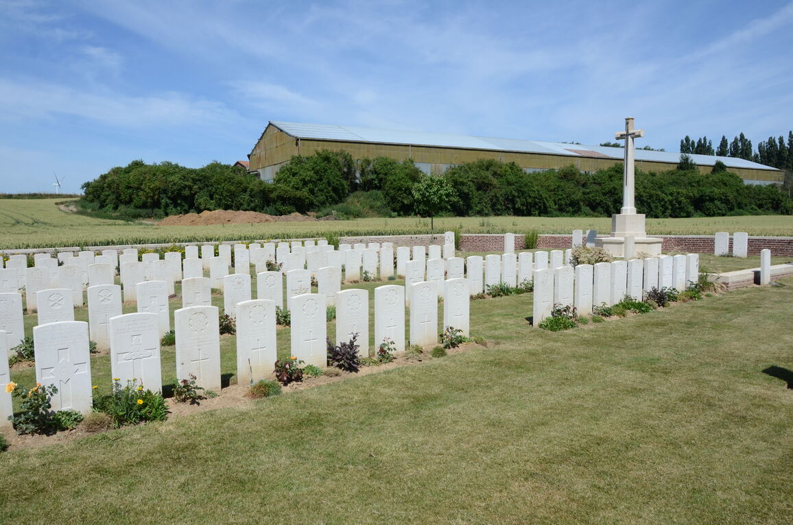
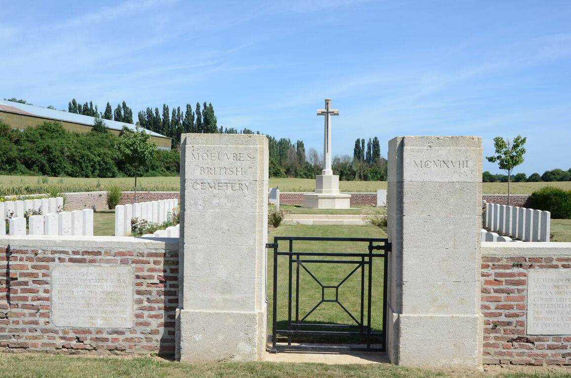
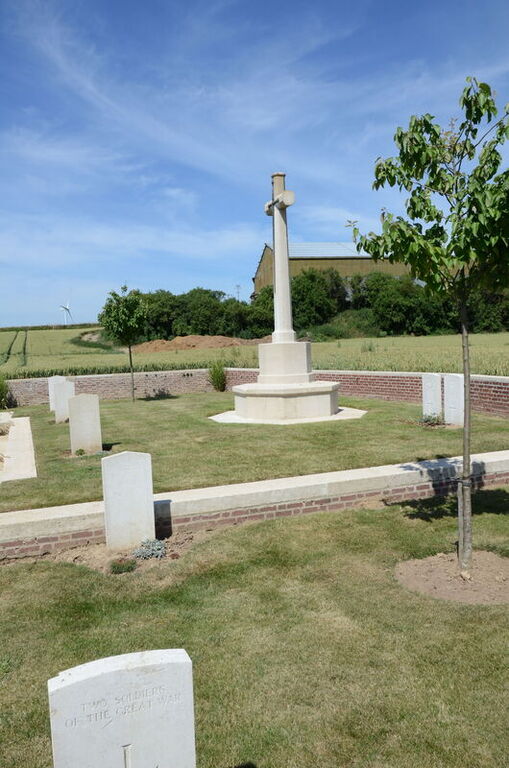
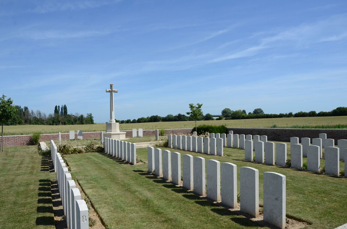
Moeuvres British Cemetery
- Country France
- Total identified casualties 98 Find these casualties
- Region Nord
- Identified casualties from First World War
- GPS Coordinates Latitude: 50.15411, Longitude: 3.06758
Location information
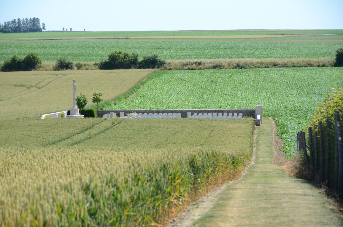
Moeuvres is a village about 10 kilometres west of Cambrai and 2 kilometres north of the main Cambrai to Bapaume (N30). The Cemetery is signposted off the N30 and can be found on the right hand side of the road (D34A) towards Moeuvres. It lies in open fields at the end of a grass access path about 150 metres long.
History information
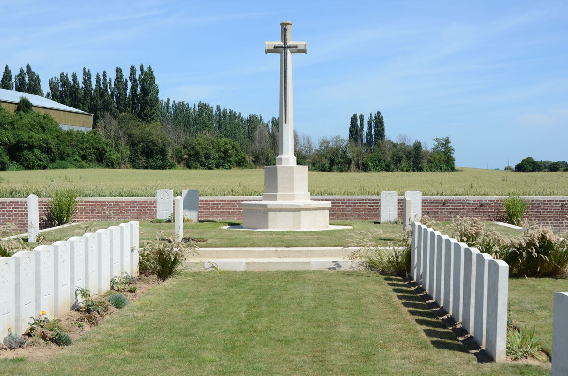
Moeuvres remained in German hands during the Battle of Cambrai, 1917, in spite of three days of desperate attack by the 36th (Ulster) Division. It was partly taken by the 57th (West Lancashire) Division on 11 September 1918 and cleared by the 52nd (Lowland) Division on the 19th. Moeuvres British Cemetery contains 107 Commonwealth burials of the First World War. 13 of the burials are unidentified and special memorials are erected to four casualties known or believed to be buried among them. The cemetery also contains four German graves. The cemetery was designed by G R Goldsmith.