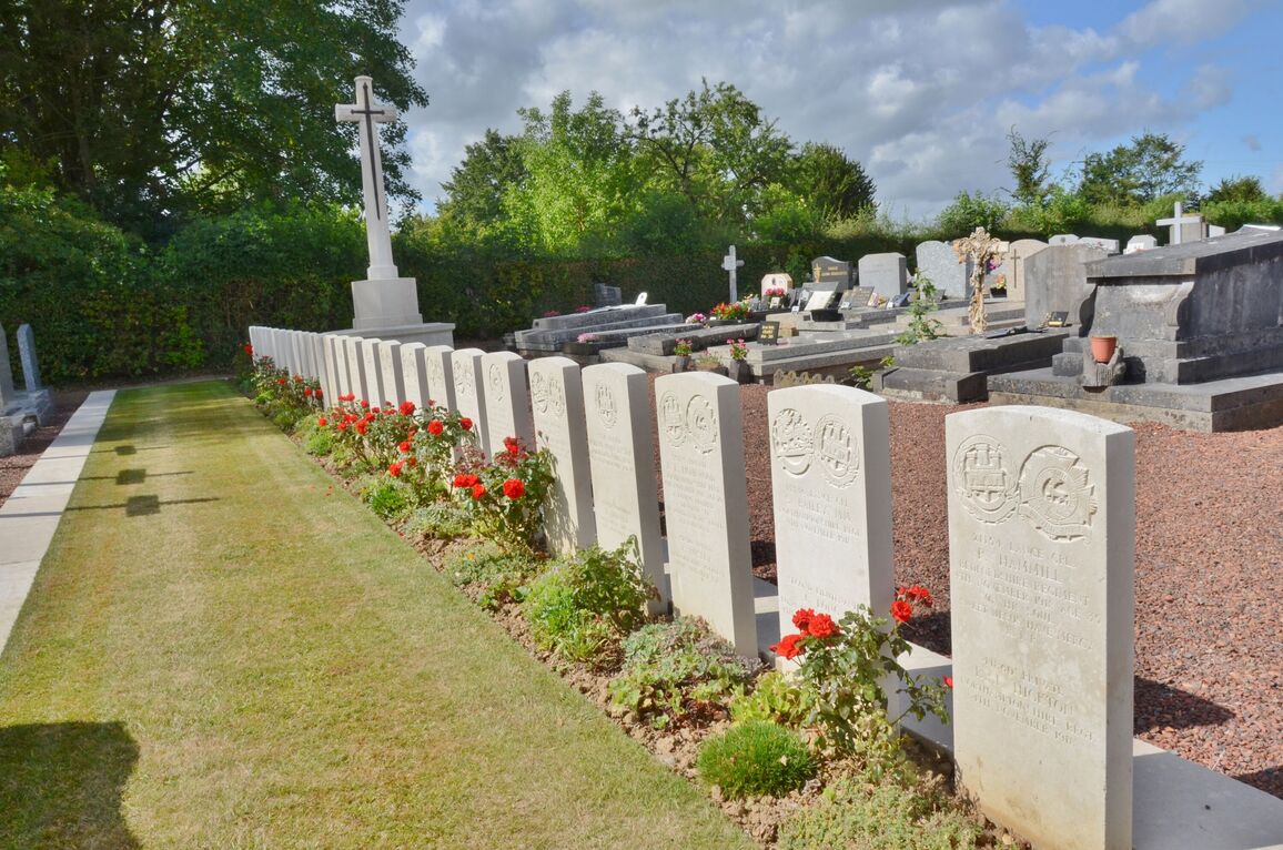
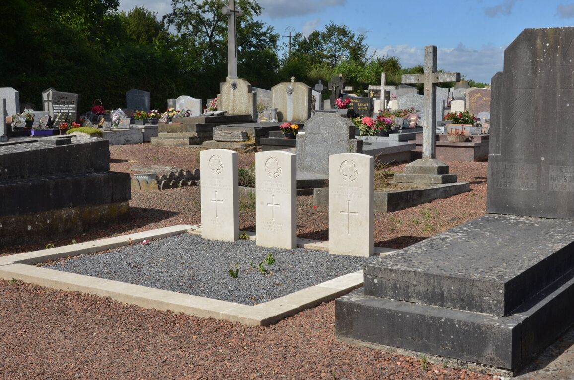
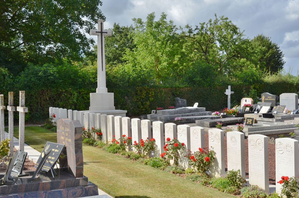
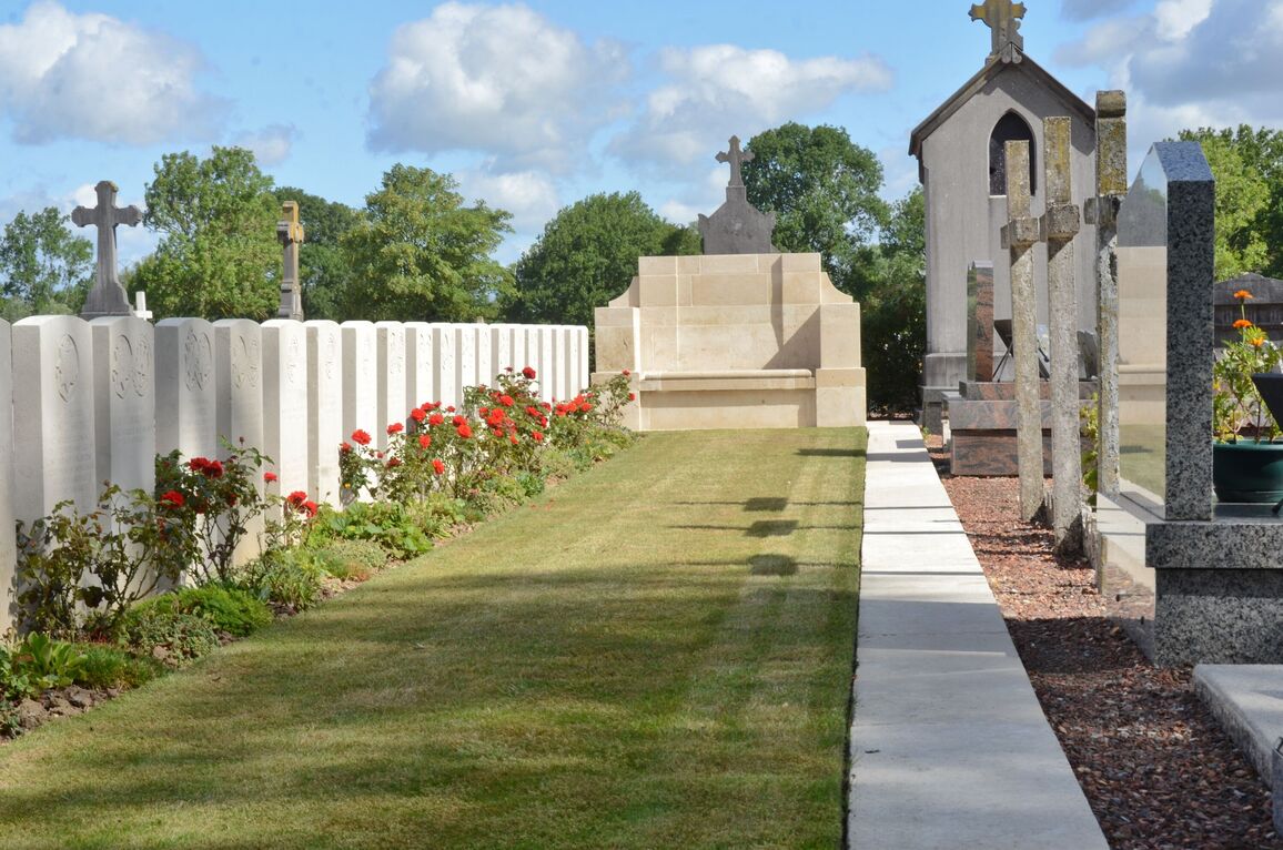
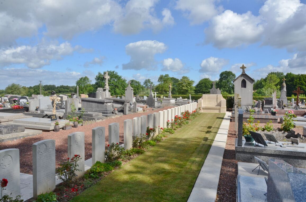
Preux-Au-Bois Communal Cemetery
- Country France
- Total identified casualties 67 Find these casualties
- Region Nord
- Identified casualties from First & Second World War
- GPS Coordinates Latitude: 50.16986, Longitude: 3.66021
Location information
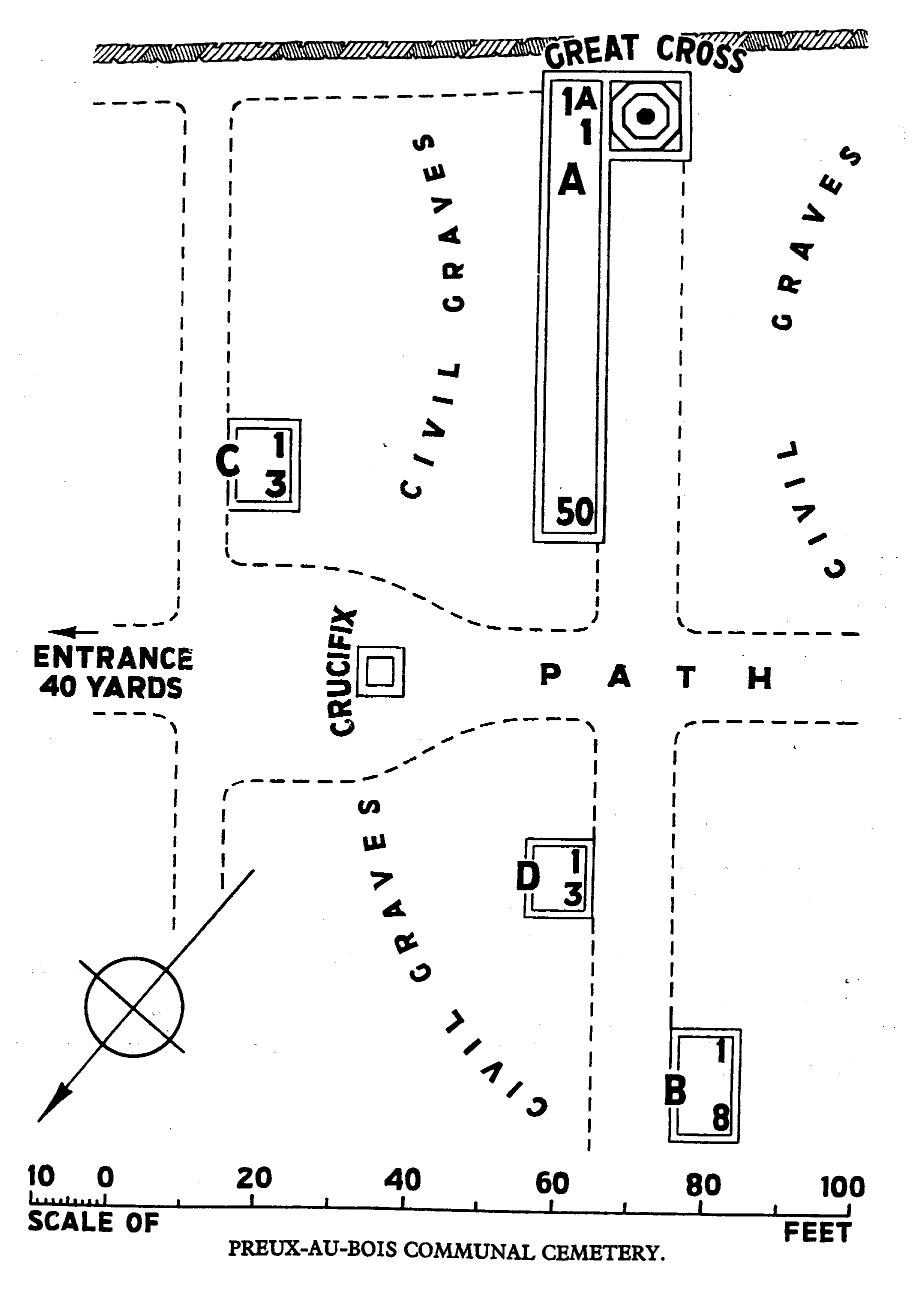
Preux-au-Bois is a village in the Department of the Nord, between the western edge of the Foret de Mormal and the main road from Landrecies to Le Quesnoy (D934). The cemetery is on the D100 towards Hacq on the outskirts of the village of Preux.
Visiting information
Wheelchair access with some difficulty.
For further information regarding wheelchair access, please contact our enquiries department on telephone number 01628 634221.
The register is available in the Mairie from Monday to Saturday from 9.00 to 12.00
History information
The village of Preux-au-Bois was captured on the 4th November, 1918, after a severe struggle, by units of the 18th Division and Tanks. There are now over 60, 1914-18 and a small number of 1939-45 war casualties commemorated in this site. The Commonwealth graves cover an area of 145 square metres.