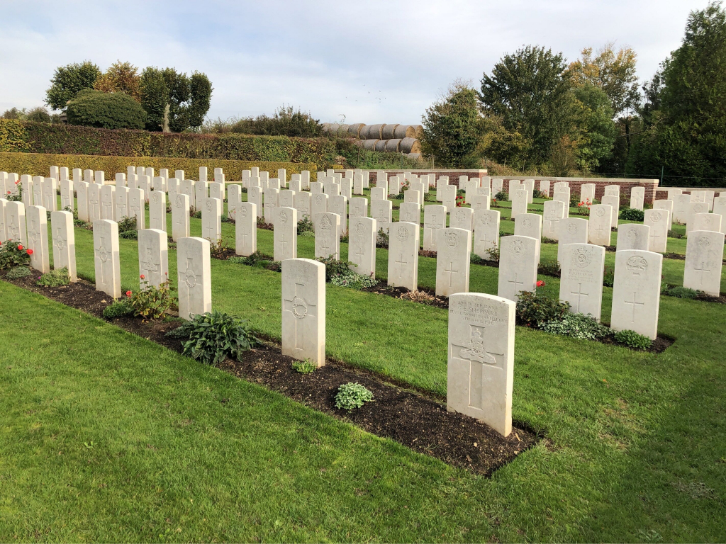
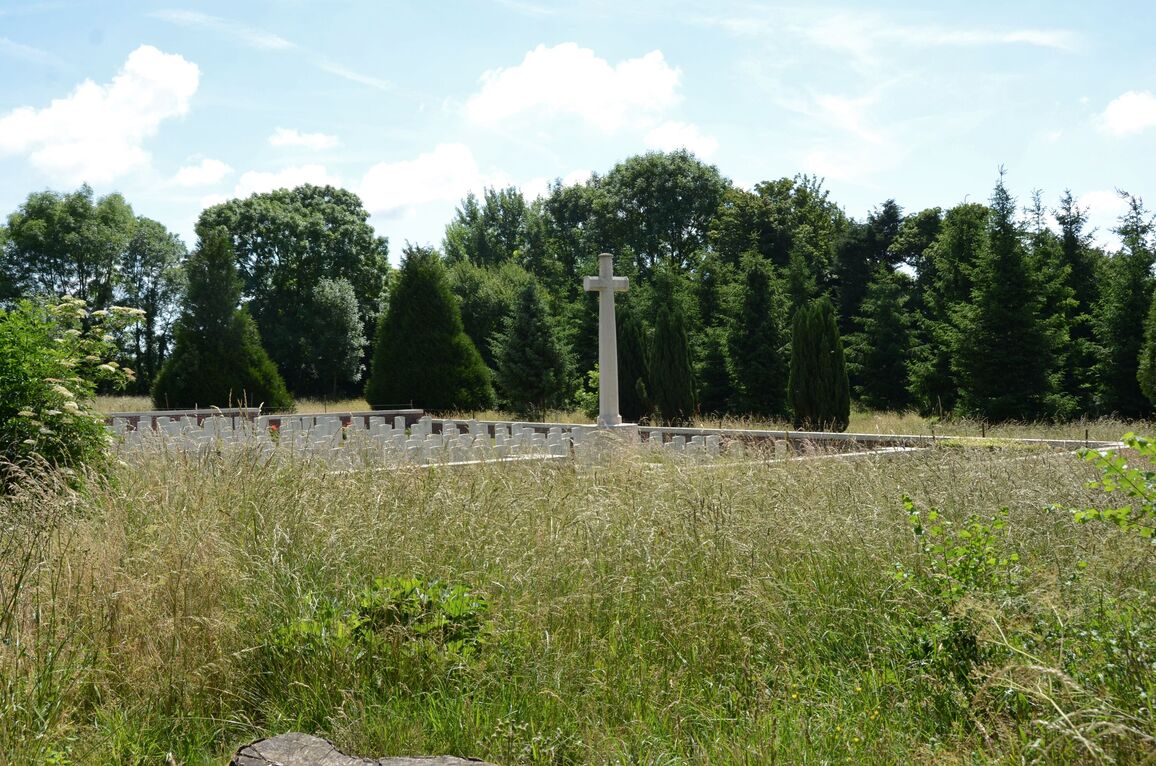
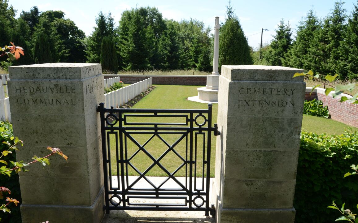
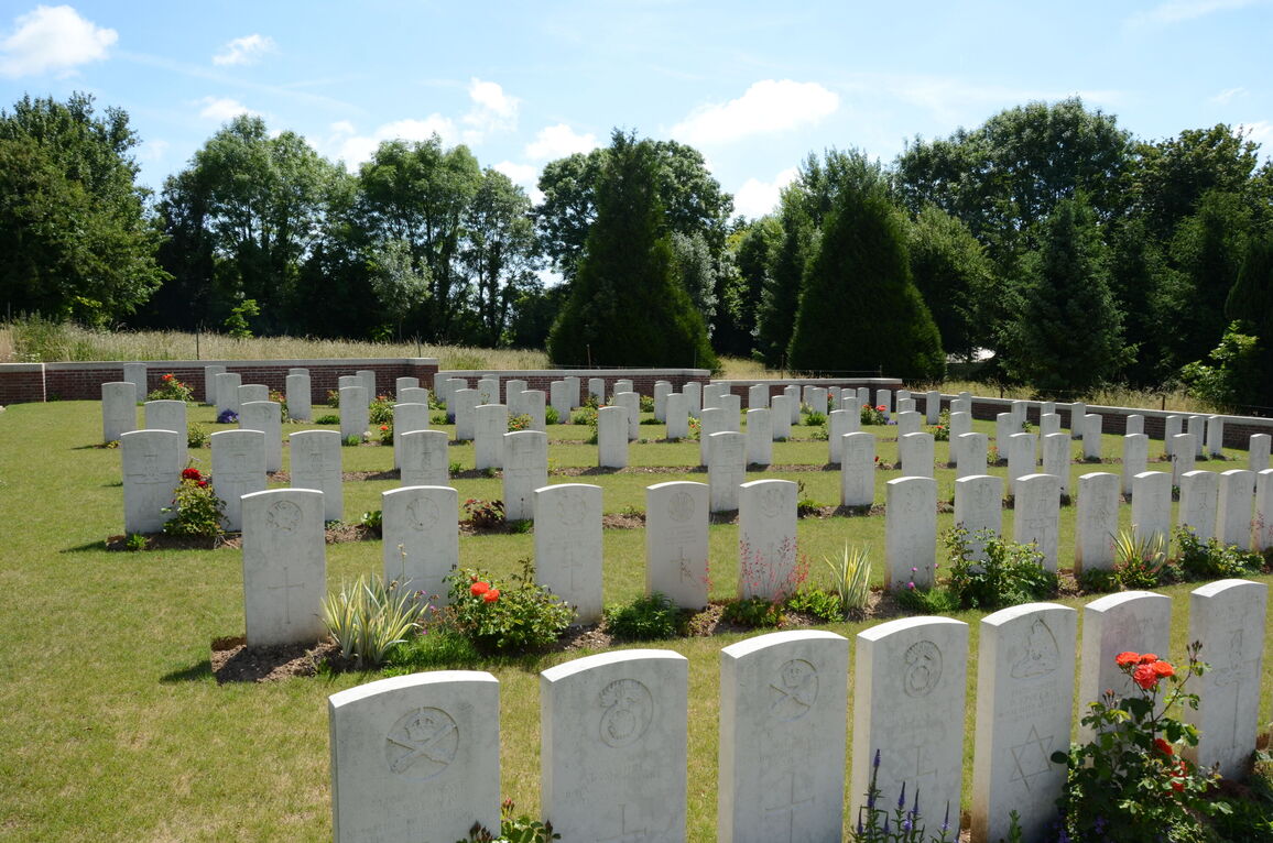
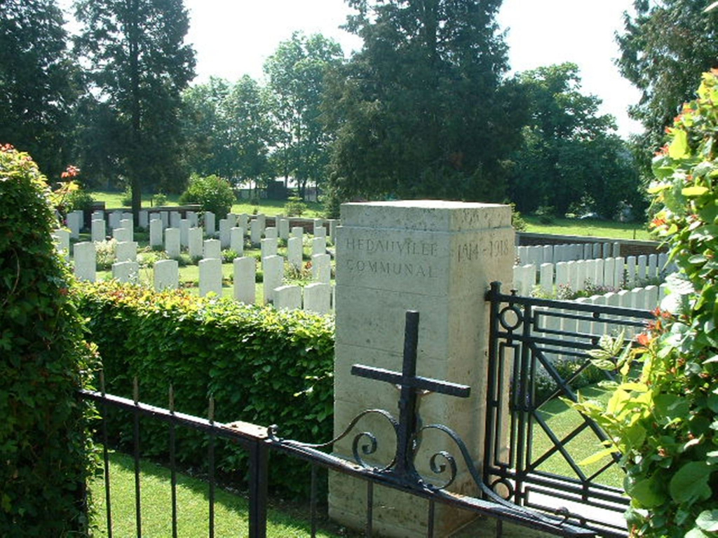
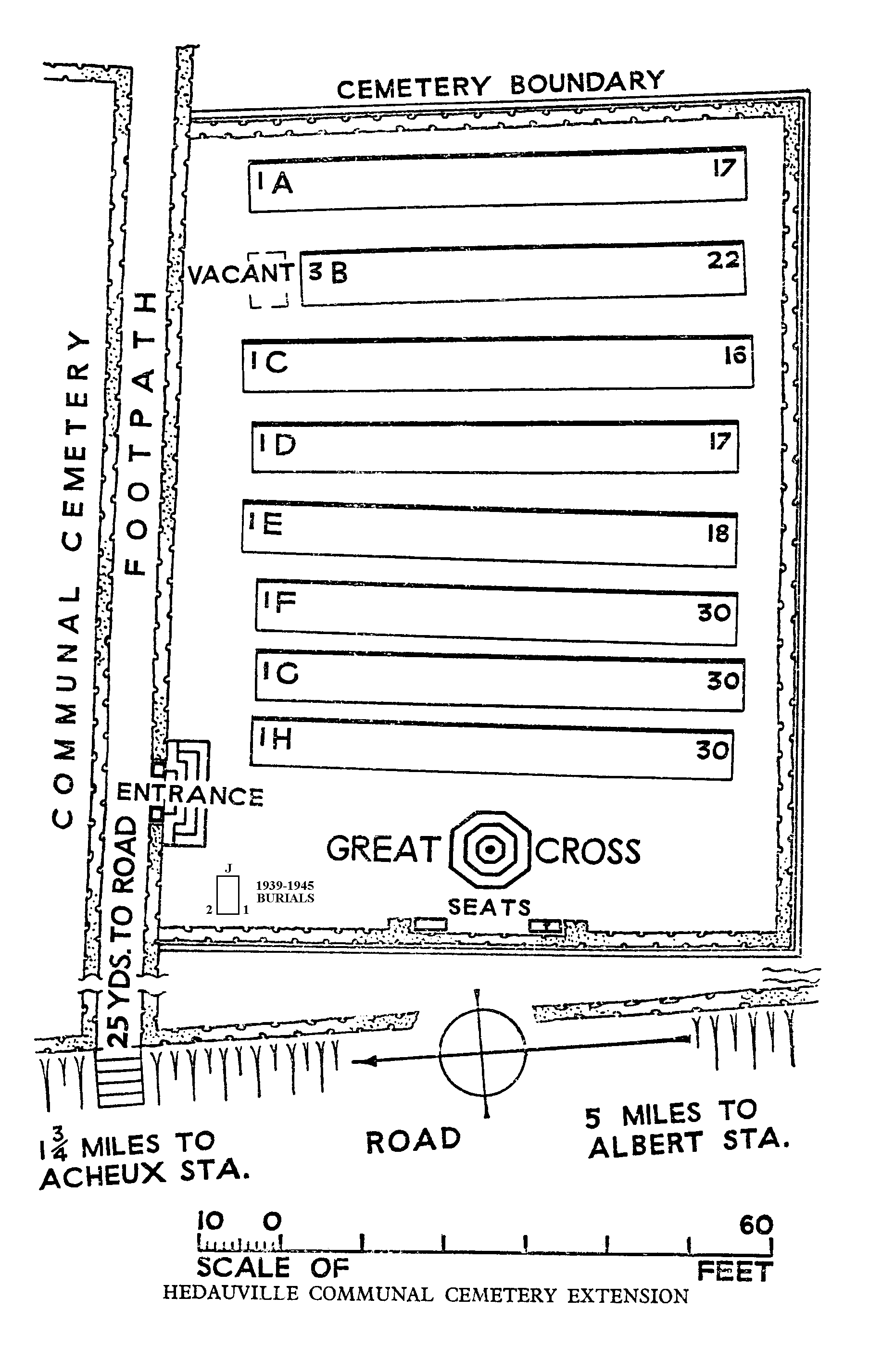
Hedauville Communal Cemetery Extension
- Country France
- Total identified casualties 176 Find these casualties
- Region Somme
- Identified casualties from First & Second World War
- GPS Coordinates Latitude: 50.04755, Longitude: 2.56542
Location information
Hedauville is approximately 5 kilometres north-west of Albert, on the road to Doullens. Using the D919 from Arras to Amiens you will drive through the villages of Bucquoy, Puisieux, Serre-les-Puisieux and Mailly Maillet. After leaving Mailly Maillet continue on the D919 until you come to a crossroads where you should turn right on to the D938 in the direction of Doullens. Hedauville Communal Cemetery is 600 metres further on the right.
Visiting information
Wheelchair access is possible with some difficulty. For further information regarding wheelchair access, please contact our enquiries department on telephone number 01628 634221.
History information
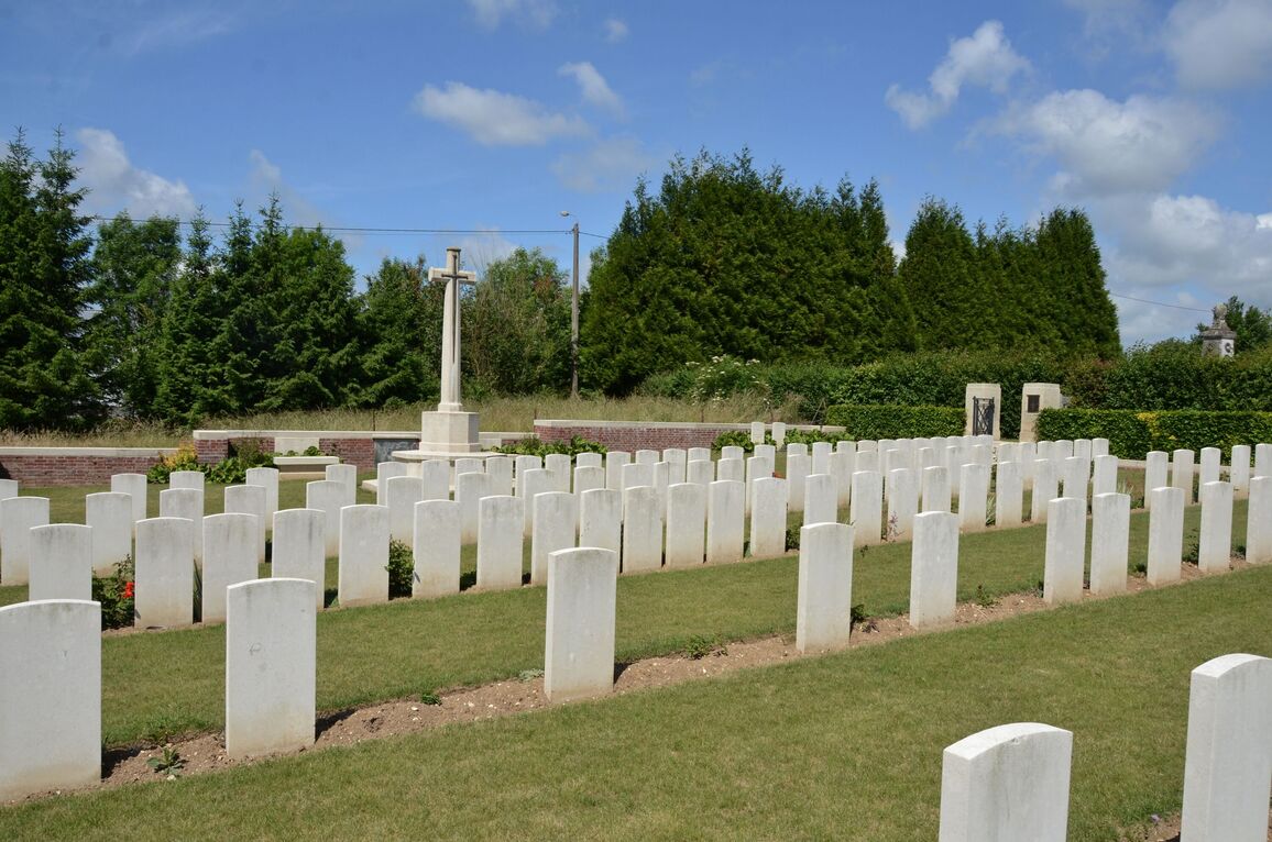
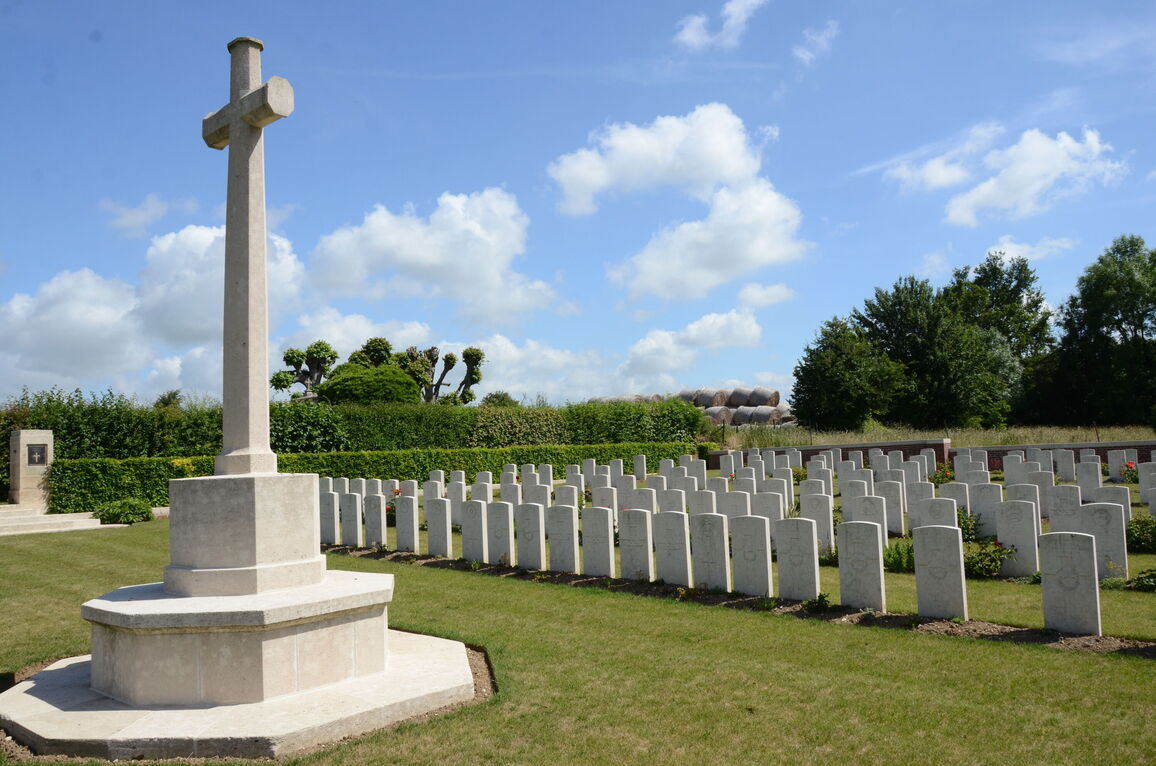
The extension was begun at the end of March 1918, when the front line was consolidated a short distance east of the village following the German offensive. It was used by field ambulances and fighting units until the following August. The extension contained 95 graves at the Armistice, but was later increased when graves were brought in from the surrounding battlefields of March-August 1918. There are now 178 First World War burials in the extension and two from the Second World War. The extension was designed by W H Cowlishaw.