Samer Communal Cemetery
- Country France
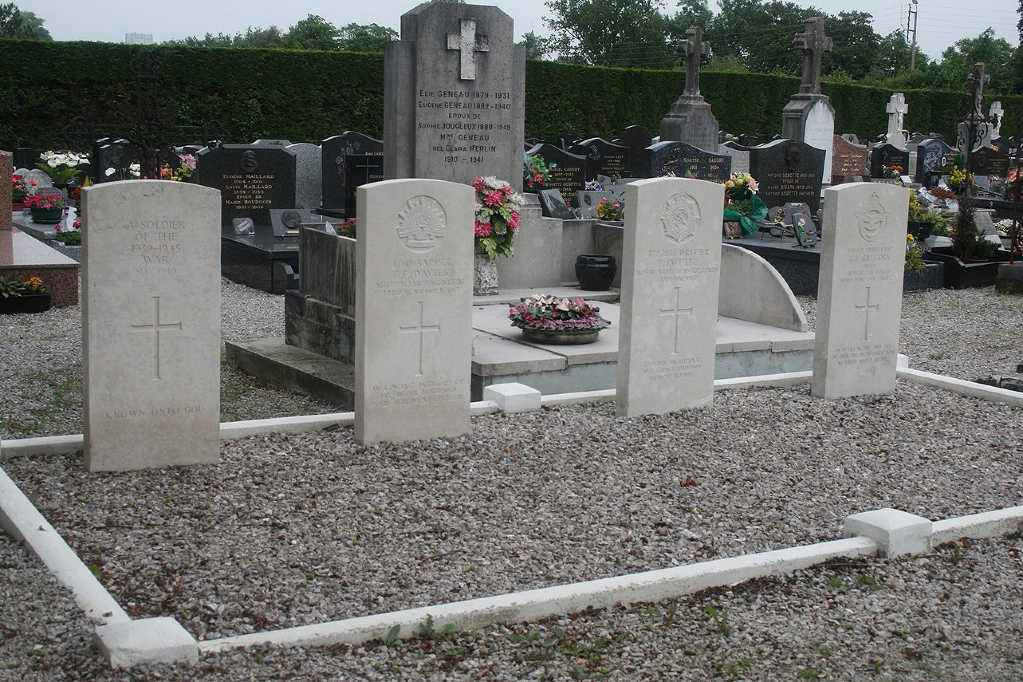
- Total identified casualties 4 Find these casualties
- Region Pas de Calais
- Identified casualties from First & Second World War
- GPS Coordinates Latitude: 50.63903, Longitude: 1.73917
Location information
Samer is a small town and commune 14 kilometres south-east of Boulogne, on the main road (N.1) to Montreuil and Paris. The communal cemetery is on the western side of the town, south of the D.52 road to Carly. The Commonwealth graves are located near the north boundary and east of the crucifix.
History information
Samer Communal Cemetery contains two Commonwealth burials of the First World War and the graves of two Second World War airmen.