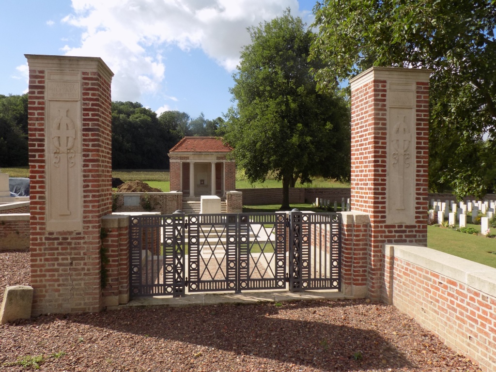
Carnoy Military Cemetery
- Country France
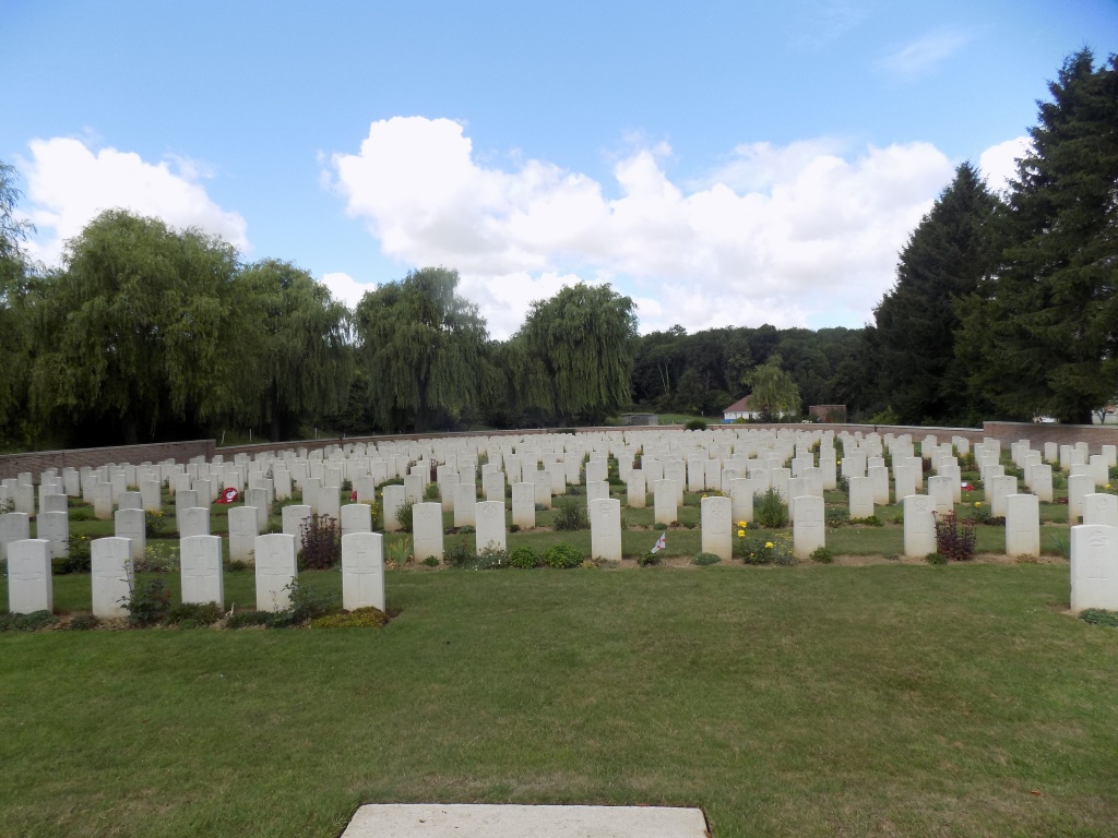
- Total identified casualties 827 Find these casualties
- Region Somme
- Identified casualties from First World War
- GPS Coordinates Latitude: 49.98221, Longitude: 2.75494
Location information
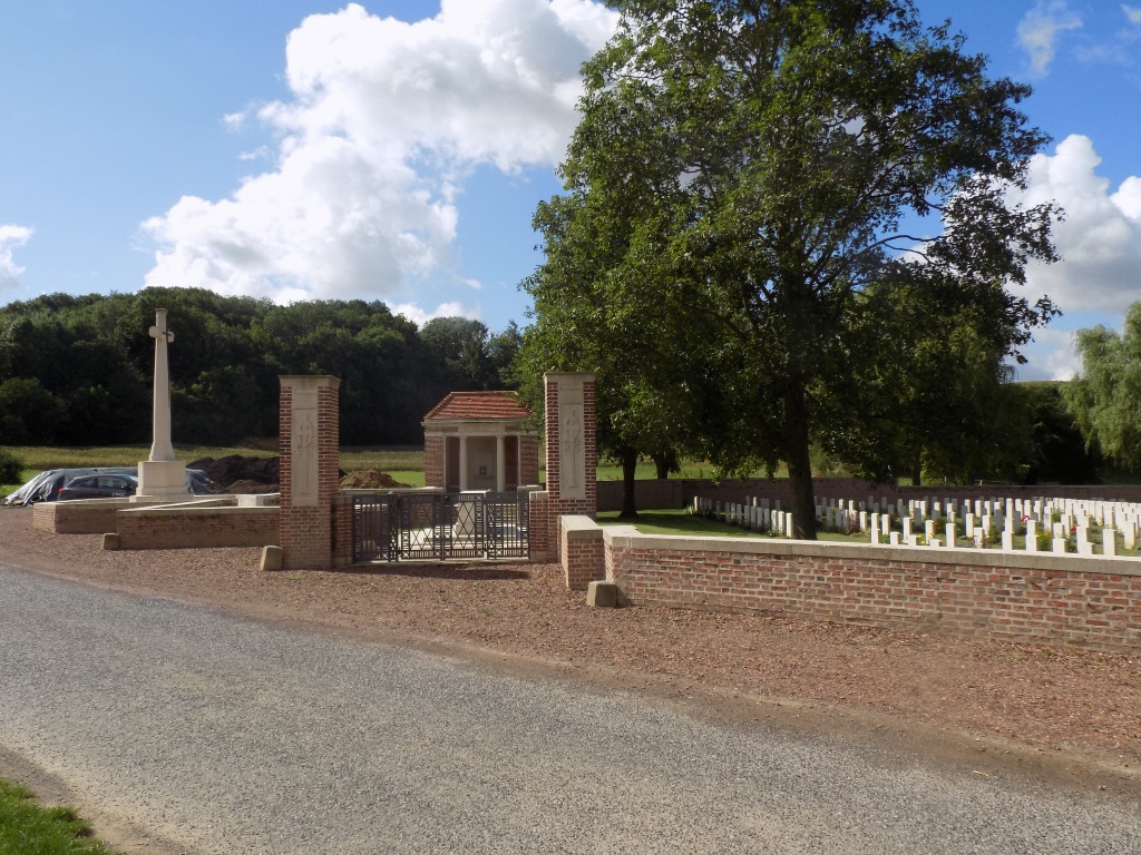
Carnoy is a village just north of the road, D938, from Albert to Peronne, about 10 kilometres east-south-east of Albert. The Military Cemetery is on the south side of the village, on the north side of the road to Maricourt.
Visiting information
The cemetery can be reached by wheelchair using the side gate, but it should be noted that access is on turf. For further information regarding wheelchair access, please contact our Enquiries Section on 01628 507200.
Parking of 2 metres wide is available along the front of the cemetery.
History information
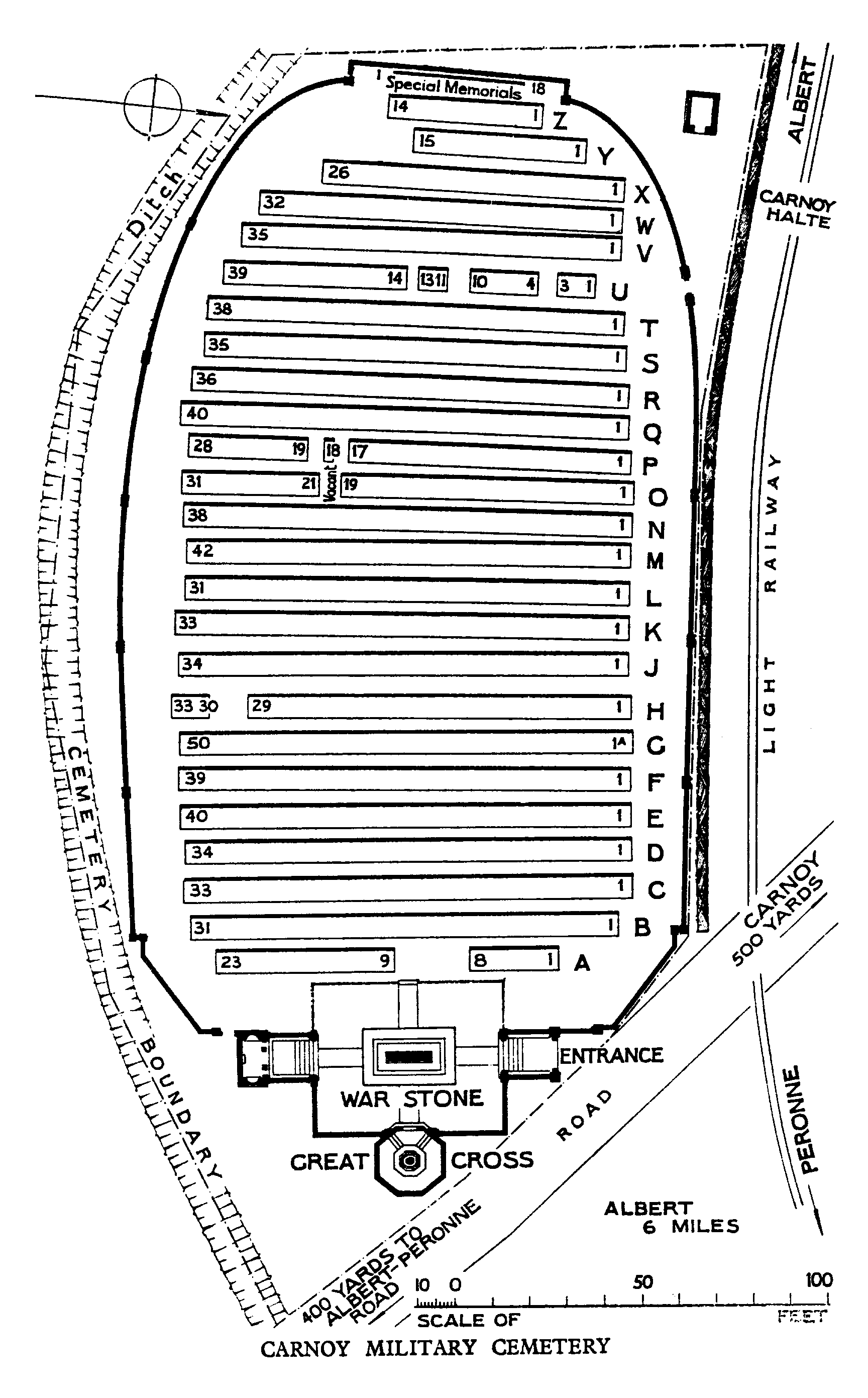
The cemetery was begun in August 1915, by the 2nd King's Own Scottish Borderers and the 2nd King's Own Yorkshire Light Infantry, when the village was immediately South of the British front line. It continued in use by troops holding this sector until July 1916, when Field Ambulances came up and a camp was established on the higher ground North of the village. It was closed in March 1917. From March to August 1918, it was in German hands, and German (and a few British) graves were made between the British graves and the entrance, and also in a German Cemetery alongside; but the German graves and the German Cemetery were removed in 1924.
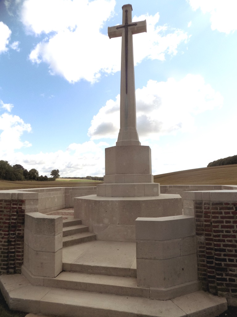
There are now over 850, 1914-18 war casualties commemorated in this site. Of these, nearly 30 are unidentified and special memorials are erected to 17 soldiers and one airman from the United Kingdom, known or believed to be buried among them.
The cemetery covers an area of 4,441 square metres and is enclosed by a red brick wall.