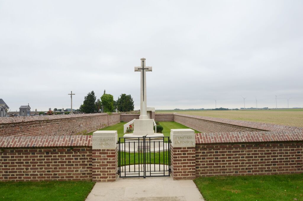
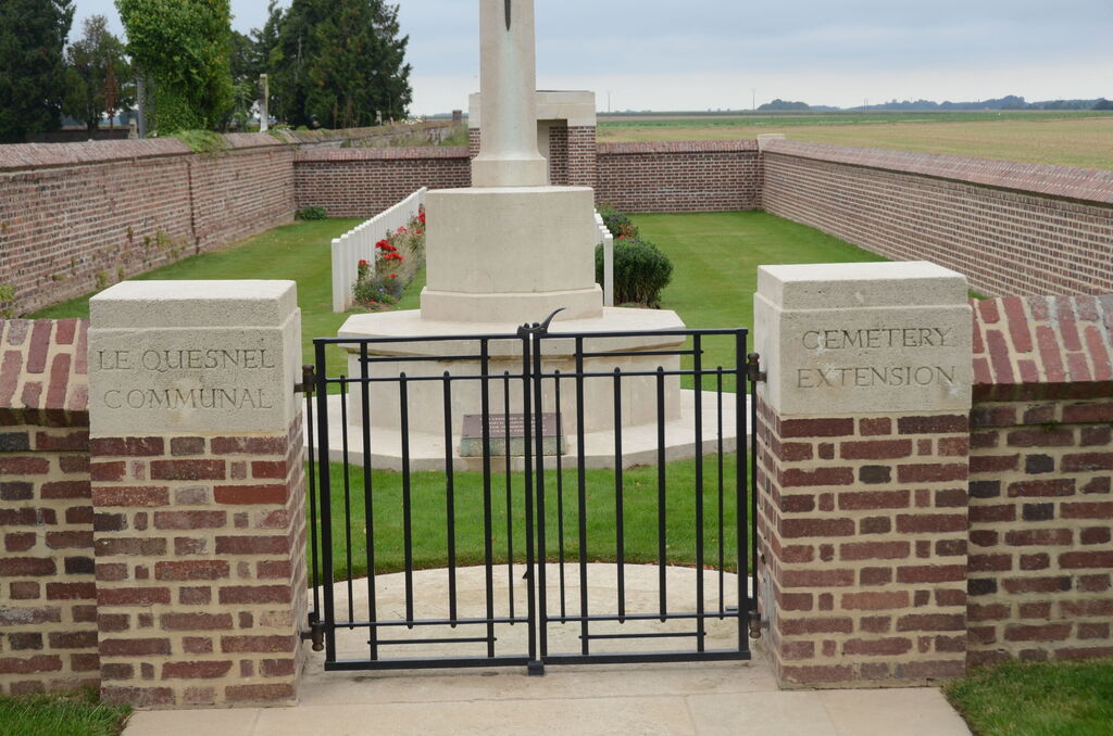
Le Quesnel Communal Cemetery Extension
- Country France
- Total identified casualties 66 Find these casualties
- Region Somme
- Identified casualties from First & Second World War
- GPS Coordinates Latitude: 49.77994, Longitude: 2.63025
Location information
Le Quesnel is a village about 26 kilometres south-east of Amiens and 8 kilometres south-west of Rosieres, and a little north of the main road from Amiens to Noyon. From Peronne take the N17 to Roye, then the D934 to Amiens, about 12.5 kilometres. Turn right towards Caix on the D4 and go through the village. On leaving the village take a small road on the right and the Cemetery is on the left about 300 metres along this road.
History information
The village of Le Quesnel, which had been for some time in British hands, was captured by German forces on the 27th March, 1918, but was retaken on the following 9th August, by the 75th Canadian Infantry Battalion.
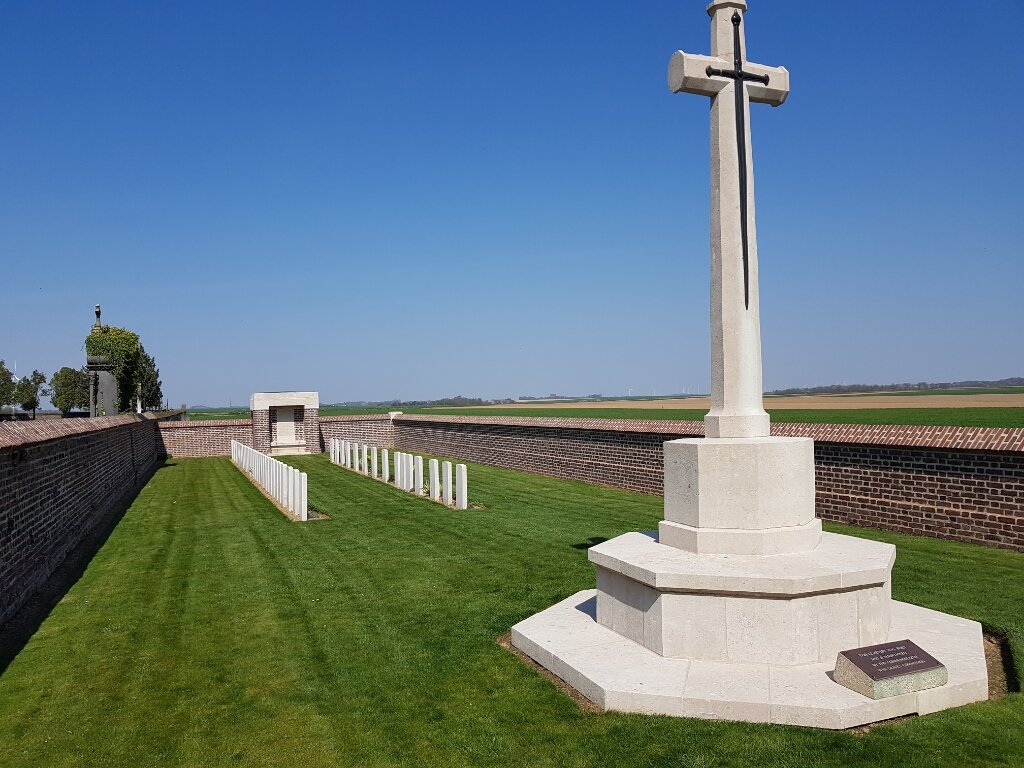
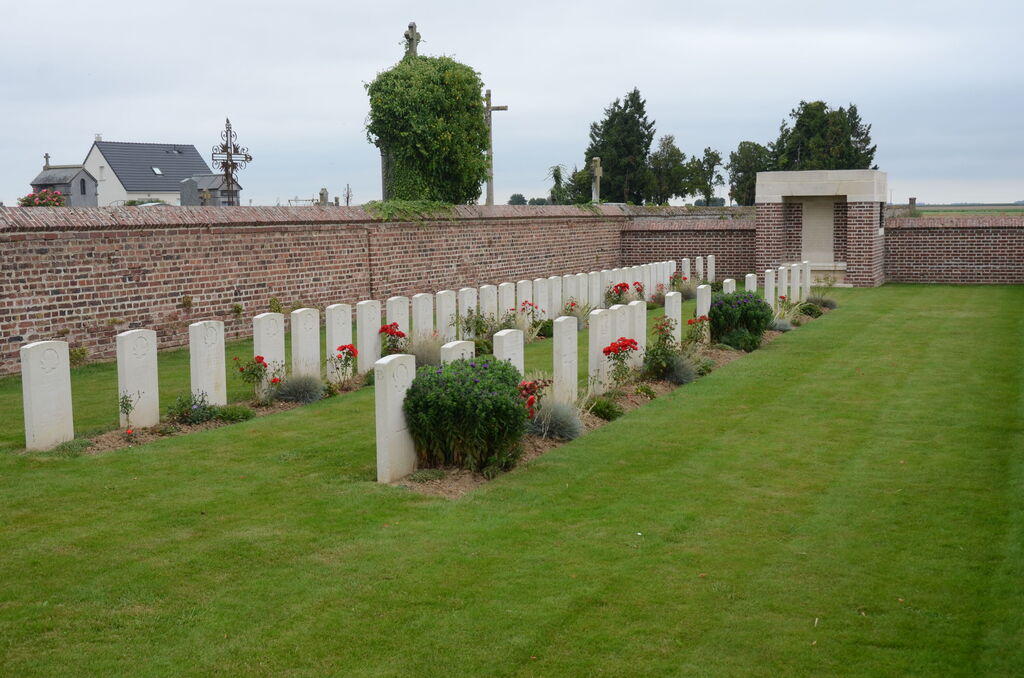
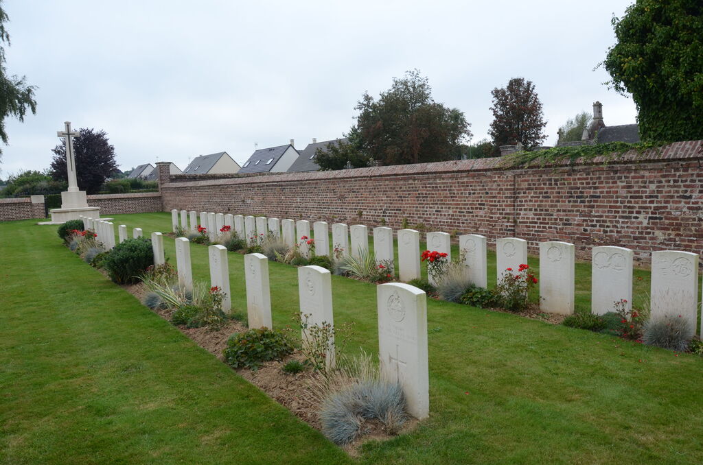
Le Quesnel Communal Cemetery Extension was created by the Canadian Corps Burial Officers in August, 1918. Three graves were transferred here from Fresnoy-en-Chaussee Churchyard in 1934 to ensure perpetuity and proper maintenance.
There are now over 60, 1914-18 and a small number of 1939-45 war casualties commemorated in this site.
The Extension covers an area of 486 square metres and is enclosed by a low red brick wall on three sides and by the higher wall of the Communal Cemetery on the forth.